


Loopysue
Loopysue
About
- Username
- Loopysue
- Joined
- Visits
- 10,416
- Last Active
- Roles
- Member, ProFantasy
- Points
- 10,163
- Birthday
- June 29, 1966
- Location
- Dorset, England, UK
- Real Name
- Sue Daniel (aka 'Mouse')
- Rank
- Cartographer
- Badges
- 27
Latest Images


-
What B&W Styles are Suitable for Large Maps?
Here are two ideas from the annuals:
https://www.profantasy.com/annual/2010/august10.html
https://www.profantasy.com/annual/2013/july13.html
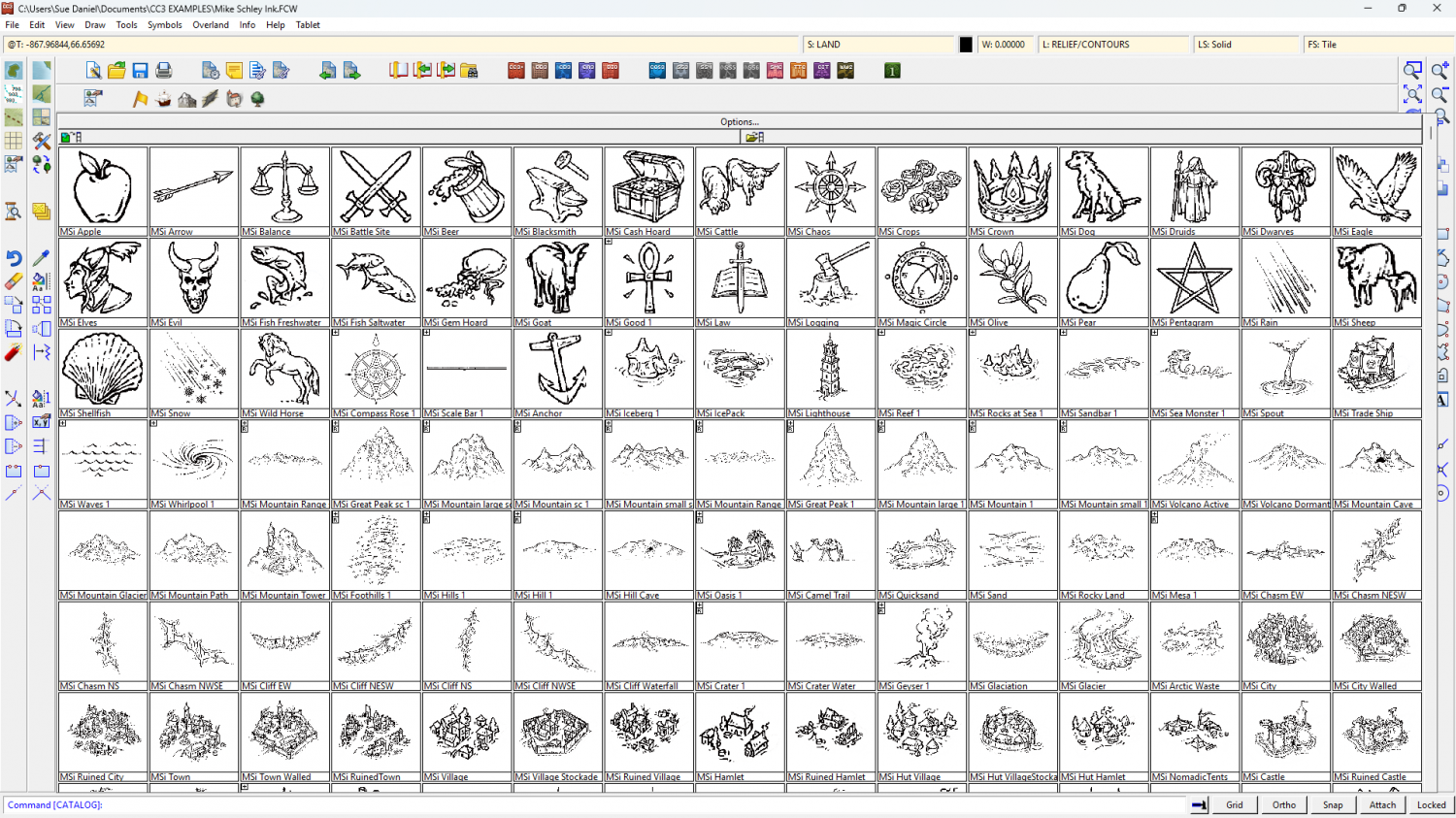
Or you could use Mike Schley's Ink overland style? It's the same as the main style, but black and white.


-
Mr Tumnus’ cave
I think (but am not sure) that should be 'loosely'.
It's a good map :)
There's a slight horizontal bar running across it about 2/3rds down. That's almost certainly caused by the lighting and having 2 passes on the render. If you type EXPORTSETMPPP and get a result of just 4 million (4000000), type 40 million (40000000) and hit return. That should get rid of the mark by reducing the number of passes to 1.
And thanks - you're welcome. I fiddled around with the lighting tech, that's all.

-
Forum vs Product Registration
They're completely separate, Slither, so you will need to register an account if you make a purchase to be able to download your software.
This is the login/register page https://secure.profantasy.com/service/entrance.asp


-
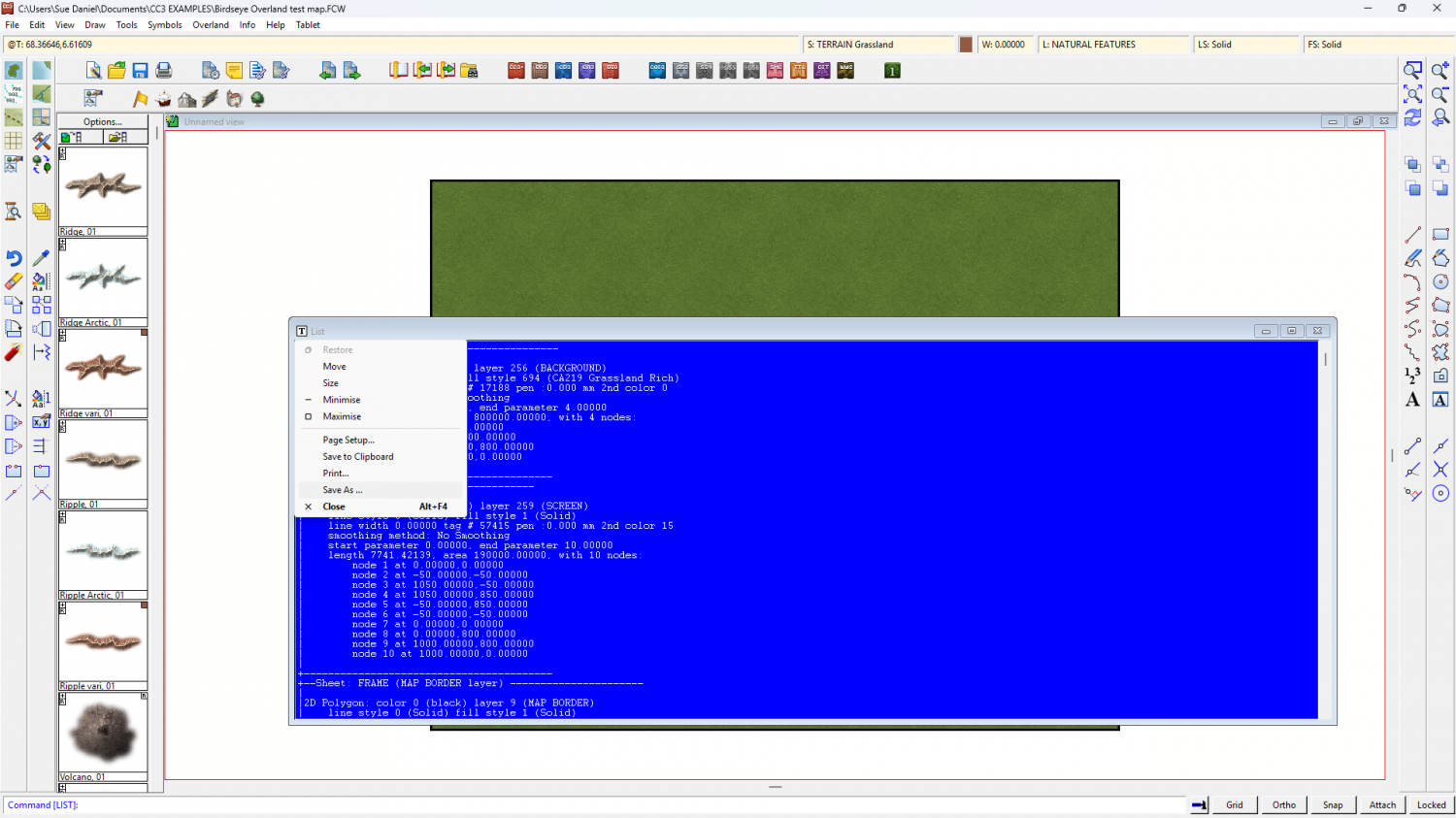
Exporting wall data to a text file
You can do it by hand if what you've done there is generate a List window like this one. Click "List" for a dropdown menu to save as a txt file.


-
Live Mapping: DD3 Dungeon
This week (24 April 2025), Ralf will be creating a classic dungeon with the Dungeon Designer 3 style, with a focus on the basic tools.
Come and join the chat live on Youtube here:
https://www.youtube.com/watch?v=JUcDuS8cq20
Or watch it later here on the forum:
This thread is not monitored during the show, but any questions you have that aren't answered in the show you can ask below.

-
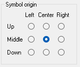
How can I import my own Hextiles into CC3+?
To have your hexes origins set at the centre there must be no space in the png around the edge of the hex, or if there is a space the space must be exactly the same number of pixels all around.
When you import your hexes again, having remedied any edge discrepancies, make sure that you import them with the "Symbol origin" set to the centre of that grid of radio buttons, like this.
-
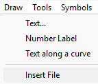
Tracing an existing map on paper or a image file.
Yes. You can import the scanned image into your drawing using Insert File in the Draw menu.
First, make sure the image you want in your map is in the same folder as your FCW file, and keep it with the FCW file from that point on.
Second, make a new sheet and call it BITMAP, or TRACE, and pick or create a new layer by the same name. Make sure both are active in the status bar.
Then import your image. A dialog will open allowing you to browse to the file. When you have opened it you will need to click once to place the lower left corner, and a second time to place the top right corner, thereby scaling it to the size you want it.
Finally, You will need to add a Transparency sheet effect to the BITMAP sheet to control how opaque it is.
Don't forget that you can move the new BITMAP sheet up and down the list to put it in the right place to prevent it getting in the way.

-
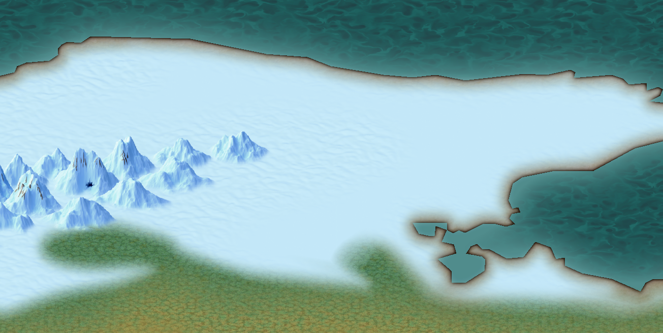
CC4 Overland Development Thread
I'm working on a slightly better one than the old wavy pattern, but when I say working on it I'm not sure yet what it will look like.
At the moment it's just a flat colour.

-
Live Mapping: Villages of Schley (revived)
This week, Ralf has rebooked the session that was cancelled in mid-May, and will be using the Cities of Schley style from Symbol Set 5 to create a detailed village map, showing off the style's options for a rural setting.
Come join us live for the chat and a chance to ask questions here on the day*
https://www.youtube.com/watch?v=Hj6KlhN3tlQ
Or watch it later here on the forum if you prefer.
*This thread isn't monitored during the live show, but you can add further questions and comments to it if you miss the date.

-
Live Mapping: Fantasy Hand-drawn Part 2
Join Ralf for tomorrow's live mapping session for a look at the latest Cartographer's Annual issue, which expands his beautiful Fantasy Hand-drawn overland style.
Join the live chat on YouTube here:
https://www.youtube.com/watch?v=nvANWTdbpHI
Or watch it here on the forum*
This thread isn't monitored during the show, but is a place where you can chat, ask questions and compare notes.

