


Loopysue
Loopysue
About
- Username
- Loopysue
- Joined
- Visits
- 10,354
- Last Active
- Roles
- Member, ProFantasy
- Points
- 10,108
- Birthday
- June 29, 1966
- Location
- Dorset, England, UK
- Real Name
- Sue Daniel (aka 'Mouse')
- Rank
- Cartographer
- Badges
- 27
Latest Images


-
Grimdark Fantasy (renamed "Darklands") - development thread
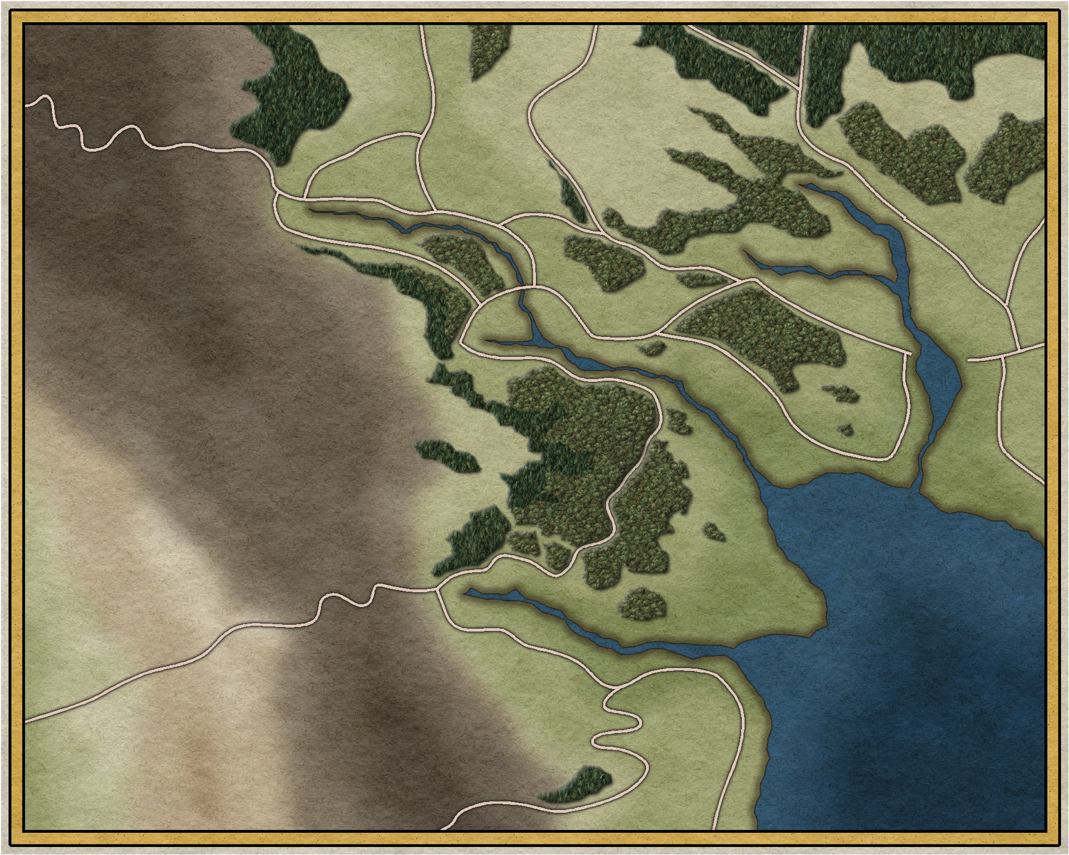
Ok!
To make the paper really worth it, the texture had to be very large, so I compensated for the strain on the cache by doing away with all bar 4 of the original textures and making the terrain plain colour polys that are multiplied onto the paper background so they look like they have been painted onto it.
I think I've got the colours fairly similar.


-
Grimdark Fantasy (renamed "Darklands") - development thread
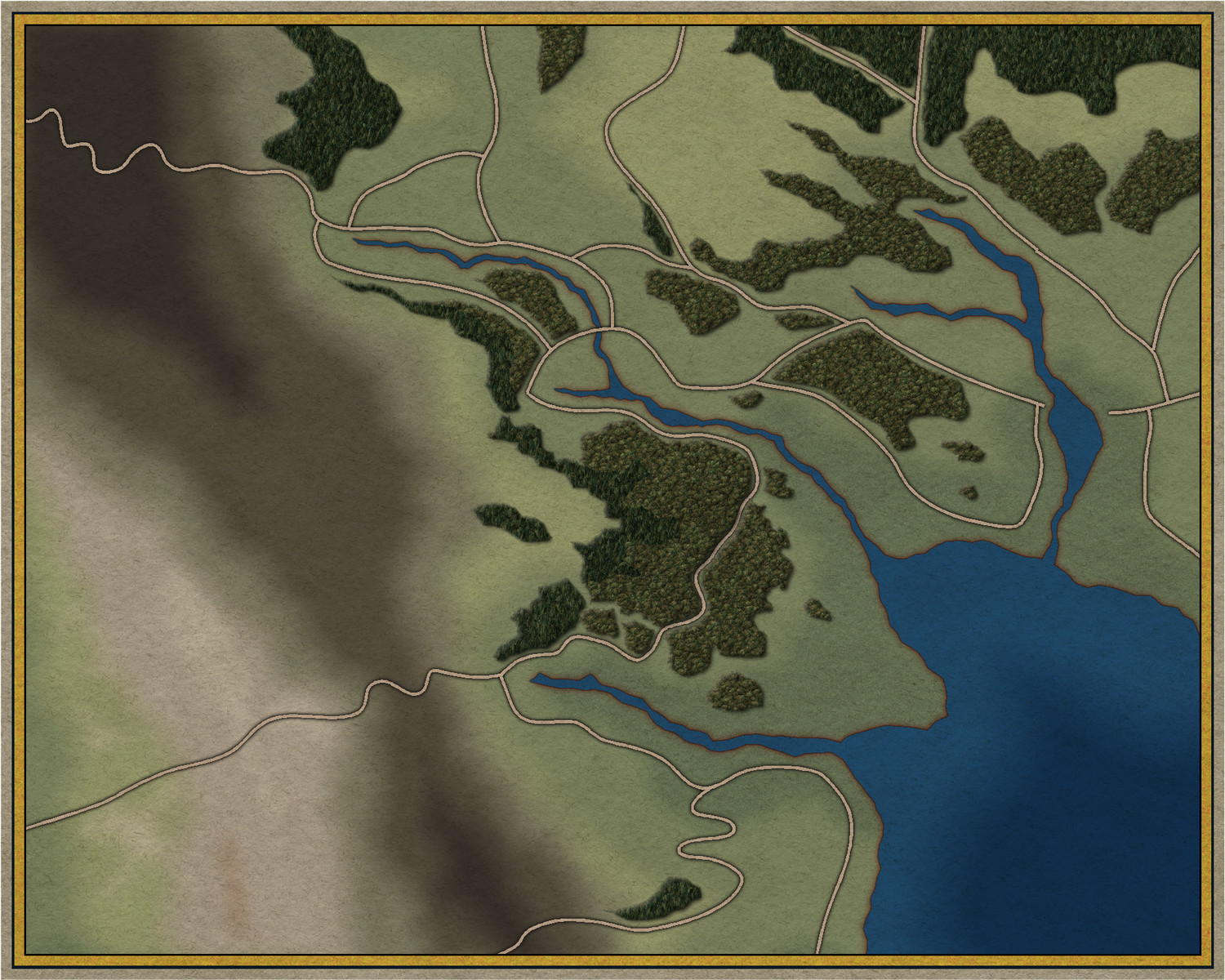
Ok. I've tried all kinds of different colour variations and they all look just as weird as the pink tint.
So I decided to totally flatten the patterns in the textures (except the forests) and impose a paper texture on all of them. Maybe this looks more 'grim' without looking bad?
![[Deleted User]](https://secure.gravatar.com/avatar/c75d9a245b74d9c59be0999ea81ca541/?default=https%3A%2F%2Fvanillicon.com%2F92add7f8c954488718110edc4896ad39_200.png&rating=g&size=200)

-
Grimdark Fantasy (renamed "Darklands") - development thread
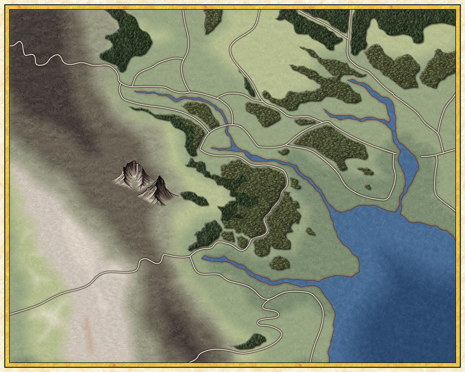
Something like this, then?


-
October Challenge WIP
It looks terrific :)
Don't forget to add it to the main sticky thread.
-
Using fractalization, land mass, or ocean, vanishes. It isn't in the map afterwards
Hi Jim. I was just messing around with the map while Remy and I were talking about it behind scenes and discovered that there were things on the MAP BORDER layer that shouldn't be there. I moved them onto a new temporary layer and the fractalisation worked fine.
I hope that cures it for you. If it doesn't just shout.
