Loopysue
Loopysue
About
- Username
- Loopysue
- Joined
- Visits
- 10,411
- Last Active
- Roles
- Member, ProFantasy
- Points
- 10,161
- Birthday
- June 29, 1966
- Location
- Dorset, England, UK
- Real Name
- Sue Daniel (aka 'Mouse')
- Rank
- Cartographer
- Badges
- 27
Latest Images


-
Marholt - png map to FT3 - a commission
There are several stages in CA155 that readjust the altitude range to stretch it out again for the very reasons that Joe stated above.

-
Marholt - png map to FT3 - a commission
Looks great, Quenten :)
The thing about hand sculpting a world is that it is difficult to get all the mountain ranges to the exact same height across the globe. What normally happens is that you end up with just one mountain range being the tallest, with all the others graded below that maximum. Its not so bad if you really take care of what you are doing at the sculpting stage and try to stop just as you hit the red gamut marker for each and every range. That way, they will all have at least one mountain that is around 30,000 feet.
![[Deleted User]](https://secure.gravatar.com/avatar/c75d9a245b74d9c59be0999ea81ca541/?default=https%3A%2F%2Fvanillicon.com%2F92add7f8c954488718110edc4896ad39_200.png&rating=g&size=200)
-
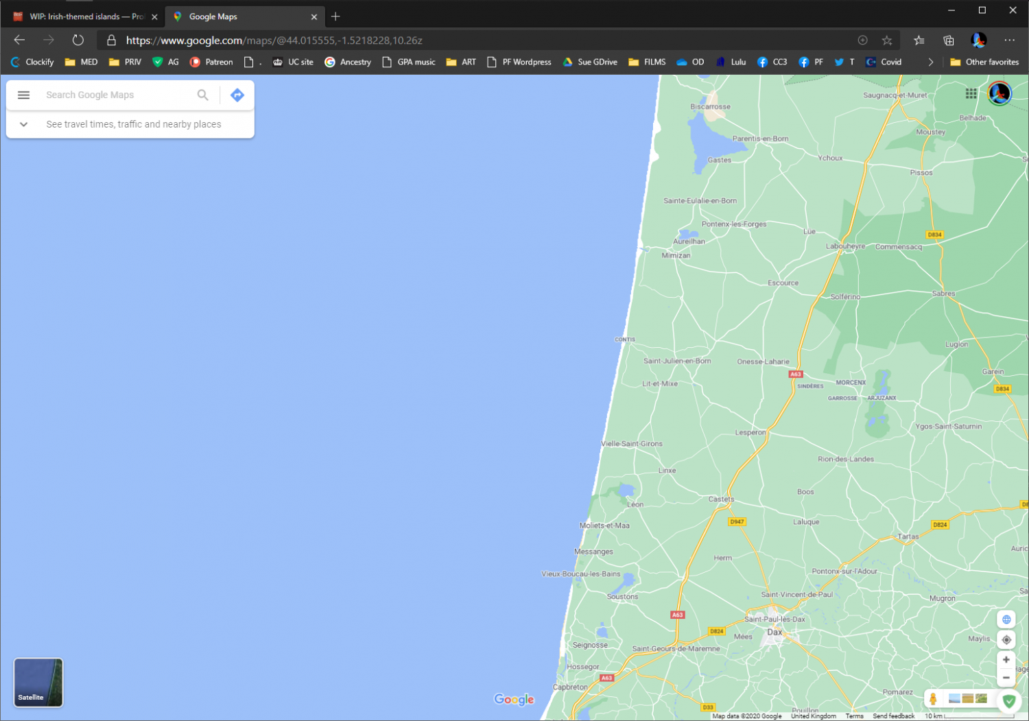
WIP: Irish-themed islands
I think this unnatural aversion to long slightly curved sections of coast we all seem to have may be why we find it so difficult to generate natural looking coastlines.
Straight coast tends to happen where the hinterland is rather flat and geologically homogenous, so that erosion doesn't eat little coves into it over time in the softer rocks.
It would only be unnatural to have long straight bits of coast if all the coast in the world was like that.

-
ARGH!!! Keep accidently changing scale! Curse you CTRL!!!
I used to do that in the first few months. You get used to it in the end - a bit like touch-typing without even needing to think of what letters you are actually hitting.


-
WIP: Irish-themed islands
I didn't notice the straightness either. And if you think they don't exist, think again. This is almost the entire west coast of France - a relatively long section of coast.