Loopysue
Loopysue
About
- Username
- Loopysue
- Joined
- Visits
- 10,419
- Last Active
- Roles
- Member, ProFantasy
- Points
- 10,163
- Birthday
- June 29, 1966
- Location
- Dorset, England, UK
- Real Name
- Sue Daniel (aka 'Mouse')
- Rank
- Cartographer
- Badges
- 27
Latest Images


-
Birdseye Continental - style development thread
The wetlands are already there. I've labelled the marsh, but not the swamp.
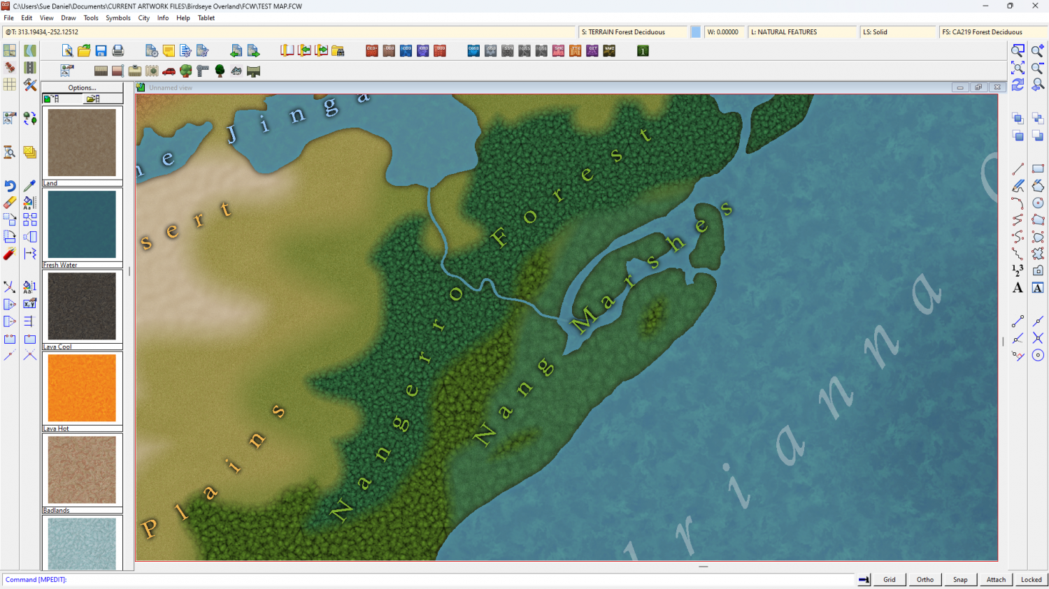
The swamp fill may need a bit more definition, across the inlet from Bantu
The forest fills are mere placeholders for now. All the same texture coloured differently by Colorize sheet effects. They will look a lot less like lumpy porridge by the time I'm done ;)
All the fills will be refined before publication.
I've got one river drawing tool. I think I will call it "River, default Amazonian", as it's 3 miles wide.


-
Birdseye Continental - style development thread
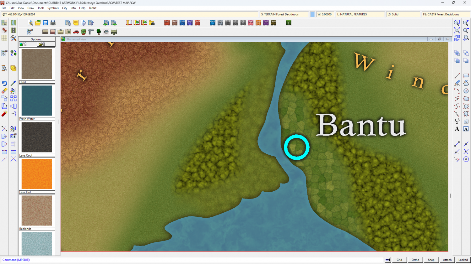
@Calibre We ninjad each other.
You could use just the hills as they are, or you can add the mountain tops I mean to create.

-
Cosmographer resolution problems
It should reduce your passes to about 3-4.

-
Birdseye Continental - style development thread
If it happens one day, that would be awesome! :)
For now, though, I've settled on an EFI combined with an Alpha Blur.
-
Birdseye Continental - style development thread
Thanks :)
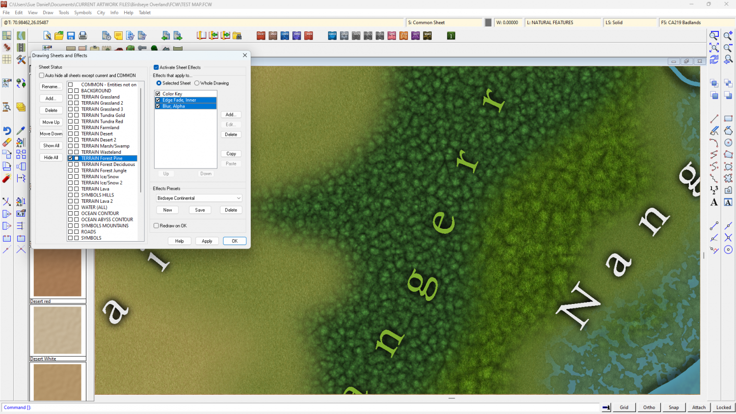
Those are pine and deciduous.
This is tropical/deciduous (at the moment).
-
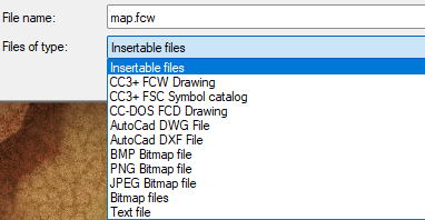
Can CAD files be imported?
If you check the list of files you can import using Insert File in the Draw menu, it shows some types of CAD file, but I'm not sure how current those file types are. I'm assuming that this list is a list that has existed since the dawn of CC, so file types may have changed since then.
-
Can't Export this to JPEG
I got it to export with everything visible after I used SIMPLIFY on the land, set to zero. That removes any duplicated nodes right on top of one another and neatly trims all those hundreds of nodes you don't need outside the map all in one go.
It's still very slow to pan and zoom, though not quite as bad as before using SIMPLIFY on the land.
Try using it on the forests, and anything else you have in the map that isn't a smooth poly.
Incidentally, you don't need to go through all the rigmarole of doing a rectangular section if you are exporting the whole map. Use Restrict to map border and export an ordinarly JPEG bitmap. The frame is on the MAP BORDER layer and works just fine.

-
Can't Export this to JPEG
Remy taught me how to do it. Press SHIFT+the windows key+S, and then pick your spot with the mouse.
(This is Win 11. Don't know if it works in Win 10)

-
Birdseye Continental - style development thread
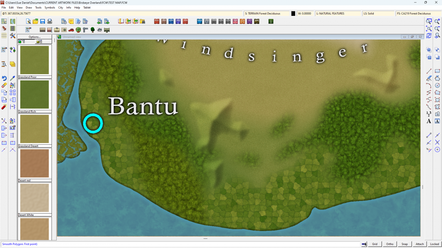
I think I like them better as well, though I want to add a few more details, either to the image or the map file.
While I'm developing my own kind of mapped mountain technique, I should make it known that I will do mirror versions of each symbol, since reflecting just the one original doesn't work well. Map files don't like being reflected. The whole style will look better if you don't mirror any of the symbols, but stay with everything the right way around.
Rotating and scaling is fine. Just resist the idea of mirroring things.
-
mirror/flip a poly ???
I think you should be able to use MIRCPY. It requires that you click twice to define a mirror line on the map. You will have to delete the original and move the copy into position.