Loopysue
Loopysue
About
- Username
- Loopysue
- Joined
- Visits
- 10,415
- Last Active
- Roles
- Member, ProFantasy
- Points
- 10,161
- Birthday
- June 29, 1966
- Location
- Dorset, England, UK
- Real Name
- Sue Daniel (aka 'Mouse')
- Rank
- Cartographer
- Badges
- 27
Latest Images


-
Birdseye Continental - style development thread
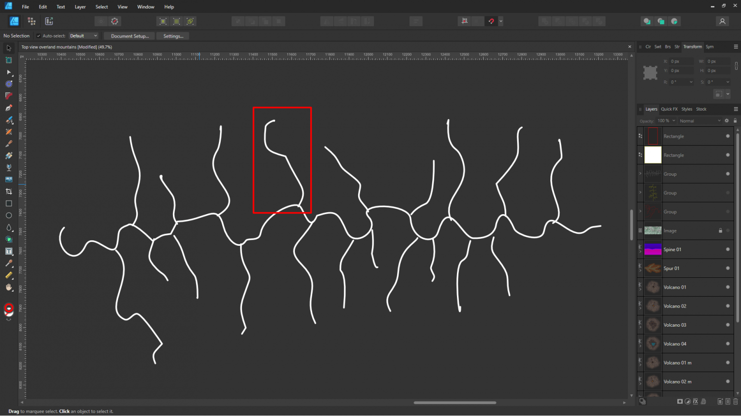
Rivers aside, I've been doing some work on the appearance of these mountain lego bits.
The shape leaves a lot to be desired at the moment, but I think I've got a workable style.
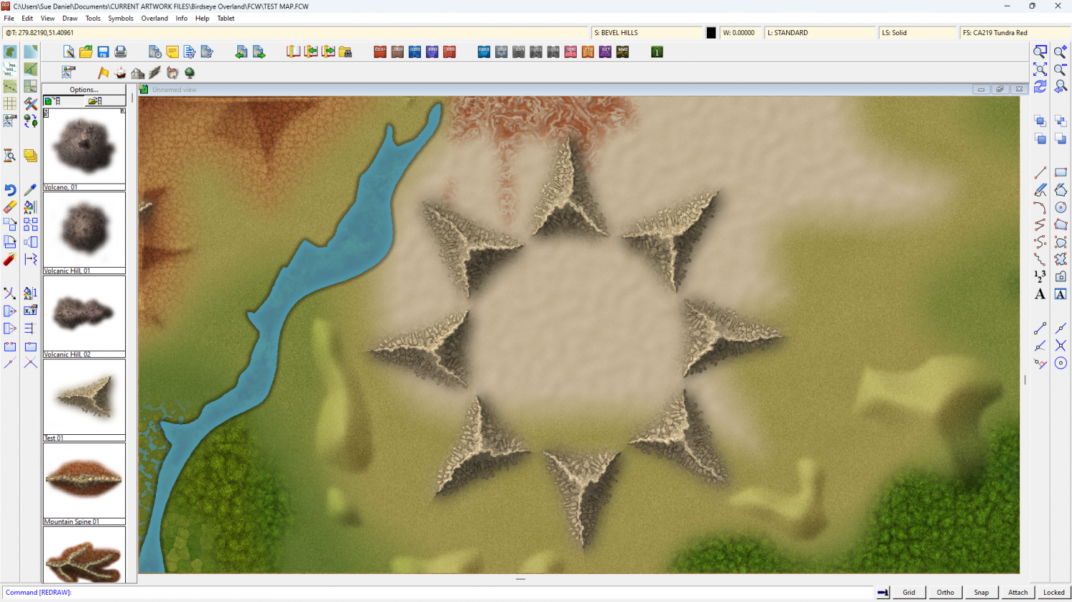
This is a ring of the same test symbol - testing the map file shades correctly.


-
[WIP] Community Atlas: Snakeden Swamp, Lizard Isle, Alarius - Dedicated to JimP
It's great to see work being done to expand on Jim's gifts to us.
-
Live Mapping: Custom City Map
You didn't hijack it at all, Don. The reason we do live sessions is for people to ask questions.
-
After Day's of Watching Videos
I've got the best results by picking a world that's sort of right in the general essence, and then editing it to make it more like the vision it generated in my head.
Sorry for hijacking the thread quite a bit, RyanosRealm!

-
Birdseye Continental - style development thread
Here is the design quandry in a nutshell.
On the left is an actual tracing of a section of the Himalayan watersheds. That's the ridges separating the rivers.
In yellow in the middle was a sketch I did of a grossly simplified idea - the central ridge with side spurs. About the only thing it has in common with the Himalayas is that the nodes (where the ridges join) are only ever 3-way. This would be relatively easy to create a set of symbols to emulate, but it doesn't look very realistic.
In white on the right is something that will probably look better, but which is horrendously complicated to create as a 'lego set' of individual symbols that can be used interchangeably for infinite variety.
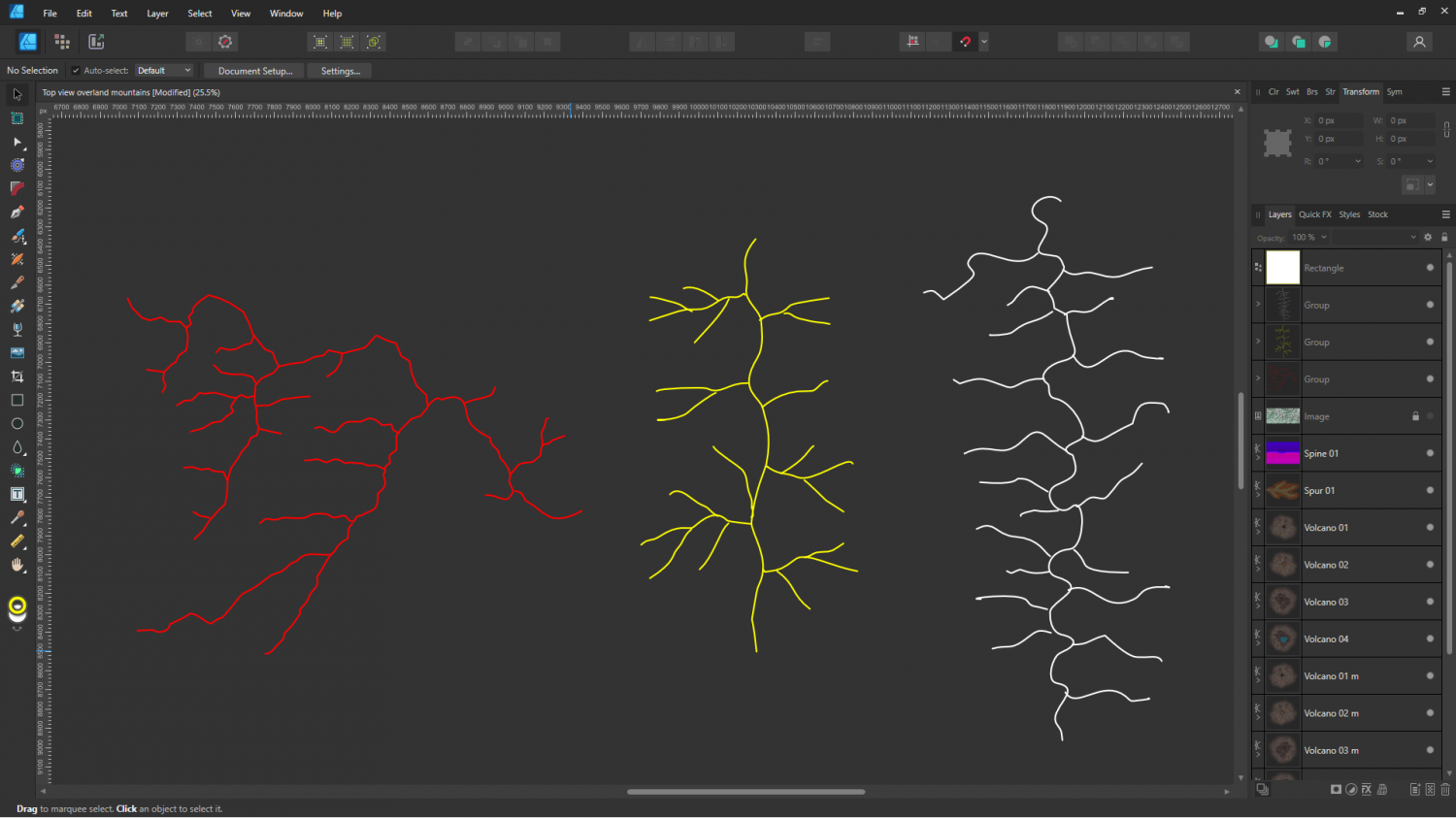
So of course I'm going to try and do something that will work like the white pattern without being too complicated to use.
I think it might just work, though, if I take each section of the main spine with a single spur, like this.