


Loopysue
Loopysue
About
- Username
- Loopysue
- Joined
- Visits
- 10,414
- Last Active
- Roles
- Member, ProFantasy
- Points
- 10,161
- Birthday
- June 29, 1966
- Location
- Dorset, England, UK
- Real Name
- Sue Daniel (aka 'Mouse')
- Rank
- Cartographer
- Badges
- 27
Latest Images


-
Fractal Terrain 3 beginner
No sweat.
Most of what I just said is available in more easily digestible bit-size pieces in the help tool you can open from within FT3, so you can take your time to learn stuff.
Exporting smaller regions might help a bit, though I'm not sure if it will help as much as you want it to. Whatever resolution the export is set to is the one you will get, whether its a whole world, or just a small continent.

-
Banners
I know :)
It's also quite common in other places too.

-
Banners
How interesting! It just goes to show that it pays to do a bit more research than a single Wiki page.
And yes - I think a seal with a seal on it would be just the sort of thing to make people smile on a dark damp day as they flick through the available stamps.

-
Banners
Three more seals done - some of the Celtic knots.

The Horned Triskelion is often attributed to the Celts, but it was used thousands of years before that in the stone age. Modern interpretations usually depict legs instead of coiled horns.
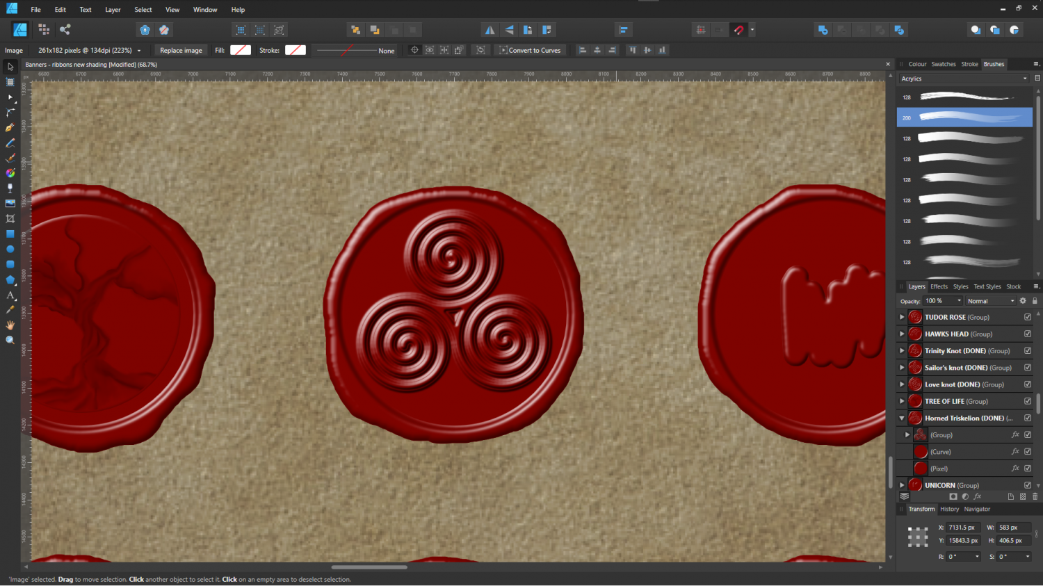
(As you can see I'm still working on the tree of life, but when that is done the Celtic/Pagan subset will be complete for now)

![[Deleted User]](https://secure.gravatar.com/avatar/c75d9a245b74d9c59be0999ea81ca541/?default=https%3A%2F%2Fvanillicon.com%2F92add7f8c954488718110edc4896ad39_200.png&rating=g&size=200)


-
Fantastic castle illustrations for reference
These images are from the portfolio of Wolfgang Braun, who has spent 50 years reconstructing the castles using a combination of factual evidence and fantasy extrapolation where things were unkown about them.
This is the "About Me" page from his official site.
