


Loopysue
Loopysue
About
- Username
- Loopysue
- Joined
- Visits
- 10,414
- Last Active
- Roles
- Member, ProFantasy
- Points
- 10,161
- Birthday
- June 29, 1966
- Location
- Dorset, England, UK
- Real Name
- Sue Daniel (aka 'Mouse')
- Rank
- Cartographer
- Badges
- 27
Latest Images


-
Banners
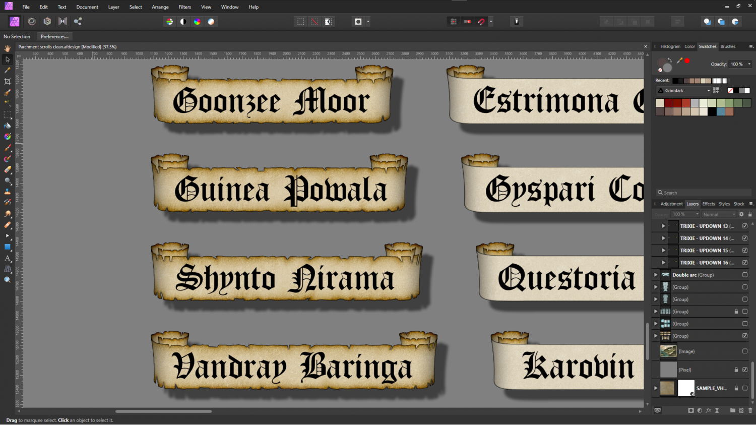
And already onto the scrolls. I did some titles, but I'm not happy with them yet. I think the labels came out better.


![[Deleted User]](https://secure.gravatar.com/avatar/c75d9a245b74d9c59be0999ea81ca541/?default=https%3A%2F%2Fvanillicon.com%2F92add7f8c954488718110edc4896ad39_200.png&rating=g&size=200)


-
[WIP] Community Atlas - River Watch - Druid villages
They're lovely Quenten :)
Just a side note here, but since you are using Scott's set of Celtic village symbols a tip you might consider for future is that if you set the resolution to fixed and Very High just before you render the images those little white lines in the roof shading will disappear. It's caused by the fact that the lower resolutions of the map image are antialiased when they are generated by CC3, so the line between 100% red and zero red is blurred where it needs to remain sharp. In effect that blurred line of pixels in the map file causes the shading to swing to the lit side and back again in one narrow stripe.
-
WIP - Floor 34 - Shadowrun map
There area couple of new videos that cover point lighting here:
Night and Day Time, by Remy Monsen:
and the Live Mapping session called "Lighted Dungeons", by Ralf Schemmann:
It is probably better to do a small practice map before you start on your main map, or at least save a copy as it is and then work on the lighting in a new version.

-
vintyri Collection
I only have a very old copy of Bogie's Mapping Objects (about 3 yrs old now), and it's no longer properly installed but just 'there' in my folders as a reference source for the oldest maps I ever drew. However, I do remember how incredibly tricky it was to install - even back then when the collections were smaller. You have to follow the instructions to the letter and make absolutely no mistakes whatsoever.
If you still can't get it to work properly I recommend contacting Vintyri directly using the email address they supply on their webpage.

-
map borders
I've used the flag a couple of times on spam posts. It gives you a dialog that you have to interact with to complete the job, so you can't really accidentally report anyone. Don't worry :)
