


Loopysue
Loopysue
About
- Username
- Loopysue
- Joined
- Visits
- 10,415
- Last Active
- Roles
- Member, ProFantasy
- Points
- 10,161
- Birthday
- June 29, 1966
- Location
- Dorset, England, UK
- Real Name
- Sue Daniel (aka 'Mouse')
- Rank
- Cartographer
- Badges
- 27
Latest Images


-
Grimdark Fantasy (renamed "Darklands") - development thread
Thank you! :)
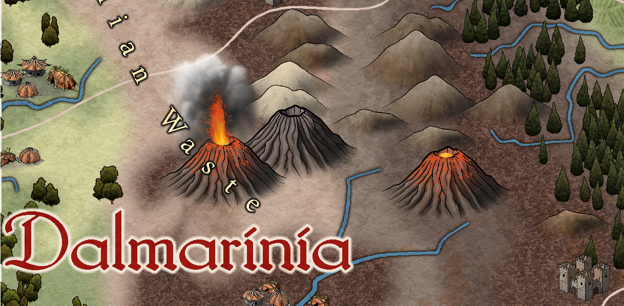
I think the elven houses are my favourite at the moment, though I did have a huge amount of fun with a slightly over-exuberant volcano this afternoon.
I quite like the idea of Brightlands.
Open to more suggestions...


-
Grimdark Fantasy (renamed "Darklands") - development thread
Thank you :)
LOL! Ok, ok.
So... what shall we call it?
Any ideas are welcome.

-
Community Atlas 500th Map Competition Results
I forgot to as well, so don't feel bad.
Thank you Jim :D
And congratulations to all the other prize-winners too :D


-
Community Atlas 500th Map Competition Results
Well done everyone, and congratulations to Autumn! :D


-
Grimdark Fantasy (renamed "Darklands") - development thread
That's good news to me, Medio, because there are 20 of each type. I did think that I was going a bit over the top with numbers, but I like there to be none that are obviously the same tree too close to each other.
And thank you - again :)

