Loopysue
Loopysue
About
- Username
- Loopysue
- Joined
- Visits
- 10,413
- Last Active
- Roles
- Member, ProFantasy
- Points
- 10,161
- Birthday
- June 29, 1966
- Location
- Dorset, England, UK
- Real Name
- Sue Daniel (aka 'Mouse')
- Rank
- Cartographer
- Badges
- 27
Latest Images


-
[WIP] - King's Shire - critique sought.
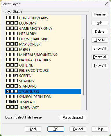
I showed all the sheets and hid all layers except the MAP BORDER on the Area Map and discovered there were 6 entities there. One was a screen. That's the white thing that goes around the outside of the map, and it belongs on the SCREEN layer, not the MAP BORDER.
I put it on the SCREEN layer, but that still left 5 entities on the MAP BORDER layer. However, these were all either lines or polygons with exactly the same extent, so I deleted all of them and replaced them with a single black hollow rectangle of exactly the same extent using the snap grid. It's possible that you may have accidentally copied pieces of the original MAP BORDER while you were working on the map. To prevent this happening I have frozen both those layers with everything in the right place.
Try exporting this version:
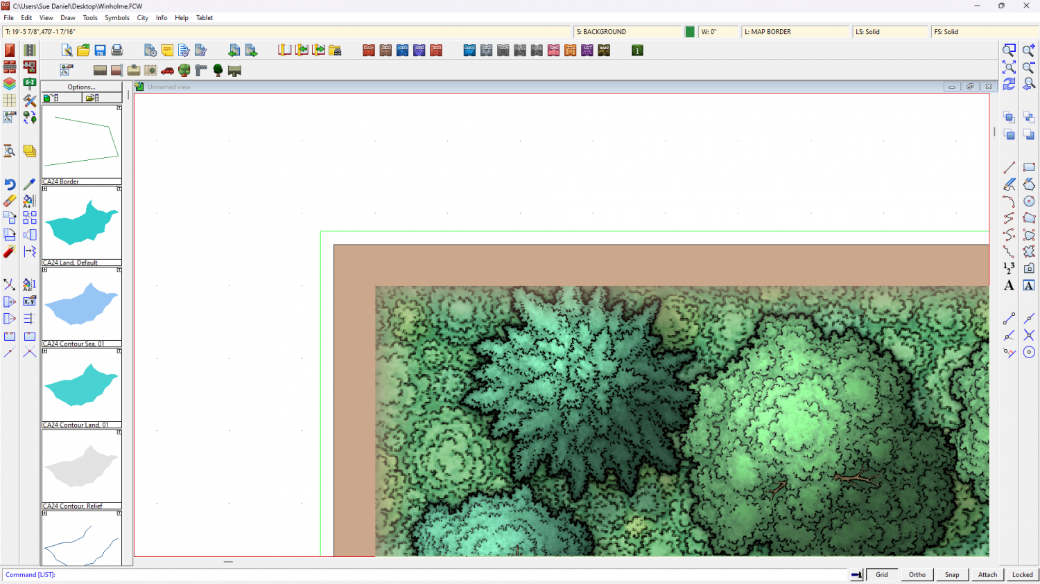
On the Winholme map I found the green lines demarking the MAP BORDER on the MAP BORDER layer were outside the extent for some reason. Not sure how that might have happened, but I have moved them back into place using the node edit tool with ATTACH turned on to snap them to the actual corners.
Try exporting this one:
-
Trouble understanding and accessing styles
CD3 Bitmap A Bogie is not an official Profantasy style. Its part of the Bogie's Mapping Objects installation and relies on you also having CD3 installed. From the screen shots you are showing us it seems you might not have CD3.
The answer to the second question is yes you can assign more catalogue files to each button in a map if you want to. Remy shows how to do it here.
If you want to examine the contents of any catalogue file you have open you can right click over the symbols pane to open it up across the window. Right click again to close that view.
-
When can I Fear the Easter Cities?
Did someone let the were-rabbit out again?


-
Darklands City Water Fill is pixelated
You're welcome :)
-
How long have you been using Campaign Cartographer?
I'm a relatively recent user compared to many. I bought the software back in 2016 with the intention of creating a map for my never finished novel. My first finished map was done in the Herwin Wielink overland style.
The novel is still not finished and probably never will be, but I now work for Profantasy - creating assets and providing community support. That's much more fun than writing ;)