Loopysue
Loopysue
About
- Username
- Loopysue
- Joined
- Visits
- 10,413
- Last Active
- Roles
- Member, ProFantasy
- Points
- 10,161
- Birthday
- June 29, 1966
- Location
- Dorset, England, UK
- Real Name
- Sue Daniel (aka 'Mouse')
- Rank
- Cartographer
- Badges
- 27
Latest Images


-
Too many Nodes
SIMPLIFY
Just be picky about the factor you use. A lot of those extra nodes will be so close as to not be really doing anything, though a world map can sometimes look better without all that filigree stuff around the edge ;)
![[Deleted User]](https://secure.gravatar.com/avatar/c75d9a245b74d9c59be0999ea81ca541/?default=https%3A%2F%2Fvanillicon.com%2F92add7f8c954488718110edc4896ad39_200.png&rating=g&size=200)
-
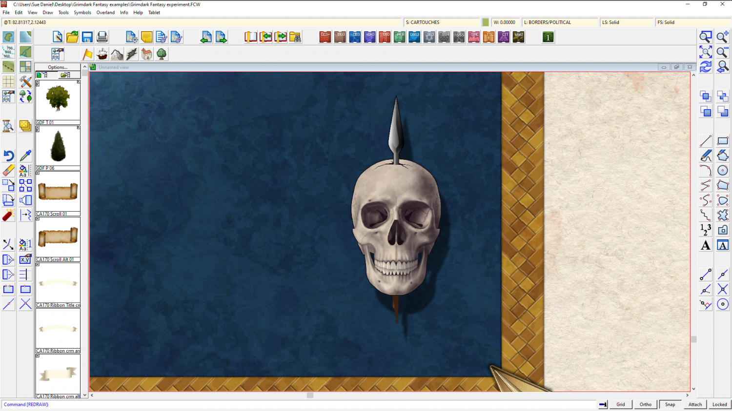
Grimdark Fantasy (renamed "Darklands") - development thread
Sometimes there are second parts for the same style, like there was for the Spectrum Overland style I did last year, but it is less common for there to be an overland/dungeon style pair.
There's a scale between those two things anyway - city scale. Going straight from Overland to Dungeon scale while completely missing out City scale doesn't make sense. And since doing 3 issues of 12 in exactly the same overall style would mean dedicating 1/4 of the entire annual to just one basic style (which not everyone will be interested in) this is very unlikely to happen.
However, if enough people show an interest in a grimdark dungeon style and can show me what this actually means... There was never really an actual style for Grimdark as far as I am aware, but only a sense of atmosphere... that could be something that might appear at some point in time.
...
I had an idea for a compass I thought you all might like


-
world map made using trace technique
Maybe some major roads between the major settlements.
A scale bar, and a title?

-
Issue with outlines after copy/pasting landmasses into larger map size
You're welcome :)
I can't say what caused that for certain, but on some overland templates some drawing tools line widths are controlled as a percentage of the width of the map. This is the first thing that would seem to be the likely cause.

-
A Command that Changes the Number of Passes when Rendering.
EXPORTSETMPPP
Try typing the same figure as you are given at the command line with an extra zero on the end of it, and hit Enter.