


mike robel
mike robel
About
- Username
- mike robel
- Joined
- Visits
- 4,196
- Last Active
- Roles
- Member
- Points
- 435
- Rank
- Surveyor
- Badges
- 6
Latest Images


Reactions
-
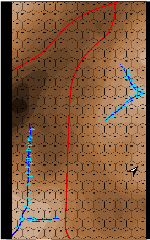
Cowpens Battlefield
This is my map of Cowpens battlefield. The battle was a near decisive action in the American Revolution, partially portrayed in the movie "Patriot". The victory here caused Cornwallis to retreat to Yorktown. It is interesting terrain, but not a lot of relief. Part of the brilliance of the American Commander was he defended from ground that resulted in the British shooting high because of they way they 'aimed' when they were shooting down hill.
I am interested in only a few battles during the 1700-1800s. Cowpens, Saratoga, Yorktown, Gettysburg (1st Day), and the Little Bighorn. I jump from ancients to Modern with those few stops.
Each Hex is 200 feet. (odd for me, usually I think in meters for this sort of thing.) The map will be about 12 inches by 18 inches when completed.
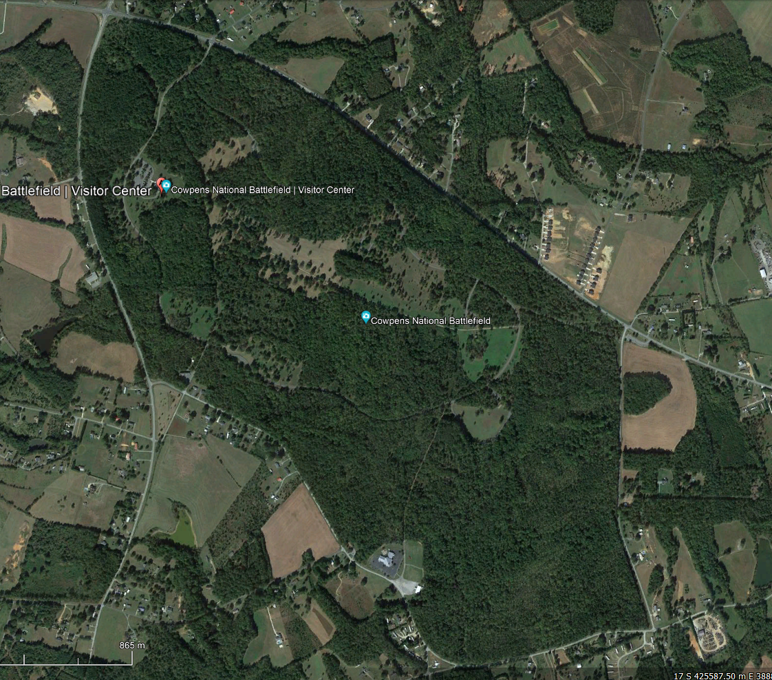
This is the battlefield today. There was not nearly as much forest.
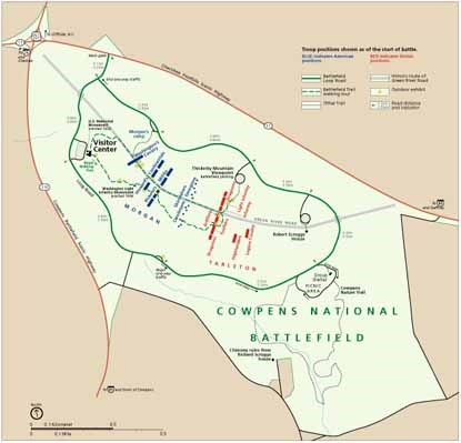
This is the battlefield layout. The US is on the left in Blue, the British are on the right in red, attacking generally from the South to the North. (Today in NATO and the "West" Blue is "Friendly" and Red is "Enemy". In a British World War II history I read, I was confused because the British were in Red and the Germans were Blue.).
The battle was fought in December. There apparently was some snow on the ground, but only a scattering of trees, which I have not put in yet. The question is, how to portray a 'dusting' of snow?
EDIT: I forget to mention, the terrain colors come from the 48 Shades of Brown Palette Andre made for me, as well as 48 Shades of Green, 32 shades of Green and Blue, and one that has 32 shades with 16 green and 16 brown that sort of blend into each other.


-
Little Bighorn Battlefield Map
Thanks, Sue. It was almost exactly as I imagined it from looking (and drawing) maps. !!!!
-
Little Bighorn Battlefield Map
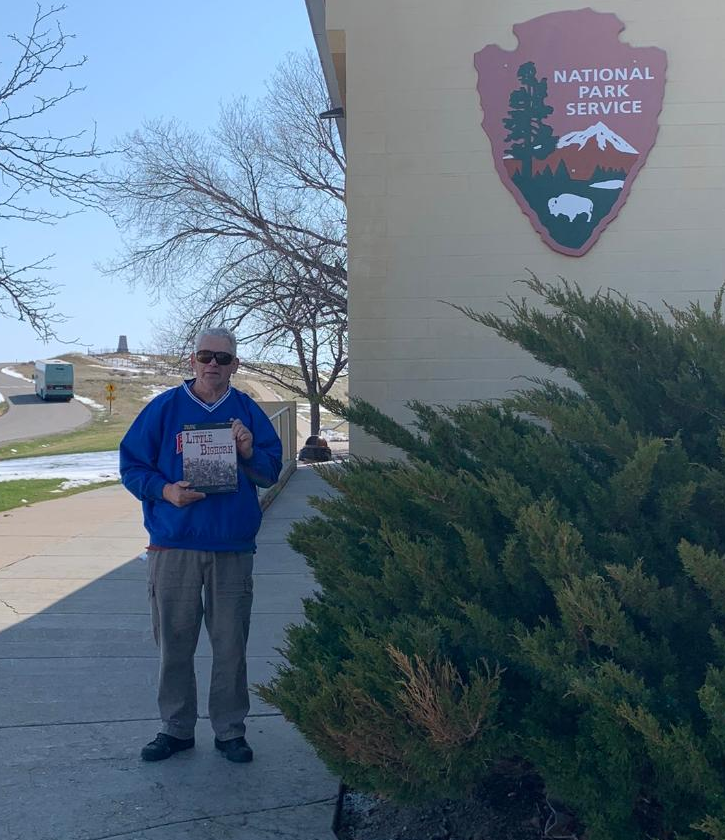
For various reasons, I flew to Seattle and was able to visit the Little Bighorn as I drove back. Weather and some other issues conspired against me so I only had two hours on the battlefield. Here is a photo of me at the visitor center with the Little Bighorn Game I like best.
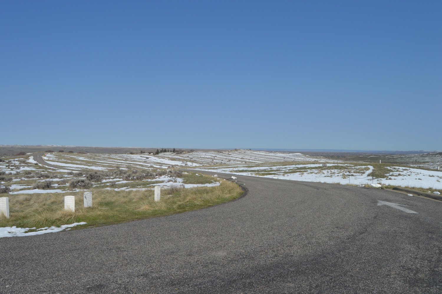
This view is from Calhoun Hill to Last Stand Hill in the distance. It's kind of hard to see, but it is sort of in the center of the picture and there is a small group of trees to its left where the current cemetery is.
The units were unable to support each other and so were all destroyed individually by the Sioux and Cheyenne.
This is the area where I took the photo. Calhoun Hill is South and I was standing on the highest point on the hill top.
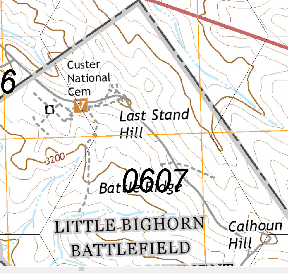
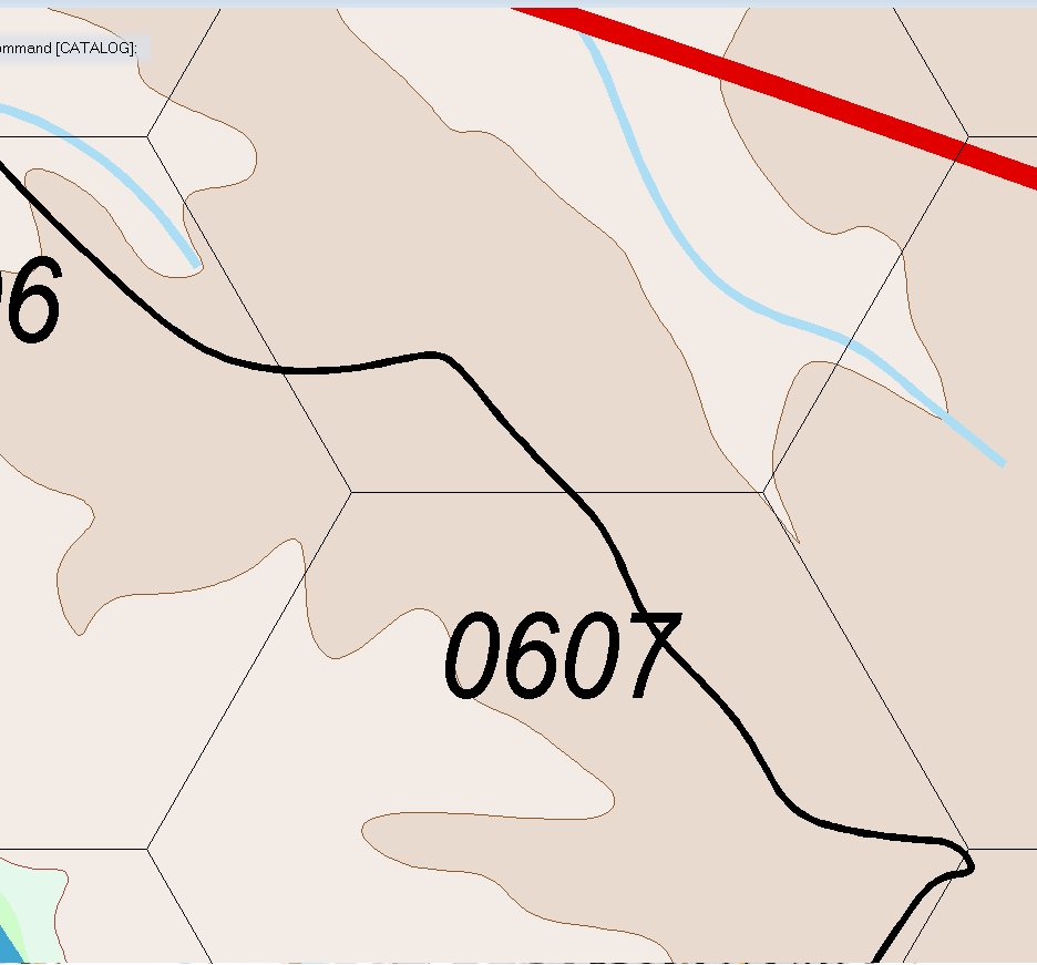
This is the map I drew in CC3 of the same area. Due to the contour interval I selected for the map (100m vice 20m), Calhoun Hill, the small hill where the 7 is, and Last Stand Hill are all obliberated. Drawing all the 20m mines would probably overtask the software given the size of the original map to say nothing of the number of nodes required.
I don't think I'll be going back. It's a long dang drive from Merritt Island to Billings, the most civilized city near the battlefield and back. Covid forced me to cancel my 5 - 7 day trip I had planned before. Sigh.

-
Cats & Maps
Cats are one of the banes of my existance.😡
They disrupt model building, fling my wargame pieces all over the place, and unlike children cannot bring me beer and pretzels.


-
Simulating a hand-drawn line
I think all my lines look hand drawn, since I failed lines, coloring, and penmanship way back when.
