


mike robel
mike robel
About
- Username
- mike robel
- Joined
- Visits
- 4,196
- Last Active
- Roles
- Member
- Points
- 435
- Rank
- Surveyor
- Badges
- 6
Latest Images


Reactions
-
CC3+ Going back to the basics-Overland.
I myself frequently use Brute Force and Ignorance (BFI) to get through my map making!


-
Fractal Terrain Mapping colour to altitude
That subcontinent reminds me somewhat of the aliens in the movie Independence Day.


-
WIP: BD-like - a process output extravaganza
@Lillhans Geeze. You are a genius. I have trouble enough just trying to duplicate topographical maps for wargames. It's a good thing contour lines are not straight or gentle curves, cause I can't draw straight lines without a ruler or graceful curves with a French curve, even assuming I don't slip. Exceptional and very artistic work.
I also wish I could punch Like, Awesome (a word which is overused today), and Insightful all in the same post.

-
Cats & Maps
Cats are one of the banes of my existance.😡
They disrupt model building, fling my wargame pieces all over the place, and unlike children cannot bring me beer and pretzels.


-
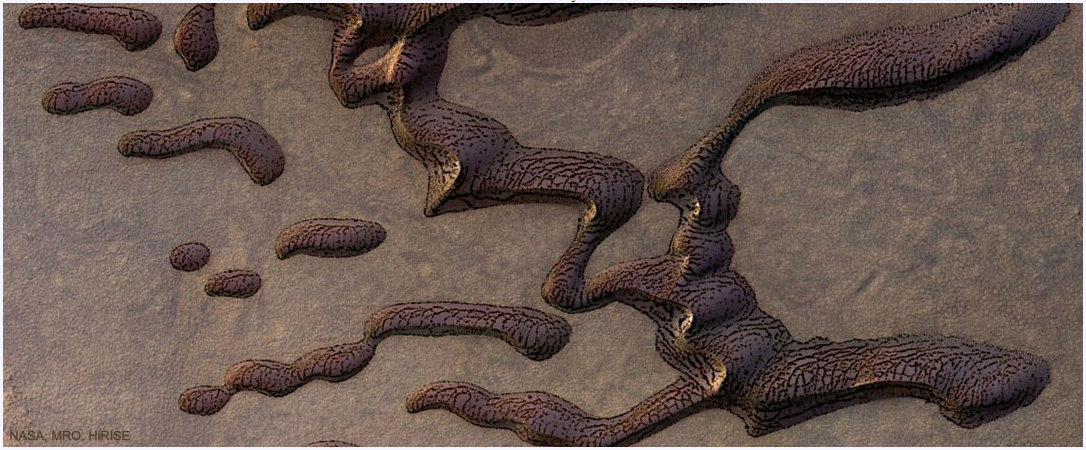
Martian sand dunes
-
New Humble Bundle
Thanks for you help Remy, Roflo1, and Sue.


-
Ok, weird question. Someone has asked me to buy one digital copy of one of my maps...
Well, you could call Kinkos and see how much they charge for the map.
I recently bought a custom map from mytopo.com of the Little Bighorn area that was about 4x5 feet with grid lines and elevation shadows for 29.95. Satellite photographs are more, around 100. A combination contour map was 79.95 and was nice to look at, but hard to read.
Incredibly to me, the. Company lets you download a full size PDF and save it so you can print it yourself. So does the national geologic service and their maps run 9-15 bucks.
For physical objects, there is an informal rule of thumb of three times the cost of materials
One has to think of the amount of time you put into it.
My daughter charges people by the square inch for paintings. 0.50 for her friends and 1.00 for others. Larger paintings can be more.
You can go to the wargame vault. They printout digital maps and you can see what they charge.
I find it difficult to price my games because volume is low and I am not well known.
Hope this helps.

-
Ok, weird question. Someone has asked me to buy one digital copy of one of my maps...
Digital copies can be downloaded and printed. If you have an PDF 8.5 x 11 inch map, you could print it out on larger paper and tell the printer to make it fit and low, it will be magnified, but not anymore detailed.
I see no reason not to sell a digital map if asked. It's sort of a compliment. I sell paper copies of the maps for some of the game scenarios I sell because it takes a lot of time to make them, but all the rest of the scenario information is digital and I just let them download it.
There are many print and play wargames where all the components are digital, so you can print them out as many times as you want. You just should not resell them and many are watermarked. Digital products I get from the https://www.wargamevault.com/product/98585/The-Warehouse are watermarked with my name and purchase date.
-
Game Maps
While this isn't really a show and tell topic, I think it belongs here more than the other categories. This is a blog entry on Boardgamegeek.com in which the author talks about the game maps he likes along with some details. Perhaps it can serve for inspiration. Many different styles and a few look like they may have been done with CC.
enjoy

-
Project Spectrum - Part 2
Looking at it I think it is either "VGER" from Star Trek The Motion Picture or the new mounting for the evil eye thing in Lord of the Rings after the volcano blew up and in the 5372 sequel, it was built by an evil sect of cartographers seeking to redesign the world.

