mike robel
mike robel
About
- Username
- mike robel
- Joined
- Visits
- 4,136
- Last Active
- Roles
- Member
- Points
- 435
- Rank
- Surveyor
- Badges
- 6
Reactions
-
New Oxtail - WIP
-
Topographical map of the Ice bed of Antarctica
That's a nice site Jim. Easier, but not so many features as the https://apps.nationalmap.gov/viewer/, but still good. I really like the ability to have the map fill the entire screen.
-
Topographical map of the Ice bed of Antarctica
Hmm. my edit for the correct link didn't work. Here is the correct one: https://opentopomap.org/#map=11/49.9991/9.8383
This should take you to the area near Gemunden, Germany where TF Baum had to leave its planned route to get to Hammelburg on account of a blown bridge.
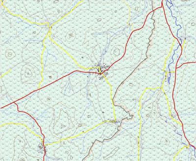
Another problem I see with importing terrain data, is all the other stuff is left out: roads, cities, bridges, vegetation and so on, so you have to figure out how to put all that onto the map.
Others on the map pointed me to Fractal Terrain which I couldn't get to work and I decided adding the above (augmenting the terrain data) was too difficult, especially trying to align the paper map with the digital data, it was just better to do it manually.
I also found 1:100000 maps to be lacking in detail and so have bought 1:50000 German maps (expensive) or 1:24000 maps (US) and do the tracing thing. USGS offers downloadable PDF maps, which can be stitched together, but the German maps are paper, so one has to scan them in order to manipulate them. Bothersome.
-
"The Most Accurate Flat Map of Earth"/"Astrophysicists Design World Map That Looks Like a Vinyl LP"
-
Fractal Terrain Mapping colour to altitude


