


mike robel
mike robel
About
- Username
- mike robel
- Joined
- Visits
- 4,136
- Last Active
- Roles
- Member
- Points
- 435
- Rank
- Surveyor
- Badges
- 6
Latest Images


Reactions
-
[wip] d&d Basic/Expert set of maps
Simple but very nicely done!

-
Map Construction
In so far as the grid, I use a hex grid. In this case, I want to have the 1km grid from the map to have 4 hexes inside it, so each one is 250m wide, as shown below. The sizing is arrived at by experimentation and the size is 0.65. The grid is actually a trapazoid and not a square/rectangle, but it is close enough for my work.

-
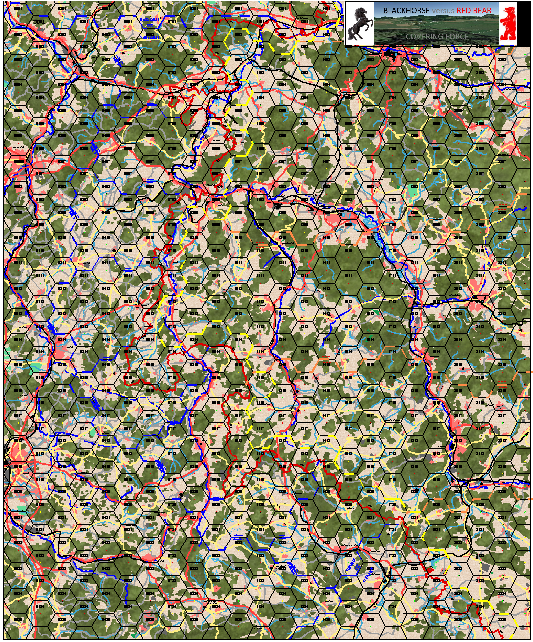
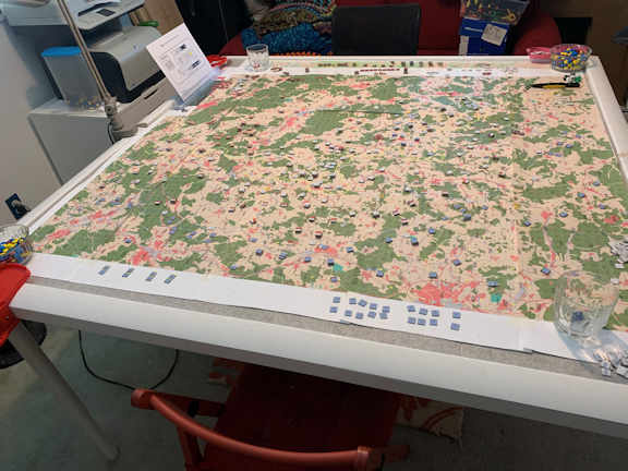
Game World Wall Map
I have maps I have developed for gaming which are almost 5 feet square.
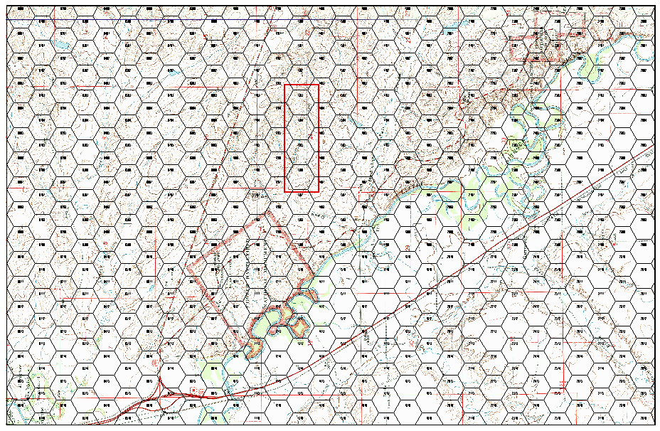
The Little Bighorn battle area. Each hex represents 1 kilometer
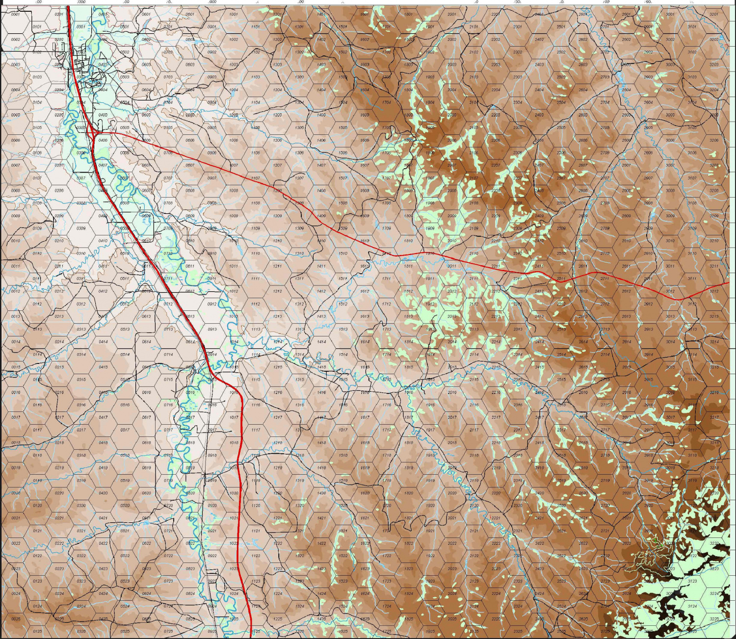
The 11th Armored Cavalry Regiment's Covering Force Zone in 1980. Each Hex represents 3 kilometers.


-
After CC3 prompts you to autosave, if you say Yes, does it wipe all Undo memory?
I'm pretty much with Jim: Filename_202103041646 which is the date and time of the phase. 2021 03 04 1646
-
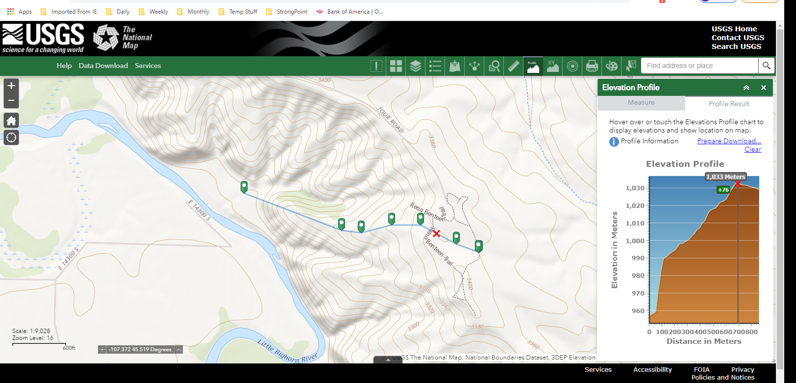
Elevation Lines on Small Maps
You can go here to the National Map https://apps.nationalmap.gov/viewer/ and select areas in the US and zoom in pretty far and you can display the contour lines. There are measureing tools so you can see how far a given path is and a profile tool so you can see the roughness of the terrain. However, the height is exaggerated so it looks like you are climbing mount everest, but it can give you a good idea of how things are in relative terms.
The closer together the contour lines, the steeper the slope. If they come together, or are very dense, or even end, with just one contour along a spot, then you have reached a cliff. Here's a screen shot which may help.
There are similar sites that provide information in other ways.

![[Deleted User]](https://secure.gravatar.com/avatar/c75d9a245b74d9c59be0999ea81ca541/?default=https%3A%2F%2Fvanillicon.com%2F92add7f8c954488718110edc4896ad39_200.png&rating=g&size=200)
