JackTheMapper
JackTheMapper
About
- Username
- JackTheMapper
- Joined
- Visits
- 137
- Last Active
- Roles
- Member
- Points
- 164
- Birthday
- July 18, 1975
- Location
- Tusket, Nova Scotia, Canada
- Website
- https://www.worldanvil.com/w/aralath-jsberry
- Real Name
- James Berry
- Rank
- Traveler
- Badges
- 2
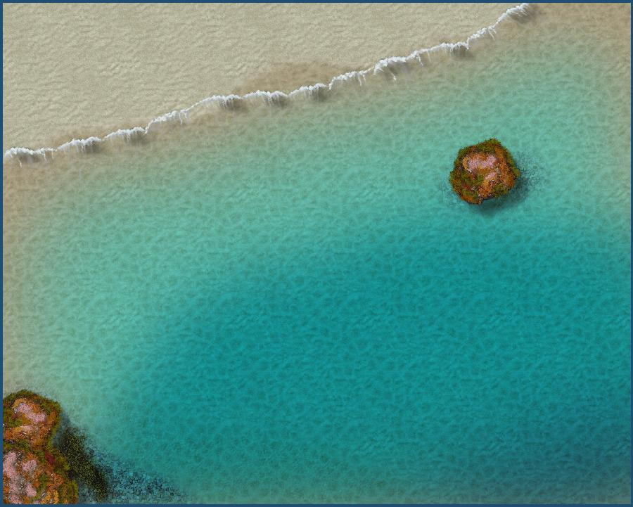
Latest Images
Reactions
-
More a request...
I love your temple. It's inspirational! I'd love to figure out how to make other floor inlays like the ones in Marine Dungeons 2.

-
More a request...
In a minute flat I traced out this very easy test using @Loopysue 's Marine Dungeons. Obviously I've done nothing with it yet!
But it got me to thinking...as a lifelong devotee of the sea, and living right on the coast, how about an annual overland style for undersea kingdoms? It could include colour depth similar to the Marine Dungeons, coral structure symbols, seafloor roads, kelp fields, submarine geysers and hot vents, ocean current markers as a kind of road (!), continental shelf, abyssal plains and hills, seamounts, a reverse "hill tool" which would show where an island emerges, being to marine peoples like a mountain whose top disappears into the air....
The applications range from Atlantis to Tristan and Isolde's Lost Land of Lyonesse, Heracleion, Kaskarra, and so much more. Easily expanded to include Marine Cities! Oh, in the holy names of Poseidon, Neptune, Agwe Towoyo, La Sirene Diamon, Manannan Mac Lir, Amphitrite, Njord and the magnificent Blibdoolpoolp, please, lets make this happen...


-
Creating greater depth
Thank God for change properties!
-
Creating greater depth
I plan on mimicking @Loopysue 's water in her Merelan map for that when I get to it. And that link is quite useful--probably more so for indoors where the sun doesn't need to be accounted for, but looking it over I'm getting a much better sense of it, so thank you so much!
-
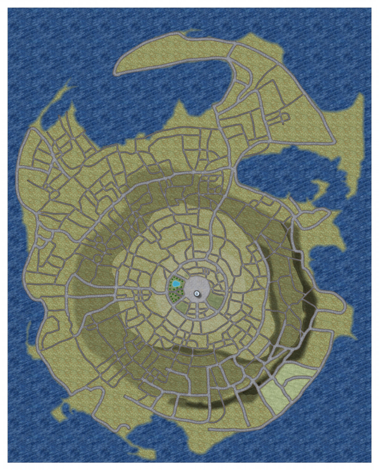
Creating greater depth
I've plotted out this city with an elaborate road network. The city is build on an island that is essentially one large hill that rises from the sea, at the top of which will be a site of great cultural importance. I've used colour and contour shadow to try and give a sense of the sloping topography, but am not quite satisfied with it, and would love some pointers on that.
So far I'm planning on moving shadowed roads under the contour shadow so they appear shaded, rather than shining in shadowed terrain, and tweaking the shapes of the contours and attendant shadows to be more consistent with the envisioned shape of the land. Also to modify the paths of roads to be more consistent with going down or uphill--the reason I added the roads first is that I'm building this off an old pen and paper map. Any other advice would be very much welcomed.