


mike robel
mike robel
About
- Username
- mike robel
- Joined
- Visits
- 4,196
- Last Active
- Roles
- Member
- Points
- 435
- Rank
- Surveyor
- Badges
- 6
Latest Images


Reactions
-
Winter Village style development (March 2022 CA issue)
Sue,
I'm just agog! I really like the night time one, but I understand the limitations. But what about cloudy/dreary effects. You know those days with slate gray, low-lying clouds, the sun unable to burn through the clouds. The wind falling not up to down, but north to south in 40 mile an hour winds, with 6 inch clumps of snow hitting you in the ear when you take off your helmet, making you lose your balance and falling off your tank into the deep carpet of snow, thus avoiding injury?
Some people see fun in the snow. All I see is misery (and Missouri [a state I dislike]) and foot slogging.


-
Project Spectrum - Part 2
They get green when they are full of water and then dry out, turning grayish green.
-
New Humble Bundle
Thanks for you help Remy, Roflo1, and Sue.

-
WIP: Now, for something completely different...
Well, even if it looks like the continent is moving, it's just continental drift, so no problem.
I see no problem with the land shapes, and as for Lava Rivers, why not?


-
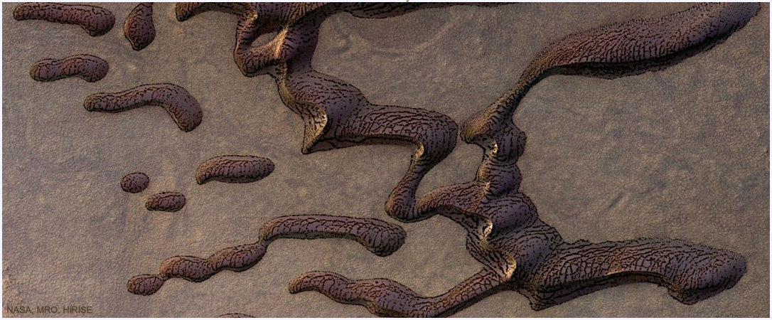
Martian sand dunes
-
WIP: New Map, New Issues...
I tried that once, but since I trace contour lines from a paper map I have scanned and loaded, I found that changing smooth to straight to smooth results in contours that are now distorted and much shorter. And I watched in horror as simplify not only shortened the routes but caused them to be disconnected from other roads.
As to using FT3 to read in real contours, in spite of some expert help, I was unable to do that reliable and then be able to align the contours with a real map. The issue there becomes being able to place roads, rivers, and other objects in the correct place.
I'm not saying it doesn't work as Sue describes, just that it doesn't seem to work for my application. BFI sometimes is the way to finish.
-
WIP: BD-like - a process output extravaganza
@Lillhans Geeze. You are a genius. I have trouble enough just trying to duplicate topographical maps for wargames. It's a good thing contour lines are not straight or gentle curves, cause I can't draw straight lines without a ruler or graceful curves with a French curve, even assuming I don't slip. Exceptional and very artistic work.
I also wish I could punch Like, Awesome (a word which is overused today), and Insightful all in the same post.

-
Fractal Terrain Mapping colour to altitude
That subcontinent reminds me somewhat of the aliens in the movie Independence Day.


-
Project Spectrum - Part 2
Looking at it I think it is either "VGER" from Star Trek The Motion Picture or the new mounting for the evil eye thing in Lord of the Rings after the volcano blew up and in the 5372 sequel, it was built by an evil sect of cartographers seeking to redesign the world.
-
Topographical map of the Ice bed of Antarctica
While there may be some way to get topographical data from those maps, I don't know where one would start or have any idea about how to do it..
That said, you apparently go to OpenMap.com/DE and get a bootable map that allows access to data. I'm away from my computer right now and will have to check the link and update it if I'm wrong.


