


mike robel
mike robel
About
- Username
- mike robel
- Joined
- Visits
- 4,196
- Last Active
- Roles
- Member
- Points
- 435
- Rank
- Surveyor
- Badges
- 6
Latest Images


Reactions
-
Panzer sample thread
Very nice work!

-
Simulating a hand-drawn line
I think all my lines look hand drawn, since I failed lines, coloring, and penmanship way back when.

-
Little Bighorn Battlefield Map
Thanks, Sue. It was almost exactly as I imagined it from looking (and drawing) maps. !!!!

-
Little Bighorn Battlefield Map
The last two photos.
Incidently, this is the first look at the game product anywhere.
-
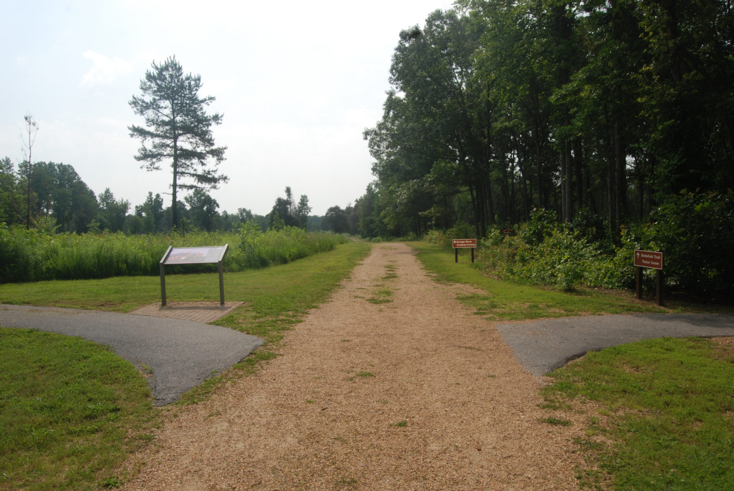
Cowpens Battlefield
If I was a talented artist, like my oldest daughter, I might try for a look like the photo with a mixture of snow and mud. But since I'm not, I'm just gong to leave it as is. The battlefield was not as forested as it is today and there was no underbrush having been set alight to reduce vermin and encourage pasture for cattle and any wood available within reach used for firewood.
The path is the walkway for the battlefield tour and is not the road that ran through the battlefield.
It was very open, so I will be putting in some trees and that will be that. This was a brilliant double envelopment of the British by the Americans, sometimes called the American Cannae.
I'm also talking with an archeologist who wrote two books on the battle and I've been there 3 or 4 times.
Here is a picture where the Continental Cavalry under Colonel Washington (a cousin of the General) engaged in a melee with Colonel Tarleton's Cavalry Legion probably around HEX 0719 in the map, near the small stream on the bottom left of the map.
-
Auto generate maps by standardized input files
I make contour maps for my wargames. It is a laborious process, but FT3, for a technically savvy person can use it to import real terrain files, then scale and cut and paste it into CC3. Not me. I can't even get it to import the terrain files - many of which are free. But there are people that can help you learn to do it. I find Brute Force and Ignorence [BFI (TM)] more useful to me.

-
a large city, I have been putting off, now started
Well Done Jim!
-
Four weeks later and here's my first map!
A fine start.

-
Here I go again ...
In case anyone is interested, and even if you are not, here are some shots of the US unit counters, their combat power values, and one of the status sheets player will use to keep track of their units. Note no values are on the counters to increase the fog of war, and you won't be able to tell how far gone the unit is from the counters during play.
Much is still in flux and development so there is not a 1:1 match between the three sheets. Units and values may vary.
-
Here I go again ...
With Monsen's help and repeated strikes to the frontal armor of the brain case with ego-piercing discarding sabot, I selected a forest bitmap file that pleased me and also gives something of the same look and feel of the Google Earth view of the battle area. Of course with the transparent effect, the forest looks more brown than green which could be remadied by changing them to green, which would lead to other issues.
On the other hand, in the game, the battle occurs in August, so maybe brown is okay.
I have not highlighted the contour lines with an edge color yet. That will probably be the last thing I do.
I am still simplifying the road and water nets and I amy thin out the small copses some and I need to continue to refine the mobility index dots in the hex centers.
Still, I'm pleased.
