


WeathermanSweden
WeathermanSweden
About
- Username
- WeathermanSweden
- Joined
- Visits
- 3,755
- Last Active
- Roles
- Member
- Points
- 459
- Location
- South of Lübeck in northern Germany
- Website
- https://www.astroinfo.se
- Real Name
- André Franke
- Rank
- Surveyor
- Badges
- 6
Latest Images
Reactions
-
One Day Worldbuilder FT3+ Find River Issue
I have been in contact with Joe Slayton, the developer of FT3(+) because of the same issue and he will have a look at this.
Meanwhile, as a workaround, save your file and load it into the old version of Fractal Terrains (FT3).


-
Edge Striping and Displace - combining both and the resulting effects
Here is the .fcw for the beach-islands...
It uses exact the same filter images as the pile with the water ripples...
++++++
@Ralf and @jslayton can somebody confirm that the effect
Texturizegives different result in the preview screen (while changing the parameters in the dialog box) and after pressing ok (confirming the parameters)? The first picture shows my preview on screen (using global sun) and when pressing ok I get the result as shown on the second picture...?


-
Topographical map of the Ice bed of Antarctica
...and with some shading effects...

-
Too early for a CC4 wishlist thread, or is it timely?
@jslayton named the command ROTATION
It would be great if in a future version the rotation of selected objects could be done e.g. around the center of each selected symbol as an option (and not only all symbols around a given point, which of course also is very useful.).

![[Deleted User]](https://secure.gravatar.com/avatar/c75d9a245b74d9c59be0999ea81ca541/?default=https%3A%2F%2Fvanillicon.com%2F92add7f8c954488718110edc4896ad39_200.png&rating=g&size=200)

-
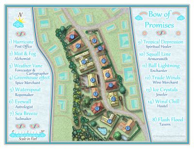
[WIP] Community Atlas - Topographical map of Nibirum with ocean currents
@mike robel You can read more about the 32/16 colour schemes here:
I use 16 colours for the sea and 32 for the land. I created special export sets for FT3 so that you can change the colours of your CC3+ maps as easy as in FT3. I use the colours 224-239 for the sea and 192-223 for the land - after inspiration of @Loopysue who introduced using colours at that range for height contours...
So you can get the Nibirium world even in classical CC2 colours (called for Basic in FT3):
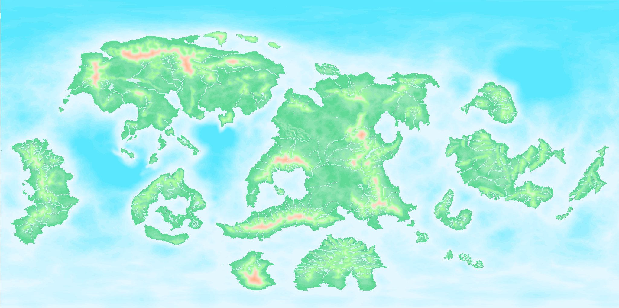
or even the classical FT3 default look:
...only by typing
PALLOAD filenameThank you to all the input from all here.
It will take some time - because many times you have to do even other things that have nothing to do with mapping at all...?
-
Topographical map of the Ice bed of Antarctica
...and if you zoom in enough...you will see him...")

-
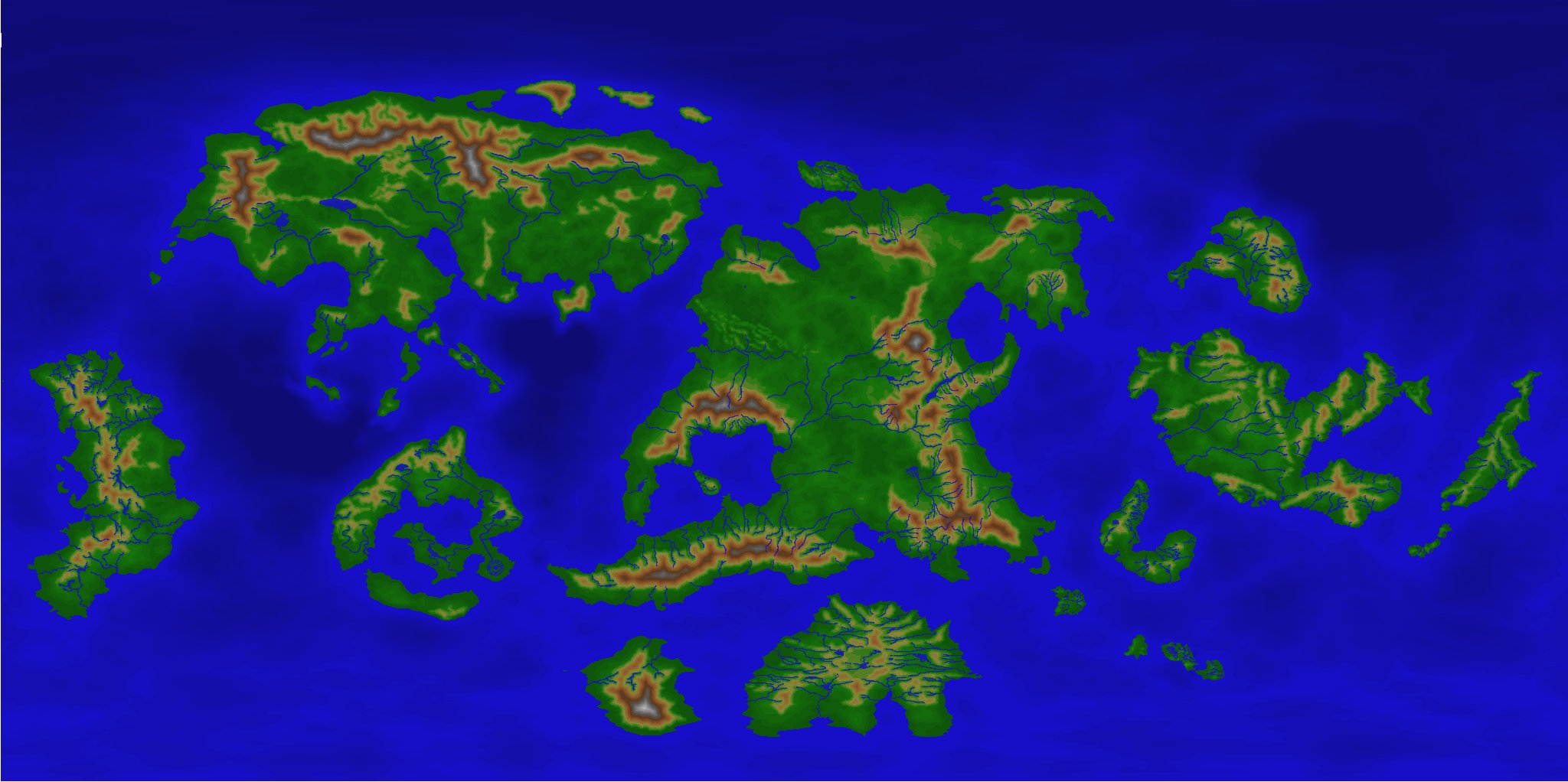
Export FT3 files as additional annuals?
The Realms of Legend uses its own color palette. You have to save the palette (PALSAVE) and have to load it into the new template you are creating for Realms of Legend by PALLOAD. In the export file for FT3+ you have to use the same color indices for contours - exactly those that are used in e.g. Realms of Legend.
I do not know if there is a simpler way - but this worked fine for me. I created (just for fun) a template och an export file for the annual style "Comic Overland" (issue 78 comic book maps). If somebody is interested I can post the files. They are just an outcast -things like sheets have to be cleaned up still...but I think the result looks almost as expected...
World in FT3+:
World in CC3+ with a newly created Comic Overland template:
Greetings,
André

-
How would you create a fantasy port/harbour rpg battlemap?
@Loopysue of course - the piles will get transparent, too - did not think about it...
(but you could add a new sheet with the shape of piles beneath the one with the actual pile symbols and add both effects (edge stripe & transparency) to the new sheet - or am I thinking to much out of the box and missing something... ?)
----
"but I wasn't sure exactly how edge stripe works - whether it uses the whole pattern or just the edge pixels."I have asked myself the same question a couple of times.
So - does somebody know how the striping effect works more exactly --- maybe @jslayton?
-
Topographical map of the Ice bed of Antarctica
So it looks like in FT3 at this stage: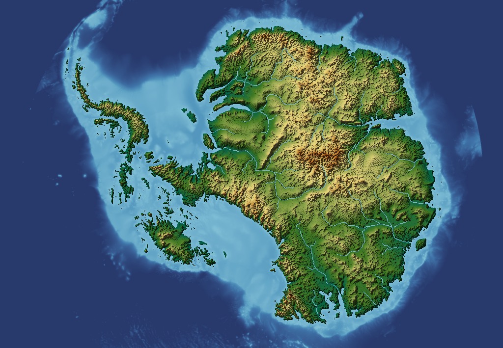
-
Combining Different SRTM Maps
My unzipped SRTM files have all the extension
.hgtso maybe the.bilfiles (that you have) are in another format?The files are about 2,75MB.
Here you can find 3" zipped SRTM's for almost the whole world. Just download a few, unpack them and try to load them in 3DEM.


