Prochaska
Prochaska
About
- Username
- Prochaska
- Joined
- Visits
- 105
- Last Active
- Roles
- Member
- Points
- 32
- Rank
- Traveler
- Badges
- 0
Latest Images
Reactions
-
From Quillan to Montsegur
Thank you two for the advice!
I will definitely try the polygons with the blur effect next time. I have tried varying the symbol size, but that didn't help me with long plateaus or other terrain that didn't fit the shape of a normal hill.

-
From Quillan to Montsegur
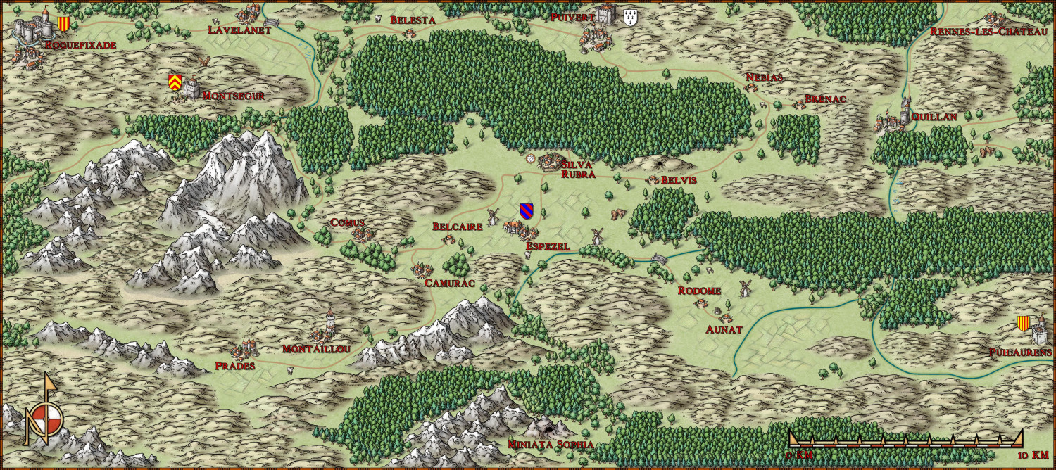
A few years after the first map for my Ars Magica saga, this map is the second one, a detailed view of the area around the village of Espezel, near which the covenant of the Mages is located.
The saga starts in or shortly after 1205, when there is still some years of peace and quiet ahead before the Albigensian Crusade starts. In the center is Silva Rubra, the players covenant (a place where a group of magi live together). Just to the north is the village Puivert with it's castle. In this castle resided Bernard de Congost at that time. In reality, he was a Cathar, and a famous gathering of troubadours was held in his castle. I do him some injustice in my story, and let him be devoted to the study of demonology. In the great forest south of the castle, the players will meet some fairies (no big surprises here). My version of the little village Espezel got a manor house, where Roger de Montaut lives, a vassal of Bernard. The latter is messing with the fairies in the forest for personal reasons. Way to the south, there is the covenant of Miniata Sophia, situated in a vast cave system. Another covenant of wizards, that close? Sounds like trouble. A little to the northwest, there is the village of Montaillou, where some of the last cathars in the region lived. The lavishly preserved inquisition files, compiled on behalf of Bishop Jacques Fournier, with all their details about the everyday history of a village were a stroke of luck for historians. People at that time judged it differently. Even further to the northwest is the inaccessible summit castle of Montsegur. Almost 40 years after the beginning of my saga, this fortress will fall after about 11 months of siege, and more than 200 Cathars will burn at the foot of the mountain. Roquefixade belongs to the estate of the belligerent Count of Foix. Raimund Roger was one of the most bitter enemies of the Crusaders. In 1215, at peace negotiations in Rome, he pounded the Pope that his only regret was not to have slain more Crusaders. In the opposite corner, on the top of a hill, there is the village of Rennes-les-Château. Made famous by a book about the Holy Grail and an invented secret society, a wide variety of treasures believed lost are sought here to this day. In vain, of course. Far to the south of the village is the castle of Puilaurens, belonging to the kingdom of Aragon. It's king, Pedro II., canonized by the Pope after his victory over the Moors at the Battle of Las Navas de Tolosa in 1212, will be slain by a crusader at the Battle of Muret in 1213 when he leads his army to the aid of the besieged city of Toulouse.
A question regarding the hills. I didn't want to use contour lines in the map, but only symbols; but now it is so that there are many higher plateaus in the region in reality, which I could then only represent by an enormous amount of hill symbols. I kept asking myself whether less might be better here.


![[Deleted User]](https://secure.gravatar.com/avatar/c75d9a245b74d9c59be0999ea81ca541/?default=https%3A%2F%2Fvanillicon.com%2F92add7f8c954488718110edc4896ad39_200.png&rating=g&size=200)


-
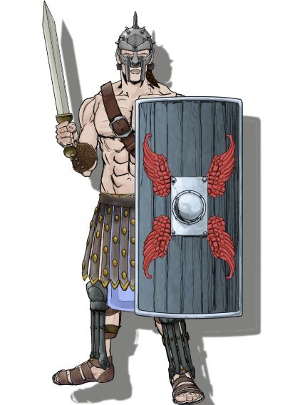
Annual 2023
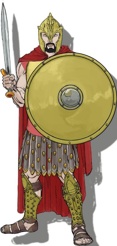
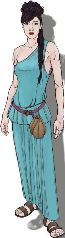
Instead of just liking Quenten's comment about CA3, here are my ideas about it: what I miss in CA3 are more variations for faces, and more clothes. Armor is already nicely varied, sometimes I miss details like a kettle helmet. For shields I miss a heater shield, preferably with some heraldic symbols to be added. Maybe a spear with a leaf tip (the existing one looks more like a hunting spear).
Or, to be quite daring, completely new sci-fi outfits like space suits and cyberpunk gear.


-
Abbey Sainte-Marie de Fontfroide
Updated version of the map:
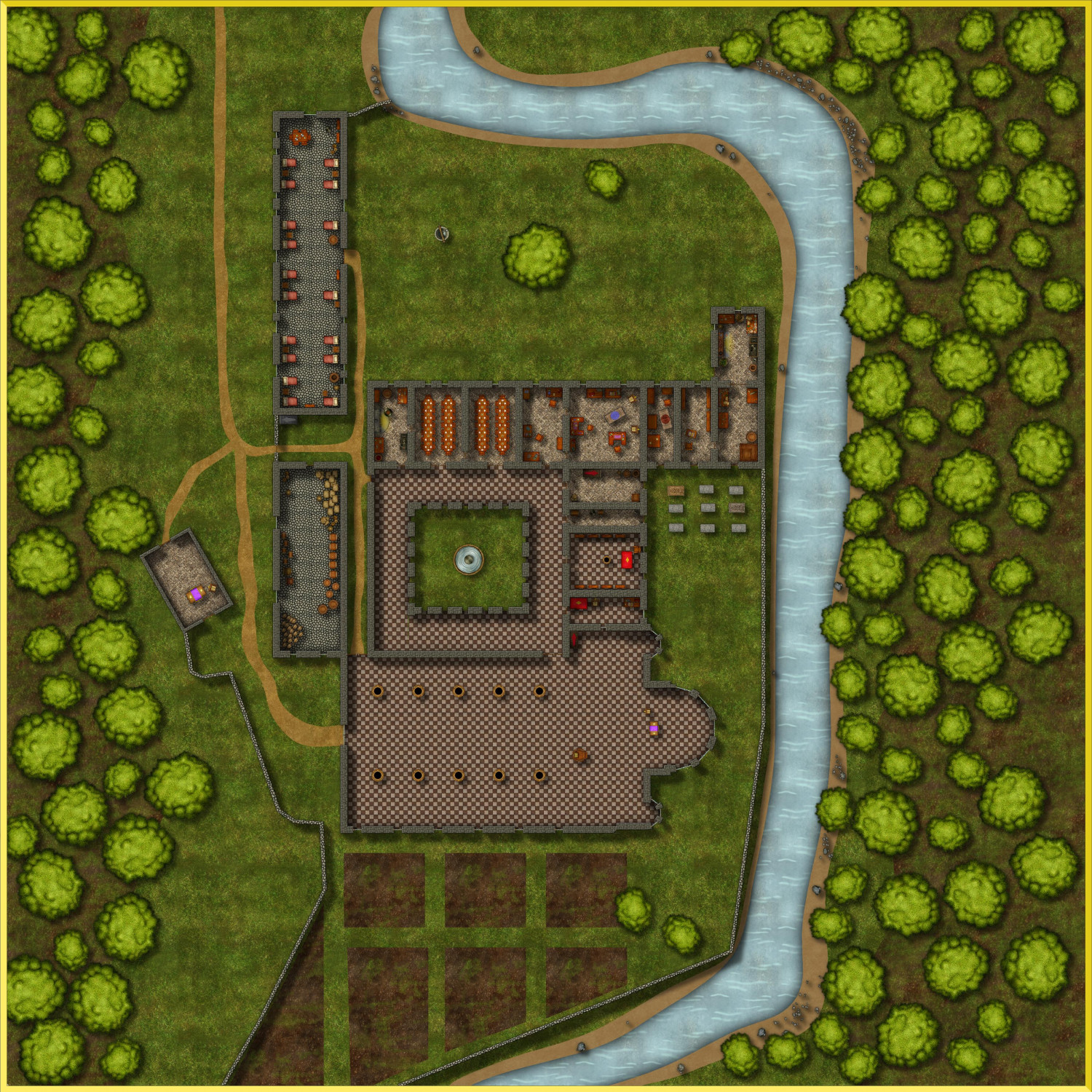
The more prestigious areas of the monastery - the cloister, sacristy and chapter house - now have more decorative flooring than the other areas; the pantry and the lay brothers' dormitory have simple cobble stones. The floor textures are enlarged, and the right side of the creek is now wooded as well.
Does anyone recognize what drawing style the trees I used came from? I had to copy/paste the trees on the right side because I couldn't find the template again.
-
Abbey Sainte-Marie de Fontfroide
I drew this map of the Fontfroide Abbey, a Cistercian monastery near Narbonne. It is my interpretation of the buildings in the year 1200. The map is intended for my version of the old introductory adventure "Promises, promises" for the 4th edition Ars Magica. Here the characters will meet the abbot Pierre de Castelnau, one of the antagonists of the first years of the saga. Pierre has a kind of office in the narrow room on the far left north of the cemetery. A more positive acquaintance will be the Infirmarius Arnald, whose herbarium is located in the annex to the northeast, right next to the stream.
Creating the church at the south end, there was one problem I could not solve. I followed the instructions in the Tome about complex rooms in DD3, combining all the paths and the using the path to poly command. The whole outline was 1 entity afterwards, but when setting the fill style, only the right side was filled with the bitmap floor style, the right side stayed an empty box. I worked around that problem by creating a new rectangular room and deleting the wall between the two halfs of the church, which left that step between the two parts.