

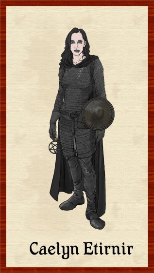
Autumn Getty
Autumn Getty
About
- Username
- Autumn Getty
- Joined
- Visits
- 351
- Last Active
- Roles
- Member
- Points
- 342
- Rank
- Surveyor
- Badges
- 5
Latest Images
Reactions
-
Sinister Sewers - Style Development Thread (CA207)
The Carthaginians had flushing toilets as well, but obviously later than the Minoans. I didn't know the Minoans had it too.

-
Contoursm not working for me anymore
Hey folks, I wondered if there had been a change with how the contoursm command works? I've looked through the forum and blogs and can't seem to find anything.
For reference, I usually make a black and white export from Fractal Terrains and then insert it onto a trace sheet I make. Then I use the instructions at https://rpgmaps.profantasy.com/leveraging-the-new-features-of-cc3-update-16/ . This has always worked for me in the past. To check if there was something wrong in the image, I used an image I had used before in this way, and although it seems to do something, I can't see any coastlines.
Thanks.

-
Three novice questions
Hey, if you're looking for how to print something so that you can use miniatures with it, I found this handy guide on Reddit that works well, but also drives home how impractical it would be to do it for a lot of stuff. It involves exporting the map into a jpg (200 - 300 dpi), and then converting it into a pdf which you print out. The instructions are here: https://www.reddit.com/r/dndnext/comments/ecvbu3/how_to_print_battle_maps_at_home/.
-
Seeking advice re world map and civilization placement
I'd say a couple of things.
First, on mountain placement, I'd make narrower ranges. Mountain systems are generally no wider than 2000 km, though that means several actual ranges. Examples include the western United States and the Himalayas. You'll notice in both cases that there are ranges, plateau lands, and then more ranges. Another interesting example is South America, where the mountains are made up of three parallel ranges in some places, though the overall system is much narrower.
If you have access to it, the One-Day Wordbuilder from 2020's annual is a great way of dealing with mountain issues.
Second, I agree with Julian for the most part about civilization placement. On our world, the first civilizations all came about in the 30 - 35 degrees north range, and that had a lot to do with the recession of the ice age and the development of farming. Another thing to note is that contrary to what some folks think (and have published), cultures tend to arise in areas where there are different resources being exploited. This is because those areas become important nodes on pre-existing trade routes and tend to build up large populations. The result of this is you will often see "civilizations" (in anthropology we call them "complex civilizations") developing in areas with large variation in elevation. This is because different elevations create different micro-climates where different different resources can develop.
There's all sorts of exceptions, of course. For instance, the peoples of the Canadian west coast are now considered to have been a complex civilization, and their above the 49th parallel. Another intriguing example is central Europe, which seems to have been pretty well developed pretty early as well. Both of these examples involve the height variation I mentioned, along with very temperate weather at sea level.
Anyway, glad to use the archaeology education for something :).


-
Help needed to convert flat world maps to "GURPS Space" icosahedron format
Am I misunderstanding something here? I am able to export from FT3 by going File/Export World/ Icosahedral Image. I've done a couple before, and here is one of them, with gridlines:

You'd have to add hexes manually, I suppose. Not sure how you would do that, but I'm thinking you could pull it off in a photo editor or you could just have the output as a layer in cc3.
