


Wyvern
Wyvern
About
- Username
- Wyvern
- Joined
- Visits
- 3,266
- Last Active
- Roles
- Member
- Points
- 5,585
- Rank
- Cartographer
- Badges
- 24
Latest Images


-
[WIP] Community Atlas: Snakeden Swamp, Lizard Isle, Alarius - Dedicated to JimP
Sometimes, the Forum throws weird notices at you while you're doing other things. That can be because you've been sent a new message by someone, or somebody's just posted in one of your topics, or someone's added a new post to the topic you were typing your notes into, for instance. Here, I just posted the above, and suddenly it announced I had achieved the rank of "Cartographer".
Now, these labels are just for a bit of fun on the Forum here, of course. However, it seemed very apt that this should have happened by chance while I was adding to this topic, because our departed dear friend JimP was also of that rank. It just made stop, think and remember again for a moment. Which was also part of the purpose in my doing these maps in the way I am.


-
[WIP] Community Atlas: Snakeden Swamp, Lizard Isle, Alarius - Dedicated to JimP
Next bit!
I'd already had to adjust the symbol sizes to be sufficiently visible on the map for the base design, as the default setting had proven much too small and hard to see. When I started adding the feature elements, those felt still a little too small even using that adjustment:
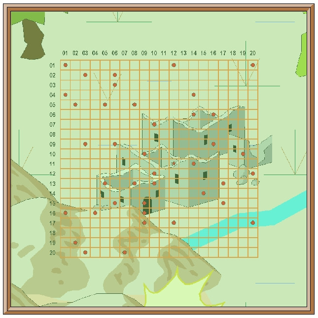
So I tried this higher-res test - this and the subsequent images are all at the standard, larger, Forum size-resolution, here concentrating on just that key central map portion:
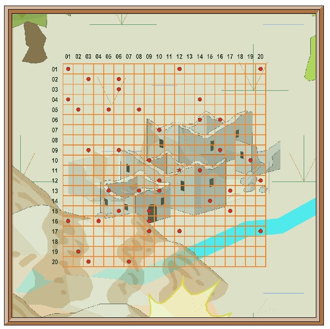
The new symbols indeed look awfully small here as well, so were quickly changed to larger sizes, although that in turn meant some further adjustments in positioning to retain clarity, and sometimes even swapping-out the symbols for alternatives, a process that was likely to continue for the rest of the mapping (which I find to be a very common occurrence). The central area with resized symbols:
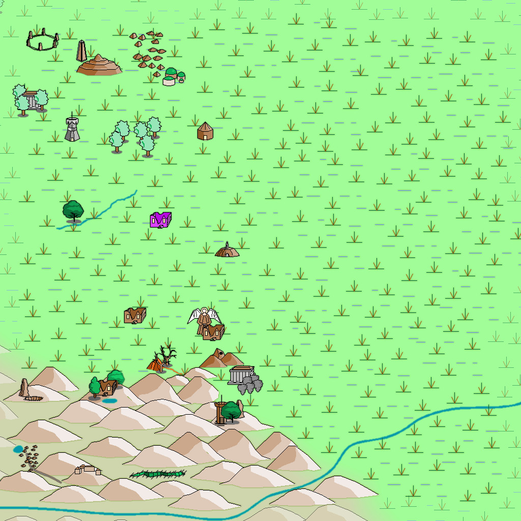
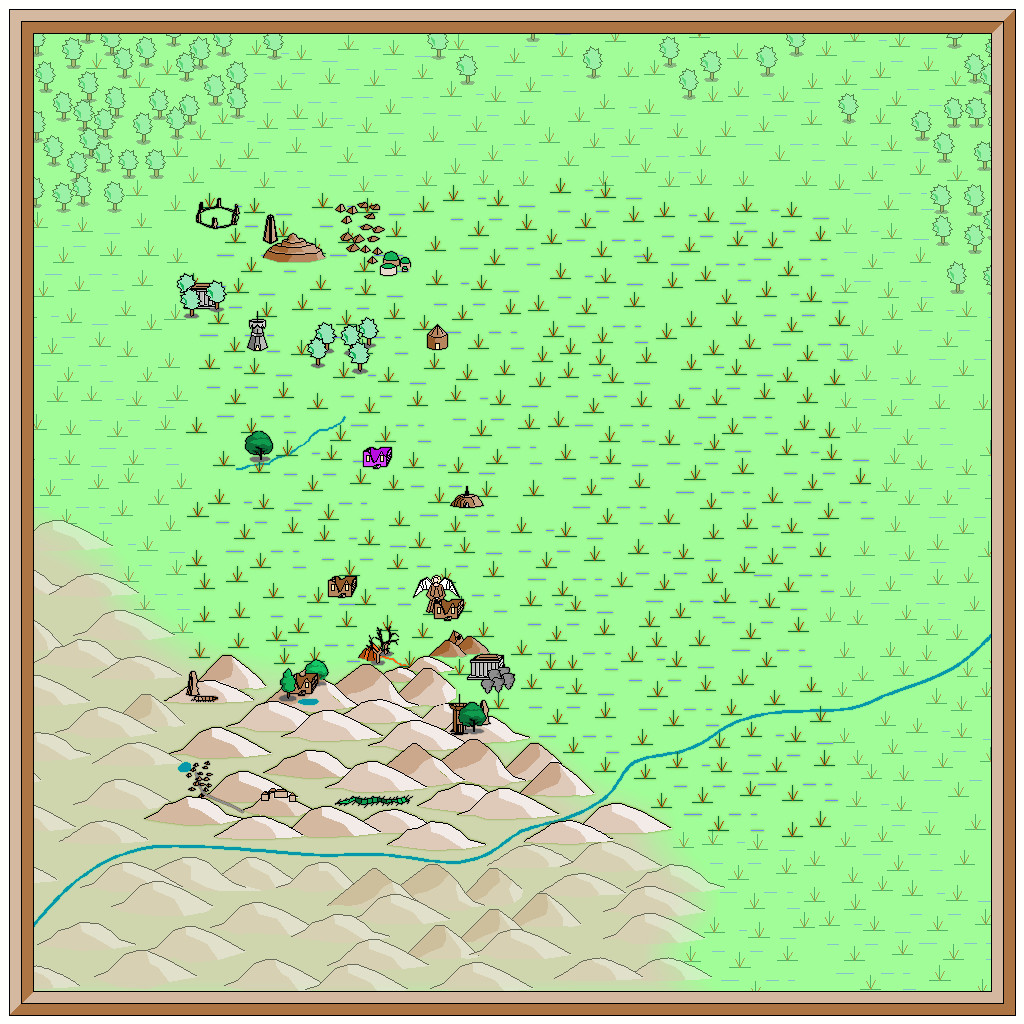
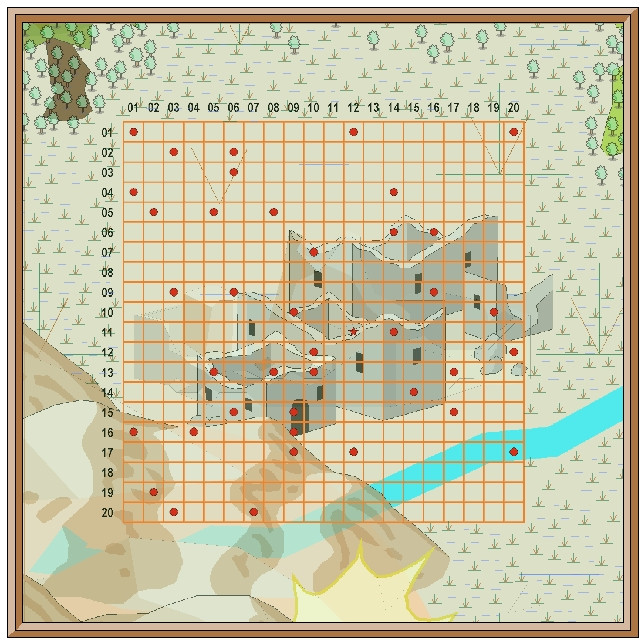
Followed by a shot of the whole-map view:
At about this stage, although it seems I didn't preserve any of the screenshots I took during it, I tried adding some of the Character Artist vector monster symbols, to show what creatures might be found where in some of these locations. While that seemed worth an experiment, as the general drawing style is comparable with the other symbols in the Filled set, there's a little too much detail on the CA creature drawings to work at a suitably rescaled size here, so ultimately that idea was dropped, which is probably why I overwrote the images showing the attempt. Hey ho!
Finally for today, we have the map with all the inner-zone features added, albeit these are still little more than place-markers at this stage, before a range of adjustments takes place to settle them in better with one another, and so that aspects such as the stream-lines make better sense with those in the larger region, etc.
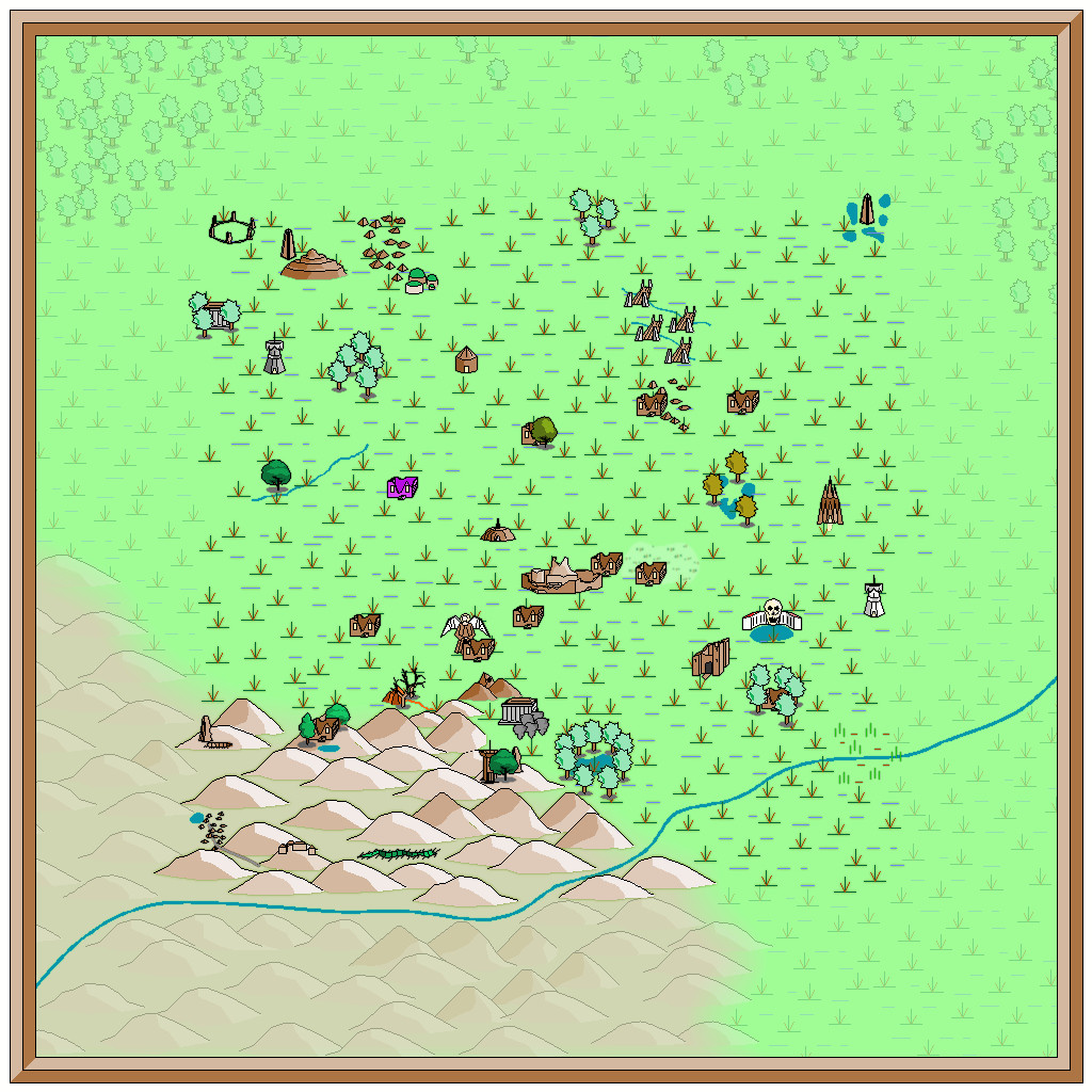
Edging a bit closer to a finished map, at least!


-
[WIP] Community Atlas: Snakeden Swamp, Lizard Isle, Alarius - Dedicated to JimP
So, back for an update today!
Opening the New Drawing Wizard, and naturally picking the CCPro Overland style, I set-up a 30 by 30 mile square area (to give room around the base 20-mile-square mapped region for a title, possibly some labels, and suchlike), and changed the background colour from its default sea-blue to green, to fit the landlocked swamp I had in mind. Then I went to set-up a new BITMAP sheet and layer to import the base map image into, and was surprised to find there was more than just a single sheet available (which was what I'd expected), and that some of those sheets already had effects on them. I'd been assuming I'd be working without sheet effects (beyond a transparency on the BITMAP sheet, at least). This though opened up some fresh possibilities, as one concern I'd had was that a lot of the early vector symbols and fills use zero-width lines, which tend to vanish when extracting higher-res images. Being able to add elements like glows could help them stand out better, so this was going to be a somewhat more sophisticated map than I'd anticipated!
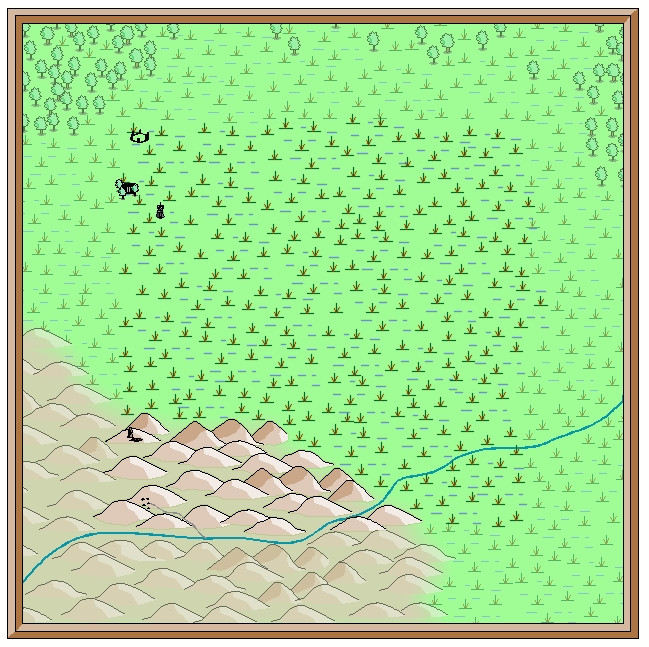
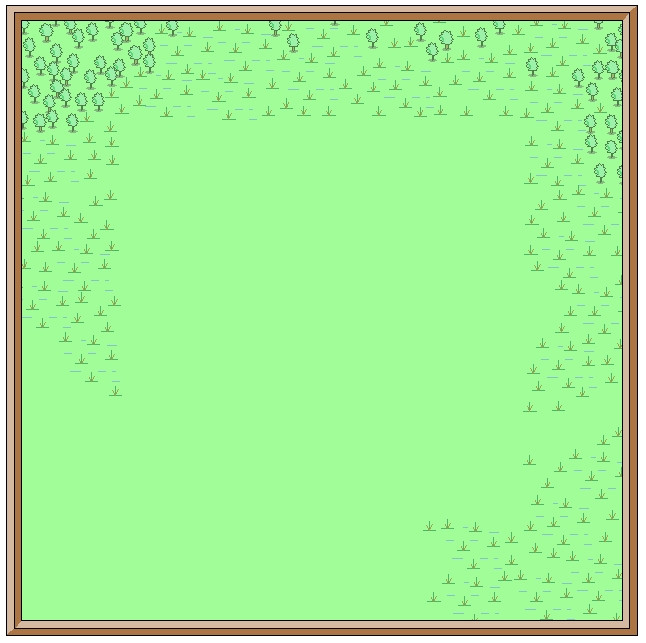
This is the opening scene with just the imported bitmap image in the map (I'm keeping these opening images deliberately under-sized for the Forum, as there's fairly little detail on them):
And this is it with the transparency effect on:
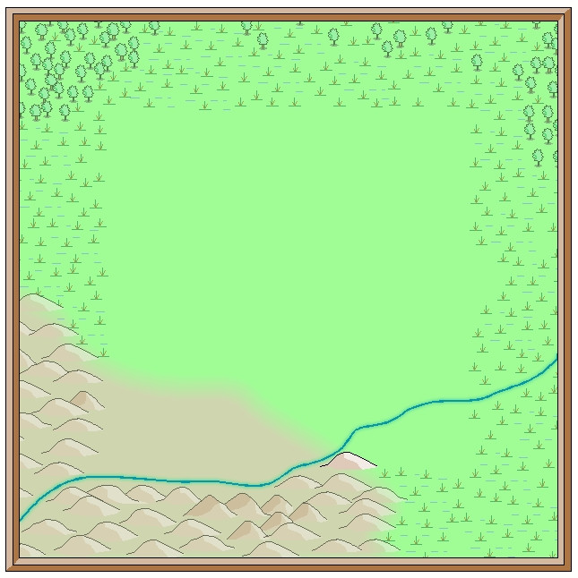
Next, I started sketching-in some base terrain elements beyond the centrally-mapped area, using only symbols, to have more control over their sizes. Here, I'm working with the BITMAP sheet's transparency turned off:
This is the appearance without the bitmap image entirely:
One advantage of this vector mapping style is that you can add effects such as transparency to the symbols sheets, and see - as here - that the symbols fade out a little, which is what I wanted to do for the area beyond the mapped zone, showing the terrain there still, yet without so much detail. There's no need for technicalities like the forced redraw command that would be needed for raster symbols, though these were all set-up on their own new sheet, of course. The symbols, incidentally, were all from the extensive "Filled" vector set available under the CC3+ overland style, which was the default set available on opening the new map.
The next snapshot shows this whole border zone completed, with the hills and river added, as well as a background colour showing the full extent of the hills into the central region as well:
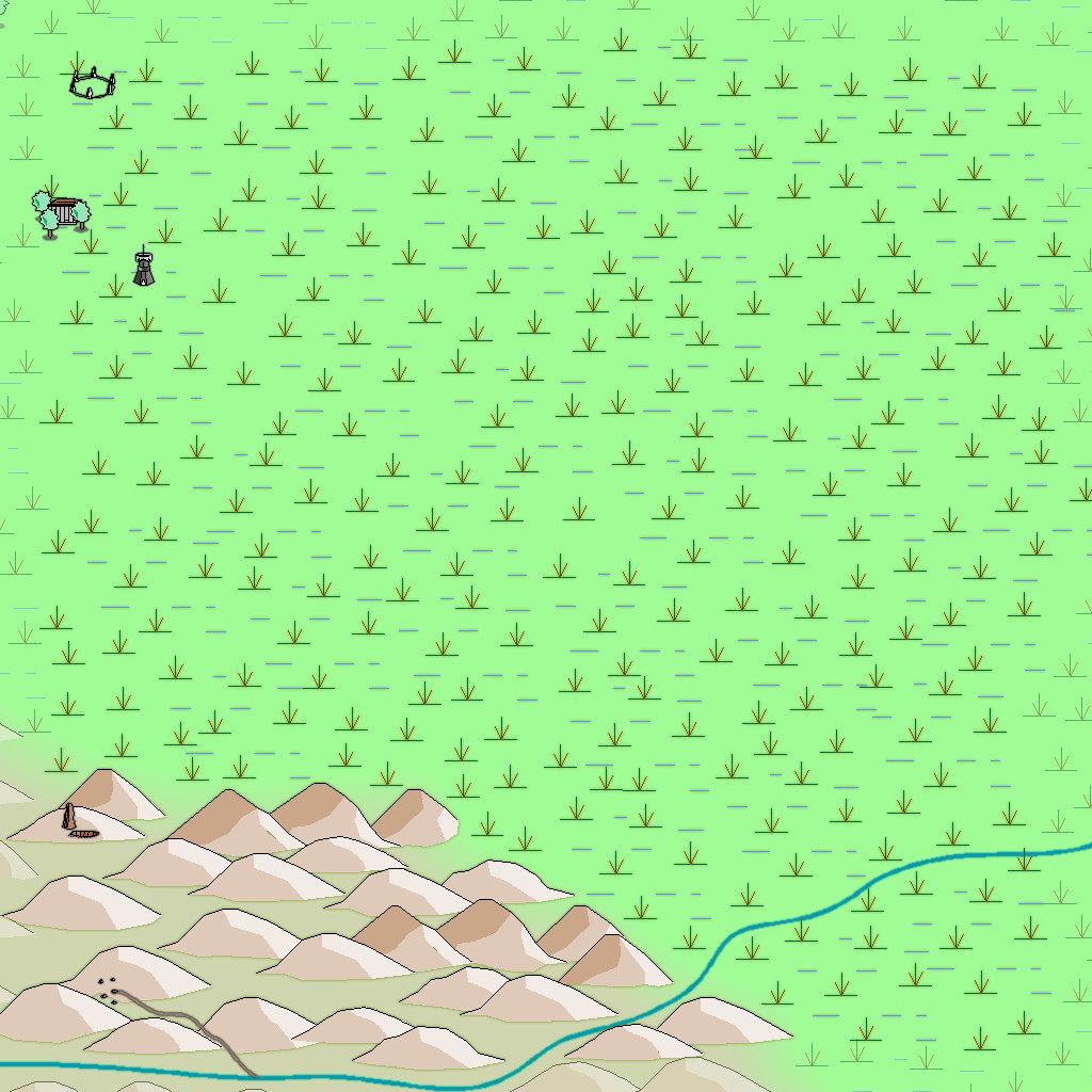
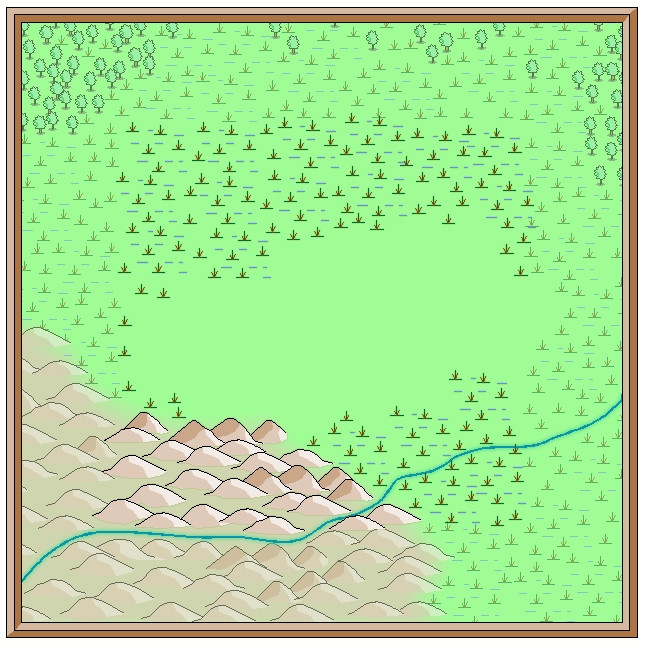
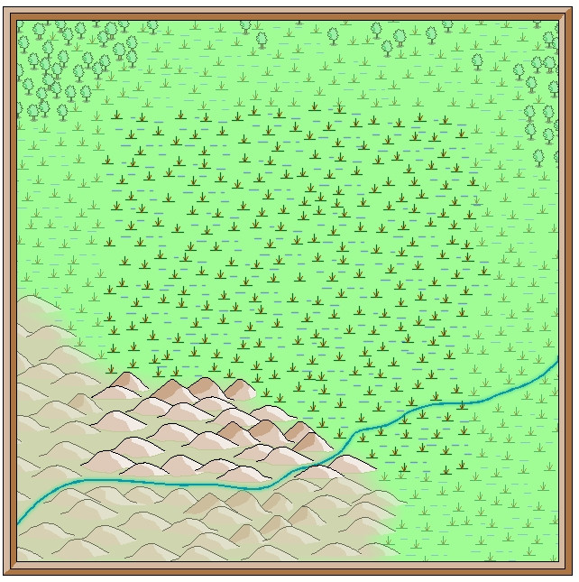
I amended the edge fade on the terrain sheet to retain the softer transition at the edge of the hilly area. The perceptive may notice too that one hill seems a little less transparent than the others, as that one's now on the main symbols sheet, that has no transparency effect on it. That difference is a little more obvious as the central area gradually fills-in fully:
With that completed, deciding what symbols would be suitable to highlight the features on the fully-mapped area could begin - next time!

-
Community Atlas 1000th Map Competition - The Winners
Well done, Monsen!
And again, many congratulations to everyone for sailing us well past the 1,000 Atlas maps now!
-
First Map Using CC3+
@Frosty: I don't think there's much available as a base map beyond what's been officially released by TSR/WotC down the decades, unfortunately, for the north of Faerun. I know when I was working on my map (ye gods - seven years plus ago!), I struggled to find anything useful for features among the ice, and most of that was from the earlier Forgotten Realms books from the 1980s. There's a little more for the near-coast region now (Ten Towns region and surrounds), at least. That does mean that much like jacolantern, you can go ahead and add/invent whatever you wish though.

