


WeathermanSweden
WeathermanSweden
About
- Username
- WeathermanSweden
- Joined
- Visits
- 3,737
- Last Active
- Roles
- Member
- Points
- 459
- Location
- South of Lübeck in northern Germany
- Website
- https://www.astroinfo.se
- Real Name
- André Franke
- Rank
- Surveyor
- Badges
- 6
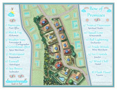
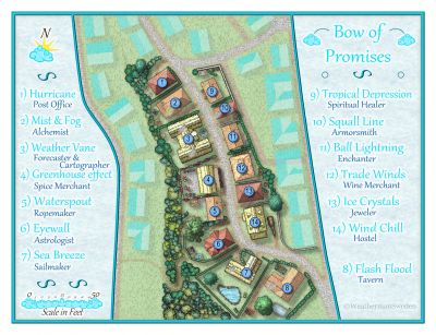
Latest Images
Reactions
-
Practical use of the new Fractal Terrains Profantasy Normal Map in Campaign Cartographer?
But @jslayton would it not be a good idea if the whole normal map could be used as a layer and or effect - when imported to CC3+ to use it for shading of the whole map (a flat atlas map, not shaded exported from FT3) to shade the map inside CC3+ using the global sun direction (without having to create single shaded mountain symbols)?
I think @Loopysue has experimented with shaded mountains symbols using normal maps earlier. I have also given it a try for some time ago to create some shaded volcano islands. If I remember correctly we both encountered some problems at the symbol edges with the transition from the symbol to the background due to transparency issues.

-
FT3: creating binary world from Wilbur surface MDR is rotated 90 degrees and mirrored
You have to flip your map vertically before exporting the MDR from Wilbur. Then it should be correct in FT3 when importing it.
This is due to a known issue in FT3 (as far as I know)...
Greetings,
André
-
Combining Different SRTM Maps
My unzipped SRTM files have all the extension
.hgtso maybe the.bilfiles (that you have) are in another format?The files are about 2,75MB.
Here you can find 3" zipped SRTM's for almost the whole world. Just download a few, unpack them and try to load them in 3DEM.

-
Combining Different SRTM Maps
Maybe @jslayton can answer this question in case there is a possibility to import more than one SRTM file into FT3 directly.
Just in case if there isn't a direct way, here is my approach...
There are surely plenty of programs out there that could shorten the process but most of them are quite expensive.
My goal was to use only programs that are free.
There is on the one hand WILBUR by Joe Slayton the creator of FT3. And he recommends on the other hand the pc software 3DEM on his website.
3DEM is a tiny but powerful tool that can combine e.g. SRTM's. The program has been abandoned and can be a little bit tricky to find - but a search on the internet still gives one or two places where you can download it.
The process in short:
Start 3DEM and choose SRTM data (second option). The dialog box opens when starting the program or can be found under File->Load Terrain Model.
Select all files that you wish to combine.
In 3DEM choose File->Save USGS ASCII DEM and save your data.
Start Wilbur and load the file: File->Open and choose USGS DEM Surface (*.dem)
The bridge between Fractal Terrains and Wilbur is the so called file format “.mdr”
There is a slight issue when exporting the file because when importing it to FT3 it will face up-side-down. To correct this we will flip the map in Wilbur before saving it.
Surface->Rotate->Flip Vertically
Now we can save the map: File->Save As MDR Surface (*.mdr) and save the file.
Start FT3 now. Choose File->New
Select Binary File
Press “Choose Elevation File”
You have to change the file type at the bottom to MDR Files (*.mdr) to see your file
Go to the right location on your drive where you saved your map and select it.
In the dialog box values will be filled in from the file.
Press ok and then proceed...
-
Scale and Projection Questions
The size of a SRTM field is always 1 degree x 1 degree.
If you export a complete singel SRTM field from FT3 to CC3+ the distance between the northern and the southern limit of the resulting map is always approximately 111 km (= 1° / 360° * 2 * PI * 6357 km) - where 6357 km is the radius of the earth at the poles.
You get almost the same results when using a mean radius of the earth (6371 km) or the equator radius (6378 km). With this in mind you can estimate the distance between the western to eastern limit of the map to 1° / 360° * 2 * PI * 6371 km * cos (latitude in degrees). This is not totally mathematically correct - because the radius of the earth is a function of latitude, too (but this can be neglected here).
At the equator the distance is 111 km and at the poles it becomes 0 km.
Export of a part of a SRTM
When you only export a part of a SRTM you have to note the "upper left" coordinate and the "lower right" one in the FT3 map and then you take the differences between the latitudes and insert the result in the first formula instead of "1°". Take the difference between the longitudes and put the result in the second formula (replacing "1°"). Take the absolute values of your differences of course.
Regarding your second question: When changing the projection the shape of your map changes. But as long as latitudes and longitudes in your map still are approximately perpendicular to each other - you can use the method I described before to estimate distances in your map and from that the scale, too.
Greetings,
André
