


Monsen
Monsen
About
- Username
- Monsen
- Joined
- Visits
- 723
- Last Active
- Roles
- Administrator
- Points
- 9,029
- Birthday
- May 14, 1976
- Location
- Bergen, Norway
- Website
- https://atlas.monsen.cc
- Real Name
- Remy Monsen
- Rank
- Cartographer
- Badges
- 27
Latest Images


-
August Mapping Competition - The Results
The august mapping competition and voting is now over, and here are the results.
As announced, there are 4 prizes. A $50 store voucher for best map, while the winner of most interesting floorplan can pick from one of the three products gifted by Steve Smith, Cosmographer 3, Source Maps: Cities and Fractal Terrains 3. The remaining two products goes to the two random draw winners with the first one getting first pick.
Best Map
26 %    Quenten - Bowmans General Store
20 %    AleD - The Blue Rose Tavern
13 %    Loopysue - Vertshusen Town Hall and Tax Office
 9 %    Jeff B - Jenin River Whiskey Distillery
 9 %    Wyvern - Cloven House
 7 %    aresnico13 - Johnny Carps Shack
 4 %    Daniel Pereda De Pablo - The Arena
 4 %    Shessar - Pappys Pub
 2 %    Monsen - The Little Smithy
 2 %    IsakT - Verthusens Smallest Inn
 2 %    Maidhc O Casain - Callums Curiosity
 2 %    roflo1 - The Southern Gatehouse
Most Interesting Floorplan
24 %    AleD - The Blue Rose Tavern
20 %    Quenten - Bowmans General Store
11 %    Wyvern - Cloven House
 9 %    Loopysue - Vertshusen Town Hall and Tax Office
 9 %    IsakT - Verthusens Smallest Inn
 7 %    Jeff B - Jenin River Whiskey Distillery
 7 %    Shessar - Pappys Pub
 4 %    aresnico13 - Johnny Carps Shack
 4 %    Daniel Pereda De Pablo - The Arena
 4 %    Maidhc O Casain - Callums Curiosity
 2 %    roflo1 - The Southern Gatehouse
 0 %    Monsen - The Little Smithy
Random
Monsen - The Little Smithy
Jeff B - Jenin River Whiskey Distillery
AleD - The Blue Rose Tavern
Loopysue - Vertshusen Town Hall and Tax Office
Wyvern - Cloven House
IsakT - Verthusens Smallest Inn
Maidhc O Casain - Callums Curiosity
Daniel Pereda De Pablo - The Arena
Shessar - Pappys Pub
aresnico13 - Johnny Carps Shack
Quenten - Bowmans General Store
roflo1 - The Southern Gatehouseg
I'll send PM's to the prize winners.
And while some people will always end up ranking above others, all the maps submitted where great maps. Thank you all for participating, and congratulations to the winners; Quenten and AleD.
Note the following:
- Some people (like me and PF employees) are not eligible for the prizes, in these cases, it will simply go to the next person on the list.
- Only one prize per person, if the same person wins multiple prizes, following prizes will go to the next person on the list.
- If you don't want your prize, you can either accept it and just give it to someone else on your own discretion, or you can decline it and let it pass to the next person on the list.


-
August Mapping Competition - Vote for the Winners - Vote closes Sept. 8th.
So, with august firmly in the rear view mirror, the competition is over and it is time to vote for the winners.
As stated in the rules, there will be two categories to vote on. Think these through when voting, best map and most visually stunning map isn't the same thing, mapping is more than making things beautiful.
- Best Building: Who made the best building overall. This includes all the floors.
- Most interesting floorplan: Which floorplan is the most interesting one? A floorplan can be interesting because it has a special twist, because it is very highly detailed, because it has an interesting story, or whatever you think makes it interesting. Note that this is judged on the basis for each floor, not the building as a whole. For this category, visual looks is low priority, unless the visuals is what makes it interesting.
I am giving everyone two votes here, which means there are 4 poll questions below to answer, 2 for each category. Please vote even if you didn't take part in the competition.
I am going to keep the poll open for a week. I am also drawing the two random prizes at the end of the vote.
And as usual, don't despair if you end up with 0 votes. The number of people voting in these contests aren't large enough to give a proper distribution, so the votes tends to clump along the handful of maps that people like the very most, with the maps receiving few or no votes, even if they're not that far behind. That's what happens when you convert quality to numbers through voting.
All submitted entries are included in the vote, but certain people, like ProFantasy employees and contest managers are not eligible for a prize, so if they get into the top, prizes will just move down to the next one in the list. Same if someone don't want their prize, or one person wins multiple (Each entry is only eligible for one prize)
The entries are presented below
-
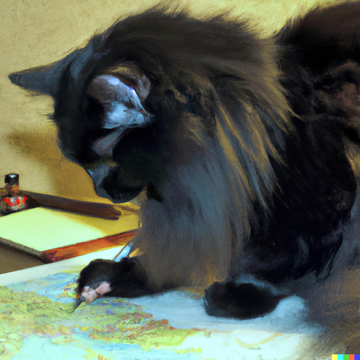
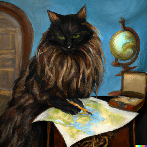
Cats & Maps
So, why draw maps yourself when you can just have the cat do it for you?

![[Deleted User]](https://secure.gravatar.com/avatar/c75d9a245b74d9c59be0999ea81ca541/?default=https%3A%2F%2Fvanillicon.com%2F92add7f8c954488718110edc4896ad39_200.png&rating=g&size=200)


 and 6 others.
 -
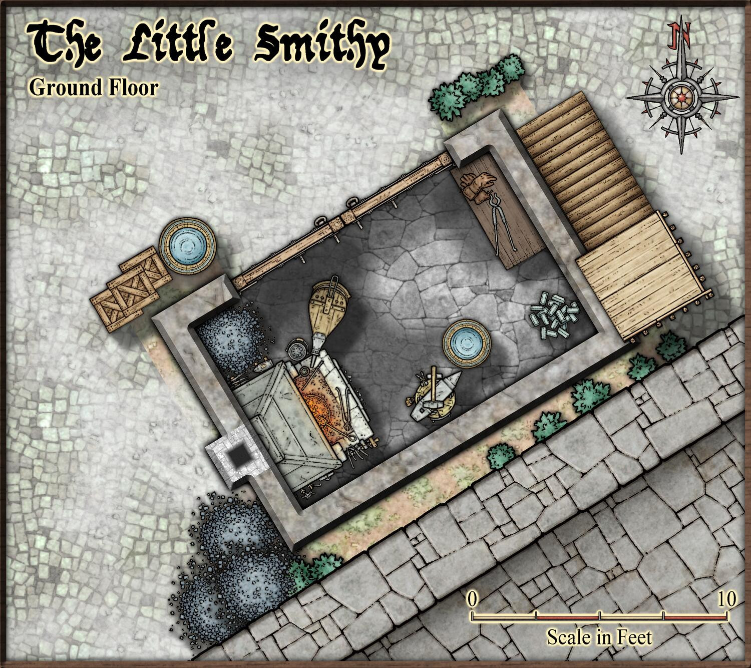
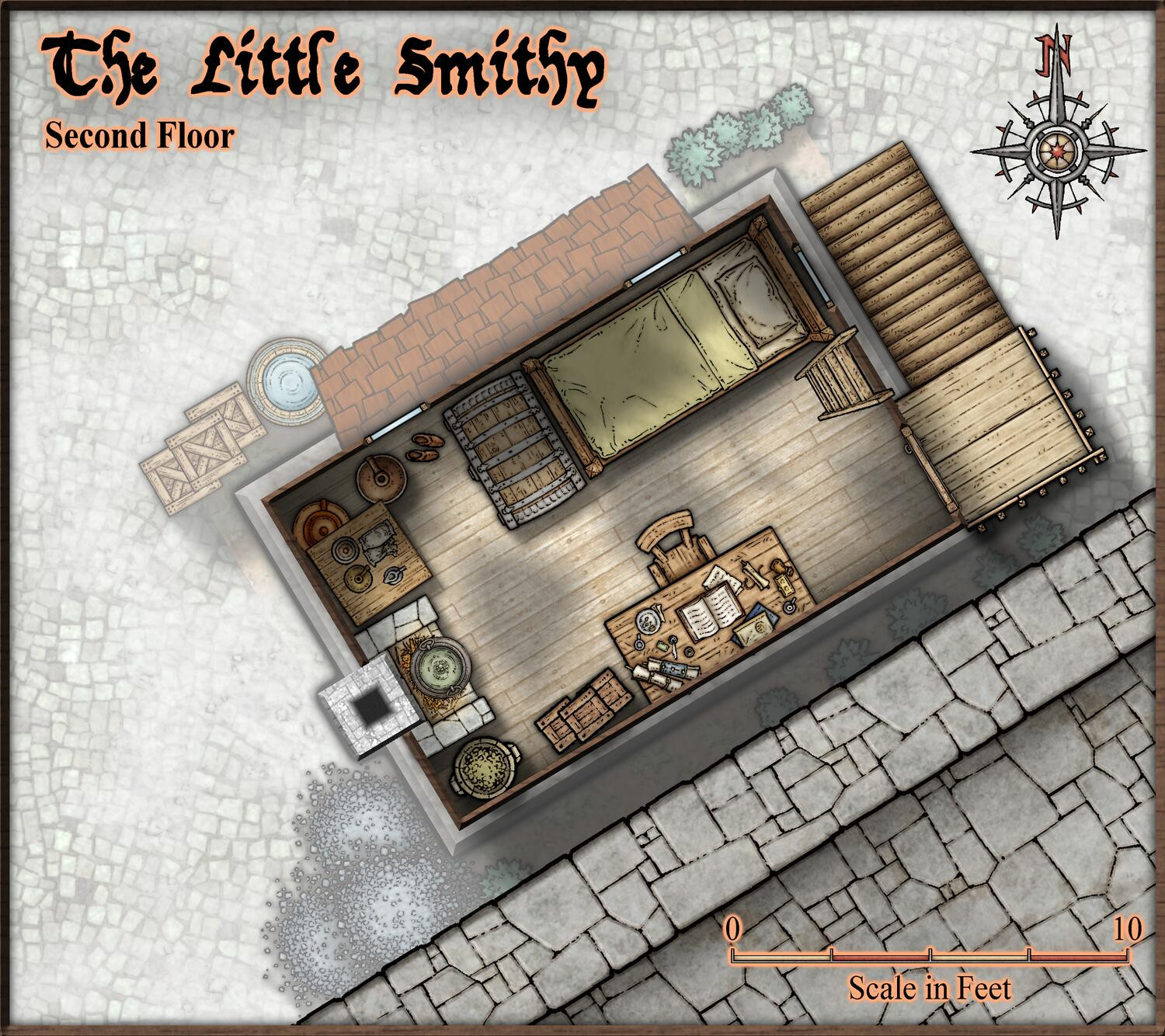
August Mapping Competition - Building Floorplans - Win Prizes
Guess I'll make sure to actually submit my own entry as well. Here's the final version of the little smithy.


-
City of Torlok
The reason for the bad resizing behavior is that you have lots of things on your MAP BORDER layer that doesn't belong there. There's a lot of buildings there, and most of the city wall is there too. This confuses CC3+.
To fix it, show just the BUILDINGS sheet, then use the command Change House Layer on all the buildings, and change it to BLDNG (HOUSE 1). Then make a new layer, call it WALLS. Now show only the SYMBOLS 2 Sheet, use change properties on everything and set it to the WALLS layer. Do the same thing for SYMBOLS 3 sheet.
Now, the resize command should work normally.
