Monsen
Monsen
About
- Username
- Monsen
- Joined
- Visits
- 723
- Last Active
- Roles
- Administrator
- Points
- 9,029
- Birthday
- May 14, 1976
- Location
- Bergen, Norway
- Website
- https://atlas.monsen.cc
- Real Name
- Remy Monsen
- Rank
- Cartographer
- Badges
- 27
Latest Images


-
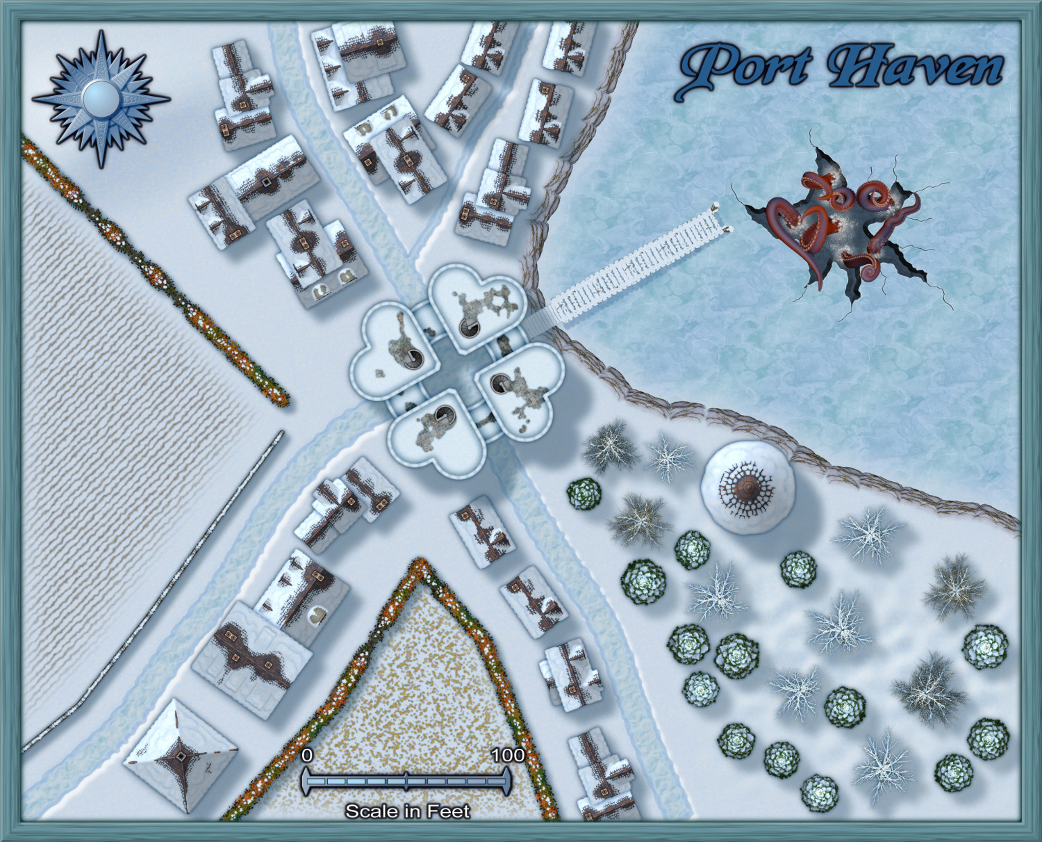
Community Atlas - Stromphe City - Captains Dock District
And the final map processed for now. Probably won't process any more before the competition ends now.


-
Live Mapping - A Peaceful Village


-
Live Mapping - A Peaceful Village
With the Community Atlas village competition ongoing, this seems like a good time to just sit down with a simple village map. Quiet little place without any horrible secrets.
As usual, you can see the start time in your timezone in the left sidebar of the forum, or by visiting the video on YouTube.
-
Community Atlas submissions question
It was created using the multilevel function at the time I created the first map, so it has the multilevel navigation links automatically included. Is it okay to keep those links?
I would prefer if they were removed, since the atlas has it's own navigation toolbar. There is also the issue of file names in those links. I often need to rename atlas maps (most of the time because the file name doesn't match the actual name on the map), and when I do that I end up with a bunch of wrong links. So I'd prefer the entire navbox and links being removed from maps.
Also, should I add hyperlinks on the stairs?
For the same reasons as above with the file names, it is best to leave out links.
If I am submitting a map and already have plans (or completed maps) for components within the main map, should I note that somehow when I make the submission?
If you have multiple maps ready, just submit them all at once, preferably in one thread. If not, just tell me what areas you are working on and I'll set them reserved for you.
-
Can someone explain how I can make my map print on the entire page?
Yea, there is actually a white polygon around most maps by default, on the SCREEN sheet, it is used to hide stuff that might be sticking outside the map border, since a drawing is technically borderless. But the printer will still see that as a valid area to include int he printing.
What you can do to avoid it is to print just the 'active window' instead of 'everything'. Before doing that, simply zoom in to your map, and maybe resize the CC3+ window accordingly so that the view only shows your actual map, nothing more. The best way do do this is to first use the Zoom Window command to define a tight rectangle around your map, and then resize the window afterwards, because CC3+ will remember the zoom you defined and always fit that part inside the window. Also remember, CC3+ do have the map in a separate inner document window, you can resize that instead of the main CC3+ window.