


Royal Scribe
Royal Scribe
About
- Username
- Royal Scribe
- Joined
- Visits
- 9,939
- Last Active
- Roles
- Member
- Points
- 3,476
- Birthday
- February 5, 1968
- Location
- San Francisco, California
- Website
- https://legacy.drivethrurpg.com/browse/pub/31814/Royal-Scribe-Imaginarium
- Real Name
- Kevin
- Rank
- Mapmaker
- Badges
- 16
Latest Images

Reactions
-
Annual style for a Wild West city map
Hi @pabadger, and welcome!
There are some really great overland styles that work well for a western theme.
CA123 Wild West from Annual 11 (2017) is a particular appropriate one. CA128 Parchment Maps from the same annual could also be good. (And CA132A Sue's Parchments could always provide a different background if you want.)
CA58 Treasure Maps from Annual 5 (2011) might work for you, depending on scale.
CA115 Woodcut Maps from Annual 10 (2016) is one to consider.
Those are the ones that I think most directly relate, but many other overland styles also have great desert and Great Plains symbols and fills that can work. I really like the arid/desert assets in CA163 Spectrum Overland (Volume 8, 2020).


-
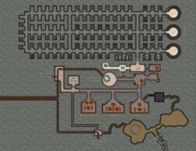
WIP School for Mages for merchant ships - The Tower of the South Wind
If I have multiple levels or elevations on the same map, I do a lot of different things for lower levels, depending on how it's being used.
If I just want the lower floor to be darker, I will add an Adjust Hue/Saturation sheet effect and add a negative number (usually -20) to the Lightness. If I want the whole lower level (symbols and all) to be darker, I will add a Shadow sheet and put a polygon across the whole sheet with a Solid 20 or 30 fill.
If it's outside (like the upper floors of a tower or castle), I will order my sheets so that all of the outside stuff renders first, before the inside stuff, and then I will put a polygon with a parchment fill a Sheet in between with a 50% transparency effect. I got that idea from Sue's Beaumaris Castle annual. If the style you're using doesn't have a parchment fill, you can always make it a solid cream color (like #29) and adjust the transparency.

-
How to Mark/Illustrate relative depth in Dungeon Maps?
Ralf did a tutorial about a year ago showing how to use the Solid shading to convey depth. His example uses sharper edges to convey stepping down, but you can also use an edge fades to make it more gradual. As I mentioned, I also sometimes use Adjust Hue/Saturation to change the lightness, but that only works if you're using separate FLOOR sheets.

-
[WIP] Rise of the Crone-Mother
Yeah, I should have clarified in my response in your thread that my mountain ridges used Darklands City for the structures but this one is Forest Trails and Creepy Crypts, as Sue said.
Forest Trails has a "cliffs shadow" drawing tool that draws a black polygon onto a sheet with sheet effects designed to turn it into a shadow. The reason is because if you just used the normal Wall Shadow sheet effects, you'd end up with shadows on both sides of the cliff, including the part that's supposed to be the clifftop terrain. This way you can draw the shadow where you need it and skip it where you don't. For the caves, I just left a gap where I placed the cliff symbols and then drew the cliff shadows there, too.

-
Expanding Endless Sea of Ice FR
Having said all the right now I am looking at creating a.. map of an old monastery on the top of a mountain plateau.... As normal other than drawing on paper and making notes I am struggling where to start. I have made one attempt using an overland style and scrapped it. Any thoughts on how I should start Scar Top or Hawk's Erie or both.. have not decided on the name.
I kinda think this would work well with Forest Trails and Darklands City together, unless you're going for a more illustrated look like Mike Schley's. Check out this thread where I put Forest Trail cliffs back-to-back to form mountain ridges and placed some Darklands City structures to provide a sense of scale. Further down the same thread, I did the same with the snow-covered cliffs from Winter Trail and snow-covered buildings from Winter Village. And you can check out another example in this thread where I did the same thing with the cliffs for the lair of a coven of forest hags.

