

DoubleDouble
DoubleDouble
About
- Username
- DoubleDouble
- Joined
- Visits
- 232
- Last Active
- Roles
- Member
- Points
- 173
- Birthday
- April 10, 1990
- Location
- Midwest, USA
- Real Name
- Cole Hinkel
- Rank
- Surveyor
- Badges
- 2
Latest Images
Reactions
-
See Maps, Share Maps, Repeat. Part 2?!
70 x 70 per 5ft. grid space is what Roll20 has as default and allows as maximum from it's free users.
A paying subscriber can set it as high as they like, (but don't make your players crash from being unable to load the map)edit; @taustinoc is correct, there are file size limits, but it's 5mb on the free account and 10mb on the premium account. (sound files have the 20mb limit)

-
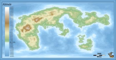
Live Mapping: Ancestry Annual
When I saw this was the annual this month I started looking up my genealogy to see if I could build a cool poster for my family.
It made me realize how few generations it takes for things to get out of hand ?
-
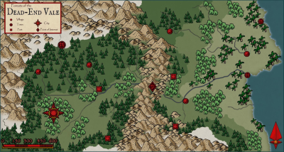
CA style development - "Darklands City" (issues for September and December 2021)
I don't know my history as well as I should but I just kind of imagine an arthurian age where most people of power are corrupt and everybody knows it but is too fearful to stand up to it, so they purposely keep that fear cycle turning with public displays of punishment. Getting in good with certain officials means you are untouchable, up to the point of your usefulness anyway, so crime is common and it is a risk to even try and prevent it from happening.
Then the players enter.

-
Map Construction
I would personally layout the map on the 18x12. I would bring the crop marks into CC3, and then when I go to export the PDF for home use I would export a rectangular selection that is only the 17x11 area and when needed for the printers I could do a full export which would include the bleed area and crop marks. This would cut out having to mess with many tools outside of CC3.
What you have works though, I would never blame somebody for not breaking what already works.

-
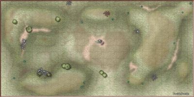
How to Represent Elevations in a Top Down DD3 Map?
Here is my attempt at similar not too long ago:
I mention in a later comment the sheet effects I used. I mostly just remember it took a lot of fiddling with a lot of effects to arrive at the result.

-
Is There Anyway to Turn a PNG into an FCW
The PNG is only pixel data, so you will not be able to turn it back into the various assets, layers, and effects that added up to become that particular pixel or that was totally separate from the pixel next to it.
That being said, you should be able to import the image to a new map by click+drag into the program. If you just need to add a couple symbols it may work - but if you need to add symbols and have them interact with previous symbols in the saved image (such as for shadow boundaries or to have previous symbols partially overlap on the new ones) it might be more of a struggle.

