


Monsen
Monsen
About
- Username
- Monsen
- Joined
- Visits
- 723
- Last Active
- Roles
- Administrator
- Points
- 9,029
- Birthday
- May 14, 1976
- Location
- Bergen, Norway
- Website
- https://atlas.monsen.cc
- Real Name
- Remy Monsen
- Rank
- Cartographer
- Badges
- 27
Latest Images


-
Reset Origin
Not sure why it happens, seems like it happens when the X-dimension gets too large. Since it preserves the aspect ratio of the image, try inserting it using 0,0 for the first corner and 10,10000 for the second corner. The 10 in the second coordinate is basically ignored because aspect ratio is kept. (But you need to use a number larger than 0, so 0,10000 doesn't work)


-
Community Atlas Project - Download information - Contributions Welcome
Here's some more great maps from @Quenten


-
Some Traveller sub-sector maps I have done
Congratulations, well done.
![[Deleted User]](https://secure.gravatar.com/avatar/c75d9a245b74d9c59be0999ea81ca541/?default=https%3A%2F%2Fvanillicon.com%2F92add7f8c954488718110edc4896ad39_200.png&rating=g&size=200)
-
Community Atlas - Serkbergen / Peredur
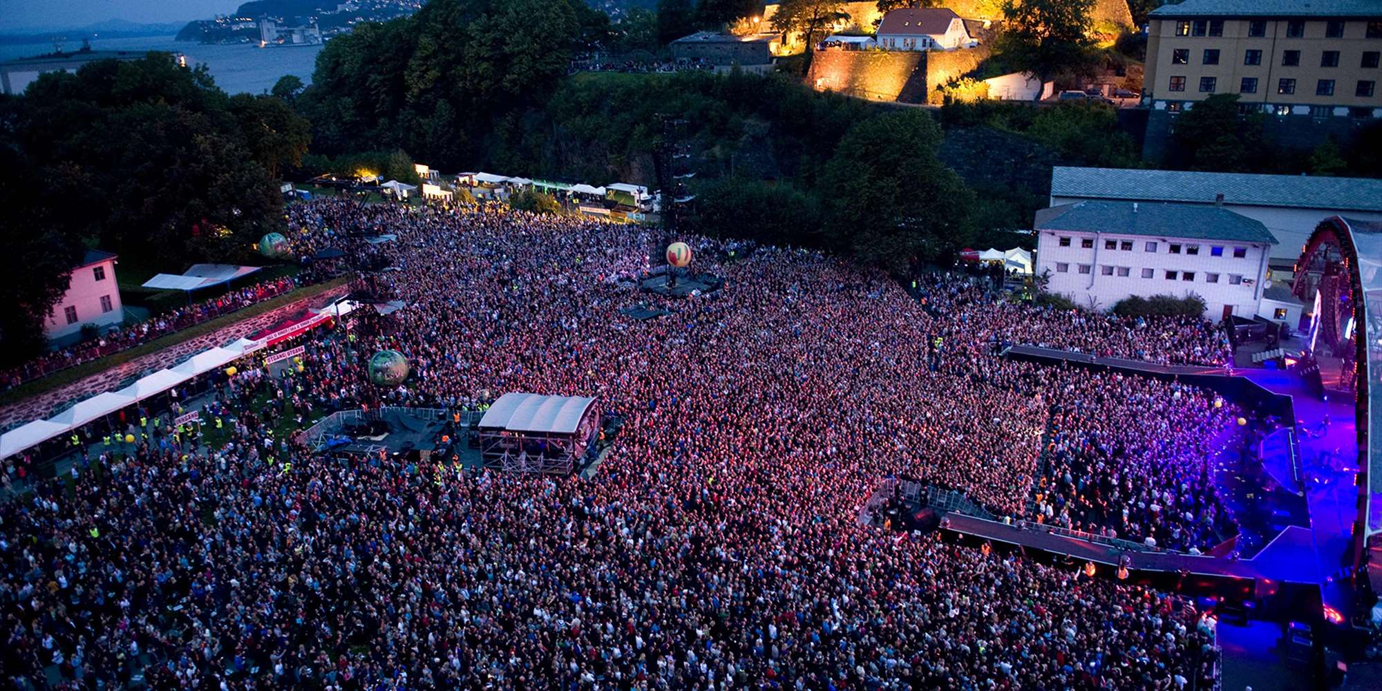
Nice. Bergenhus is an important historic site in my home town. Here's an illustration and some text of the real thing. Today, it serves as a museum and an outdoor concert arena.

-
Cartographer's Annual - all the issues linked in one place
Too many stickies is indeed a problem. If I stickied everything useful, the front page would be stickies only. But, I've put it in the resources category, a nice curated collection of resources (well, will be once I actually find the time to populate it) where it is easy to find since that category won't be full of clutter. Regular members can post comments in the discussions in this category, but can't post new discussions.
-
Community Atlas: Embra - Crossing Places
I'm quite a bit behind yet, but here are these maps included in the atlas:

-
Community Atlas - Forlorn Archipelago - Fisher Isle, several villages and surrounding areas
Note I'm not exporting as 3000, just using Irfanview to expand the jpg.
Uhmm..... why? Enlarging the image after exporting it won't add any additional details. That's just extra work from you for no benefit, and extra storage/bandwidth used by everyone. Normally people do it the other way around, exporting it larger than they need then reducing it, because this can help produce a better quality image than exporting directly to the resolution.

-
Community Atlas - Serkbergen / Peredur
Finally got around to get these into the atlas. Still not the end of my backlog, but at least a solid chunk. Thanks for the contribution.
-
Forgotten Realms Interactive Atlas Updates
You should be able to get them through the archived version of the site on archive.org.
I think their archives for update 2 are corrupted, but you only need update 3, it is a cumulative update.
-
CA122 - FRIA 0030 Temple of Selune updated to CC3+
@Quenten :
No, I cannot use these for the atlas. A re-imagination of a classic map (With name changes, a lot of those place and god names are trademarked [then again, many are not, because they took them from existing religions and beliefs]) may be ok, but not a straight-up conversion like this.
Also, you cannot post the original FR atlas maps here, they are part of a comercial product, and even if it is not in sale anymore, those copyrights still belong to Wizards of the Coast/Hasboro. I think remakes are fine though under fair use cluases, unless Ralf says otherwise. I didn't remove any of the .fcw's, because you seem to have posted the converted version twice anyway. Low resolution images of the original maps for use as comparison with updated versions are probably fine as well, but please don't do high-res exports and put them in the gallery.
