


Royal Scribe
Royal Scribe
About
- Username
- Royal Scribe
- Joined
- Visits
- 9,939
- Last Active
- Roles
- Member
- Points
- 3,476
- Birthday
- February 5, 1968
- Location
- San Francisco, California
- Website
- https://legacy.drivethrurpg.com/browse/pub/31814/Royal-Scribe-Imaginarium
- Real Name
- Kevin
- Rank
- Mapmaker
- Badges
- 16
Latest Images

Reactions
-
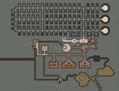
Galery of NPC
These are amazing. Were the characters done in Character Artist? I haven't played around with it enough to see how versatile it can be.

-
Tracing an existing map on paper or a image file.
That’s a good idea, @KertDawg. I tend to hide the layer it’s on rather than the sheet, because I’m less likely to show all layers than I am to show all sheets. Another approach to keep it from showing inadvertently would be to add a 100% transparency.

-
How to use the Ball Filter?
(My plans are delayed a few hours so I got back here faster than expected.) I do have City Domes and I love it! Many months ago I bought that annual specifically for City Domes (and then like all of my other Annual purchases, discovered many other things I love about that annual.) But this is a commission that doesn't give me any leeway beyond DD3.
But good tip about the Humble Bundle! What a deal. I happen to already have everything except the Tokens, but I highly encourage anyone who doesn't have everything to take advantage of it.
Continuing my experimentations. Figured out that donut-shaped circles cut into slices aren't proper polygons that respond to the Angle by Edge function. I will have to try manually tracing/drawing my pie slices.
-
How to use the Ball Filter?
Thank you! I was fiddling around with various things like drawing a circular building with 32 side and then layering a Solid 10 transparency with an inner edge fade, but it didn't quite work out the same as the Hachures. Appreciate your help very much!

-
CC4 Overland Development Thread
It's really great. I can't wait to have an opportunity to map with this style.
-
CC4 Overland Development Thread
I agree, I really like the displacement effect on the roads. The Forest Trails annual inspired me to do something similar on a lot of my paths. Nice to see it works on an overland map, too.
-
WIP Smokey Hollow
Congratulations! Also...World's Largest Jeep?

-
Top down campfire?
All this time, I thought you did the Forlorn Trails add-on, Sue.
Just searched for campfire. I believe the DD3 one comes from the CA49 (2011) add-on, under the Alchemy Objects group. SS2 Bitmap B has one but it's pretty cartoonish. SS2 Bitmap A also has one, I think.
Dundjinni Archives has a bunch of free ones but they don't always mesh well with other styles.
-
Do you use a tablet?
Oh, like a Wacom tablet? Gotcha! Nope, I don’t have anything like that.
-
[WIP] The Griffon's Eyrie Redux: Spectrum Overland
At this scale, maybe it’s more of a roc’s eyrie.

