Mapping My Homebrew World - The Causted Chain
 TexturedSun
🖼️ 2 images Newcomer
Hi All,
I'm relatively new to the forums here, but I've had CC3 for over a year having bought into the software to provide maps for an ongoing D&D campaign I run for my friends. I thought I'd share my progress and work as it evolves with the campaign.
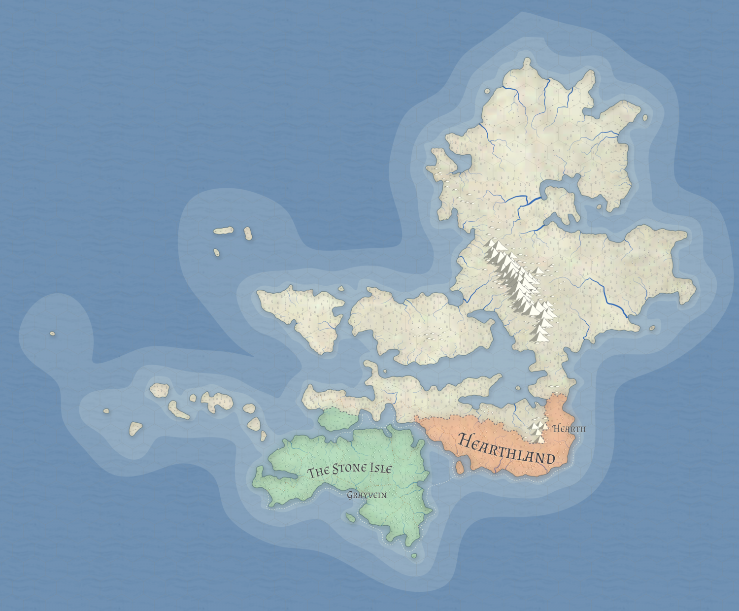
So I began by using Azgaar's glorious worldmap generator to create the following world map and 'civilised' regions, which I have called the Causted Chain. My long term goal is to convert this simple map into detailed region maps in CC3.
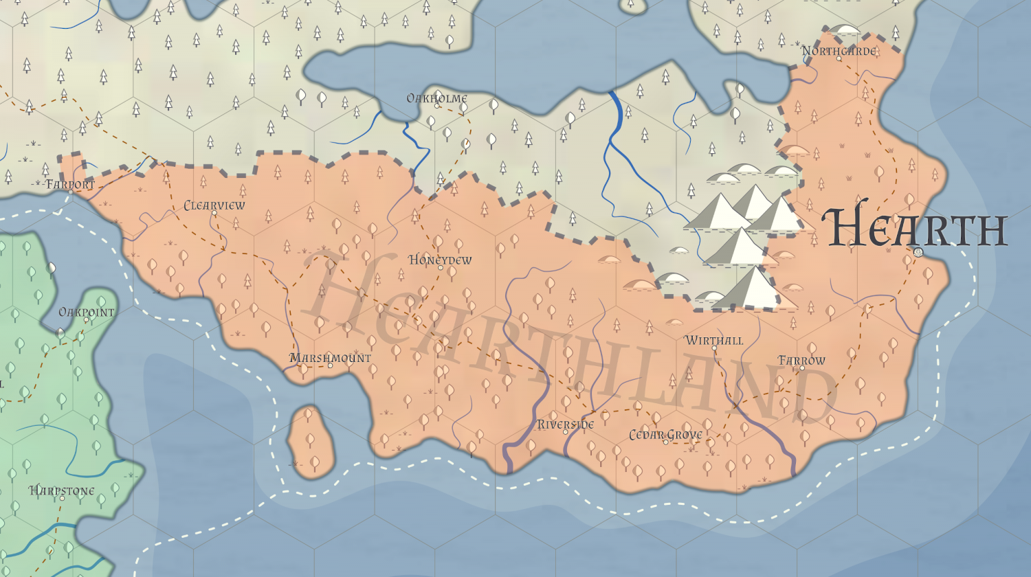
My campaign starts in one of the two populated regions: the Hearthland; which, when you zoom in looks like this:
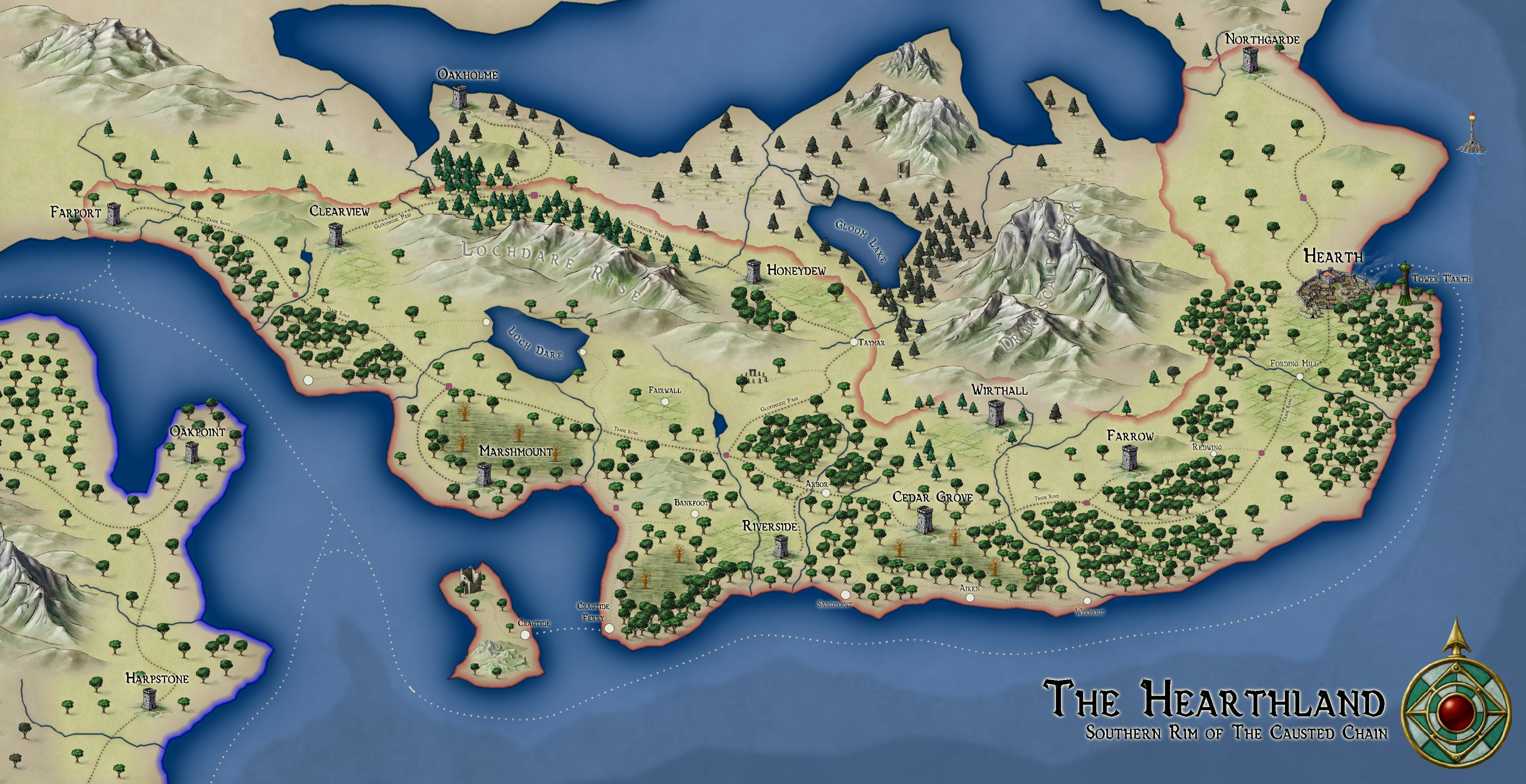
So I begain creating the region using the Jon Roberts overland style, and this is the current outcome. I have made a few artistic changes, and the map evolves as the players visit new towns/villages and explore different areas.
I am looking into the possibility of adding a map border, but not sure how best to do it. Any opinions on this would be appreciated, along with C&C of the map.
I'll keep this updated as best I can. Thanks for reading ?


Comments
The Azgar's feature also enable you to get Watabou city maps - and there is a great Annual issue (no 1 in the 2020 issue) that shows a very easy conversion of Watabou cities to Cc3+ - a simple conversion takes me 12 minutes now.
I saw that in an email update, I definitely plan on getting the 2020 annual to help with that as all of my city maps have been Watabou generated ones. I have created a couple of city maps using the Schley style and may end up continuing with it.
How did you get the Azaar map into CC3+? Save as an image then import the image and trace (not the command) around the continent shapes?
In all honesty I didn't import it - I opened the original image on one screen and then on my other screen in CC3+ I copied the shape freehand.
Ack! Well, excellently done!
But yes, save as PNG and Insert on a sheet called BITMAP or whatever you prefer, hit it with some transparency and draw away. So much easier.
Cal