THE MAP FOR DICE Mapping Competition!
 Lorelei
Betatester 🖼️ 46 images Mapmaker
Greetings all! I've decided to do a mapping competition.....
I've been quite busy of late, as i've recently started working with the NYS Dept of Health (you can imagine how interesting THAT is amid this health crisis), working on a few mapping commissions and most recently have partnered up with a relatively creative friend to start up a dice business @DiceHags. That being said, i have had no time to map out the region of my campaign that will be the final story arc, and likely where (hopefully) my players may reach the pinnacle of this campaign over the next year or so, beat the big baddie and save the realm from evil - you know just another few years in the life of an adventuring team of murder hobo dopes, so i've decided to offer up the entire region for a mapping contest! This way I get some great maps, you all get some great maps, and someone wins a custom dice set!
The Rules:
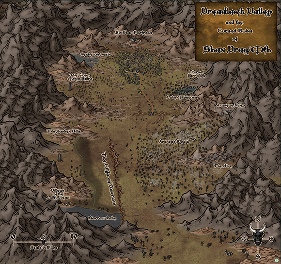
1. Map out any element on the Dreadlock Valley map (region, city, village, building, adventure area, etc.)
2. Maps must be made with only CC3+ and it's add-ons (I have all the ProFantasy annuals, free assets and programs available to me) unless you have created the symbol or fill YOURSELF and are willing to share this map (.fcw and all) with the entire community.
3. Maps will be entered for judging in the ProFantasy Forum ONLY. Maps may be displayed on the Facebook fan page, of course, but official entries must be HERE.
4. You may enter as many times as you want
5. All entries must be in by June 30th. Judging will be done on Sunday July 11th
The Prizes:
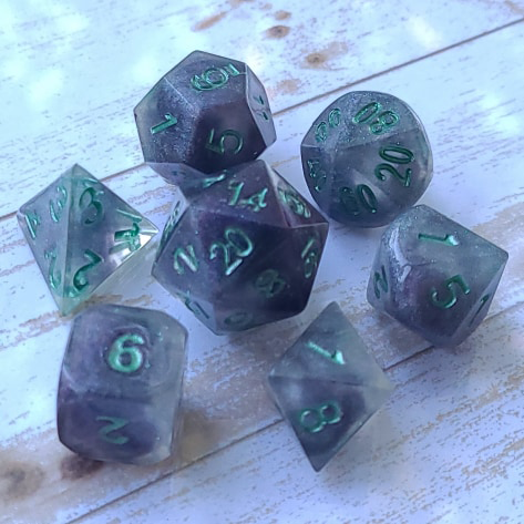
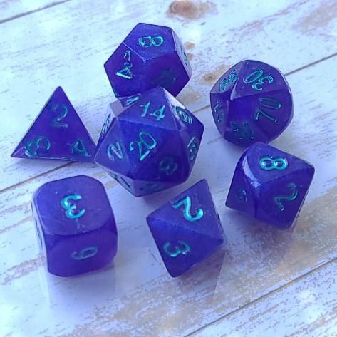
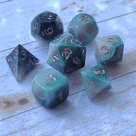
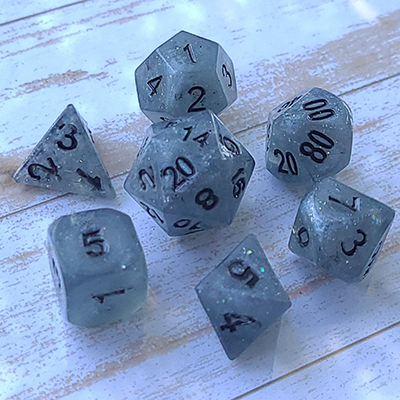
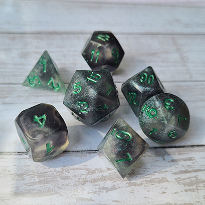
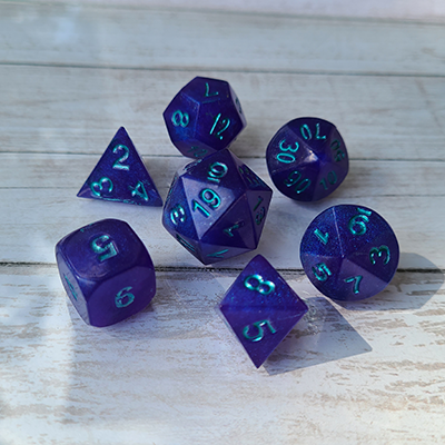
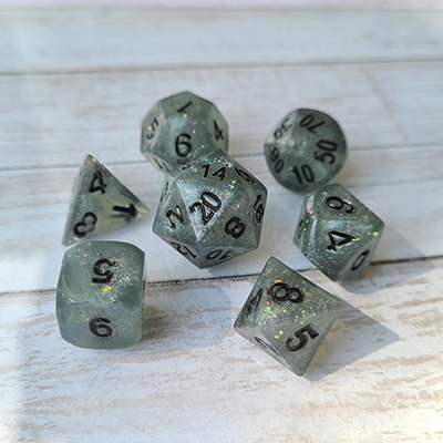
First Place - a custom handmade set of dice (set of 7) by Dice Hags (me!)
Second Place - a premade handmade set of dice (set of 7) by Dice Hags
Third Place - a premade handmade B grade set of dice (set of 7) by Dice Hags
Honorable Mention - a premade single D20
Good luck! Any questions, please post below or whisper me!
**Link for high res version of Dreadlock Valley:
Click for the high-resolution version.


Comments
Now, the difficult part, how to make 4 maps good enough to claim all 4 prizes.
I am pretty sure I can utilize that map for my own campaign too.
The small village of Windrip overlooks this body of water. The village's remote location makes it's inhabitants wary of strangers, and it takes years, if not decades, to be accepted by the society. A few fishing hamlets can also be found around the lake, and the mountainous area makes them only accessible by boat. The lake is home to a handful of islands, most predominantly the Hadleigh Island. Here lies the ruins of Hadleigh Castle, once a home to a noble family, but has since been shelter for various bandits and outlaws. Darkwell Tower is located on the eastern bank of Besherue Basin. The tower is manned by a dozen of soldiers, and a path from it leads down to a small pier, where it receives supplies from Windrip every fortnight.
Best regards, Christian
.
You can also check out our shop at Dice Hags Etsy
I can't help but notice the lack of WIP [Work in Progress] threads for this competition. While I do hope a lot of people have taken up this competition and are already mapping away, it would be nice to see what people are working on, it is always inspiring to see what others are doing.
And if you haven't joined in yet, I strongly encourage you to do so. Completions are fun, and they just get more fun the more people that participates. Doesn't matter if you think you would win or not, just participating is fun in itself. And remember, as with all competitions, this one has a time limit, this isn't really something that can be filed away for later (well, not much later anyway), it is participate now or forever loose the opportunity. I recommend you take the opportunity to try out that new style you've been wanting to give a go, or try those new techniques you might have thought up. And while it is naturally that you want to do your best for the competition, if you are short on time, it is better to do a quick map than none at all.
Spiders, lads ! Of a size you wouldn't believe your own eyes ! Be prepared for them for they are hungry and they will see you as food !
This old map, handed down to me by treasure seekers from years past. Is it worth while ? Are there gold coins ? I don't know, but why give up the chance of finding it ? Or do ye want someone else to get your treasure ?
It is a small area map of the broken bridge at the gorge and its surroundings. There is the small (and a little megalomaniac) village of Gorgetown, whose viallagers have constructed a smaller new bridge to go hunting on the othe side and a wooden pallisade to protect them from the dangers lurking in the northern ruins.
Very nice
Click the image for a high resolution version, you'll need it to see many of the details properly.
The map requires the following add-ons:
Campaign Cartographer 3+
Dungeon Designer 3
Perspectives 3
Symbol Set 4: Dungeons of Schely
The Cartographer's Annual vol 5 (2011)
The Cartographer's Annual vol 10 (2016)
The Cartographer's Annual vol 13 (2019)
CSUAC 2.0
Bogie's Mapping Objects
Dundjinni Archives
[Image_14776]
it requires the following products/add-ons:
Campaign Cartographer 3+
Symbol Set 2: Fantasy Floorplans
The Cartographer's Annual - Free Samples
The Cartographer's Annual vol 5 (2011)
CSUAC 2.0
Bogie's Mapping Objects
Dundjinni Archives
I've finally finished reinstalling CC3 onto my new laptop, so I'll see if I can knock together something relating to the Eternal Barrows in the days remaining.
The FCW file requires CC3+, the "Caves & Caverns" Cartographer's Annual 7 package from 2007, assets from the DD3 and Token Treasury 1 packages, and the Windows 10 font MV Boli to be available to view correctly.
There are five levels to the map, descending from Level 1 nearest the surface, to Level 5.
[Image_14957]
[Image_14958]
[Image_14959]
[Image_14960]
[Image_14961]
Each can be viewed by activating the appropriate "Level" number Layer in the FCW file.
There's also a schematic block of three vertical sections through the complex, available via the "Schematic Drawings" Layer, to help better visualise the whole system - think three linked ant-farm panels, basically:
[Image_14962]
In case there aren't enough subtle clues on the Level drawings
And if the illustrative ants prove too distracting, they can be hidden using the Ants Sheet - example of Level 2 with the Section Drawings alongside, but sans ants:
[Image_14963]
I've set-up a separate Show & Tell Forum post with further descriptive notes about the map's construction here, and there's an accompanying set of PDF notes to go with it too, appended with the FCW file at the end of this post.
The Hive will eventually be added to the Community Atlas among my detailed Errynor maps, albeit probably with some amendments, and an adjusted PDF file as well. Eventually...