

Community Atlas - Continent E - Ezrute
 Shessar
🖼️ 34 images Mapmaker
Shessar
🖼️ 34 images Mapmaker
I have the basics laid in using the Schley style but may experiment with one of the others just to see which looks best. Nothing much to see yet.
Comments
I agree Sue. After trying out the other styles, I've decided that the MS style has the best fill styles for this. However, I have a feeling that this map may end up being a composite of styles.
This landmass is going to be a challenge to make it into something other than just a frozen pile of rock.
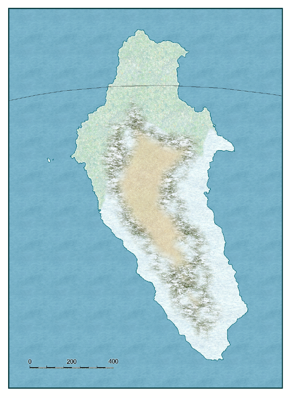
When looking at this continent, keep in mind that the north to south distance is about 1600 miles. That is the distance from Maine to Florida in the US. A good portion of it is in the arctic, but not all of it.
Here is what I've been playing with so far. Ignore the northern portion for now since I haven't done anything with it yet. Your opinions and suggestions are very welcome at this point!
I like the beveled shading along the south! Is that just an effect on the terrain fill, or is it overlay? Or something else? The different coastline borders is interesting but the transition from one to the other seems a little abrupt to me.
I love the venting and greenery in the "hidden" valley. It opens all sorts of possibilities though, personally, I'm thinking dinosaurs a la The Land that Time Forgot and The Lost World!
Cheers,
~Dogtag
I've also reduced the size of the valley, it was too large before.
What a hoot that we are all thinking the same things about the hidden valley.
Lorelei, you are certainly welcome to map as many areas as you would like!
I've started working on the northern part of the continent. I'm not sure what I think so I'm sure there will some changes as I go along.
Don't think I heard of allosaurus until I went to university years later.
Placing mountains has always been tough for me: your map and how you built around the Lost Valley is quite inspirational.
One of the world’s southernmost inhabited areas, it's known for its rugged, remote terrain of frozen mountains and rugged hills sheltering arctic bears, polar worms, and winter wolves. The Singing Lights are visible during the unbroken winter nights, and summer brings the Forever Sun—sunlight 24 hours a day.
The southern reaches are always frozen, but the northern coastal regions are green during the polar summers. It is during these warmer months that the sturdy inhabitants can be seen fishing and hunting the seals and waddling birds that visit Ezrute to mate.
What many who visit Ezrute find odd however, is the abundance of fresh fruit, vegetables, and exotic meats in the villages, even when the land outside is frozen solid in ice. When asked how they manage too keep these foods fresh for so long, the people of Ezrute merely smile and mumble something about a lost valley protected by the gods...
I can't wait to see what you come up with for Peredur!
I also really like the font(s). Can I ask, what did you use?
Cheers,
~Dogtag