
pkfrye
pkfrye
About
- Username
- pkfrye
- Joined
- Visits
- 202
- Last Active
- Roles
- Member
- Points
- 330
- Rank
- Surveyor
- Badges
- 4
Latest Images
Reactions
-
Too early for a CC4 wishlist thread, or is it timely?
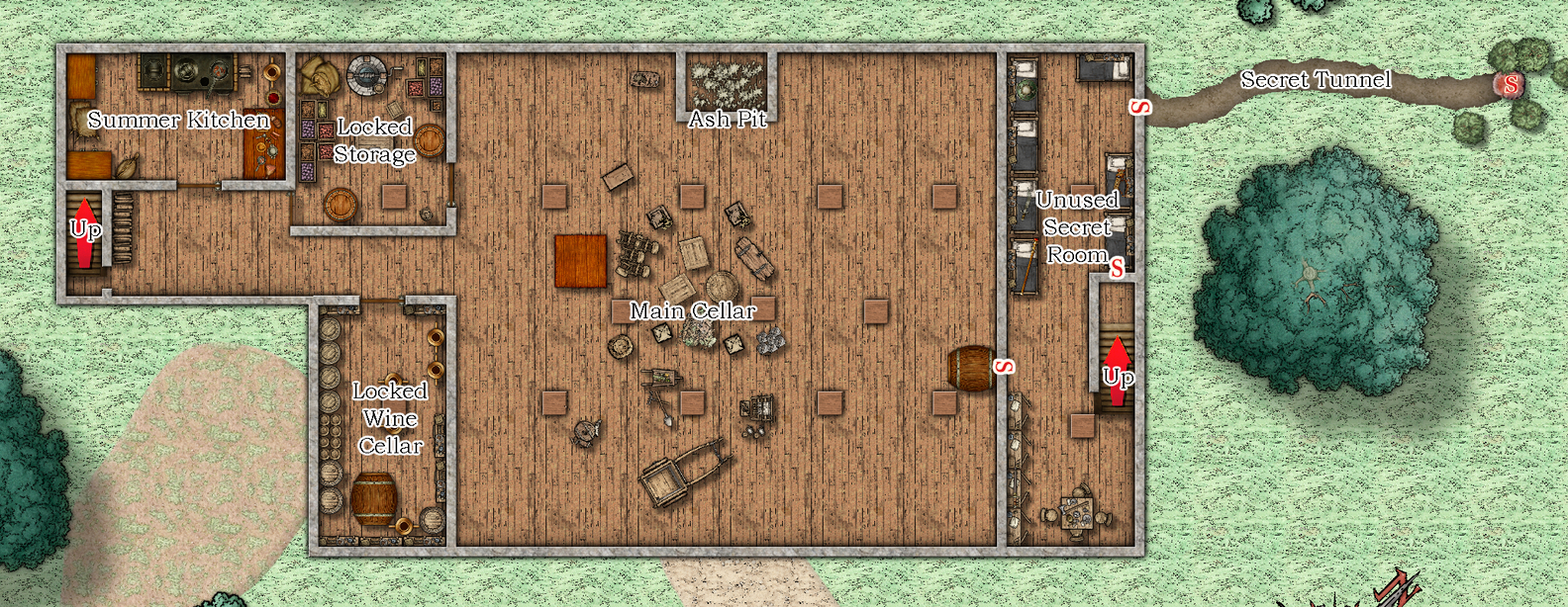
I'd like to see refinements in linking between maps. I would like to have the ability to build a stand-alone atlas, independent of the program, with fully functional hot links between sub-maps contained within the atlas. I'd like the ability to do so without visual text and boundary boxes around symbols. Click on a city symbol, boom you are looking at the city map. Click on a building, boom you are looking at the ground floor floor plan. Click on a staircase in the floor plan, boom you just displayed the upper or lower floor, which ever is applicable. Click on a lamp on a desk, boom you just changed the lighting/shading. To me, the interactivity would be a valuable addition. Mind you, it would place an additional "burden" on the cartographer, building sheet lighting effects, etc. But the utility gained would be fantastic. I'd love the ability to click on a desk symbol to "open" a drawer to reveal an object that could be displayed in the drawer, then click on that object to reveal a description, or a close up view, or both. Hover over a symbol and it "highlights" to show that you can interact with it. This my version 4 dream!


-
iPhone -Android app
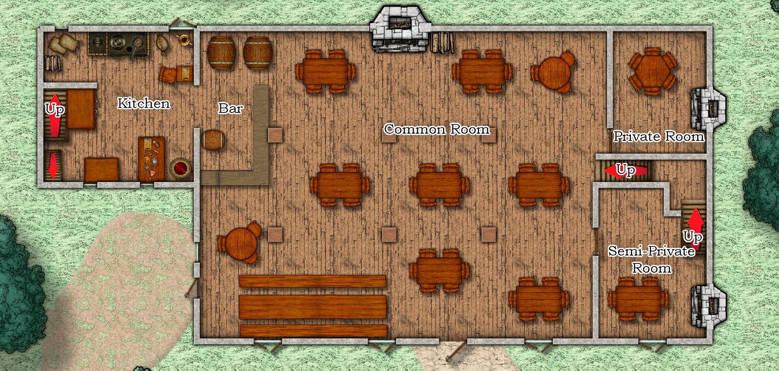
For those that don't have Acrobat DC (I don't) I used Powerpoint to create the links on the attached example. First I exported the maps a PNG files and imported the images into powerpoint on three different slides. Then I exported the file out of Powerpoint as a PDF file. The links are automagically embedded in the PDF. Click on the staircases to move from level to level in the building.
![[Deleted User]](https://secure.gravatar.com/avatar/c75d9a245b74d9c59be0999ea81ca541/?default=https%3A%2F%2Fvanillicon.com%2F92add7f8c954488718110edc4896ad39_200.png&rating=g&size=200)

-
Blast form the past - TSR's Homlet


-
WIP: Modern Ruined Buildings
I'm thinking about making some "modern-ish" models for Perspectives. I really like the architecture of older buildings. Can't decide on modeling them in 3d or drawing them. Here is a sample 3d model I did this morning in Bryce.
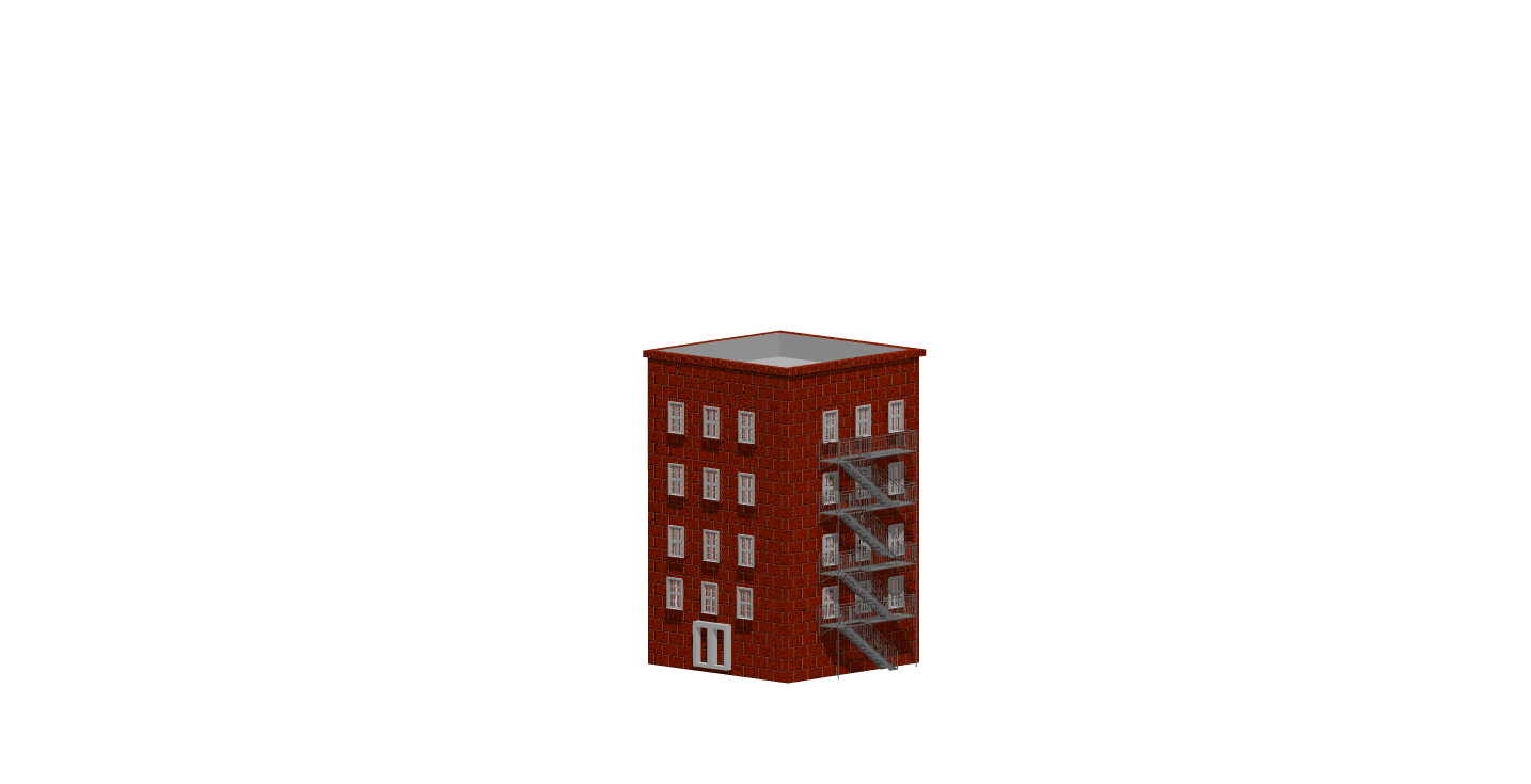
Interested in thoughts on the subject.
-
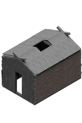
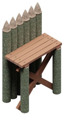
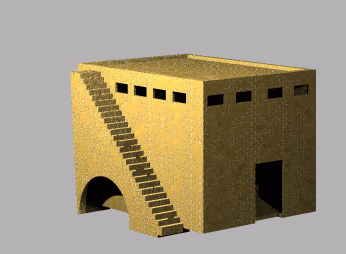
Blast form the past - TSR's Homlet
One of my favorite "introductory" modules. Here's my take on The Village of Homlet. I also have floor plans for St Cuthberts, the Welcome Wench, and the Traders Establishment if anyone is interested in seeing them.