

Calibre
Calibre
About
- Username
- Calibre
- Joined
- Visits
- 1,746
- Last Active
- Roles
- Member
- Points
- 1,327
- Rank
- Mapmaker
- Badges
- 10
Latest Images
Reactions
-
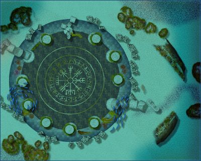
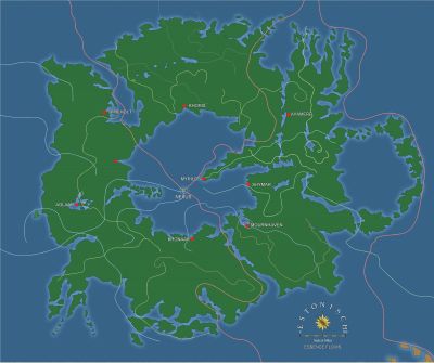
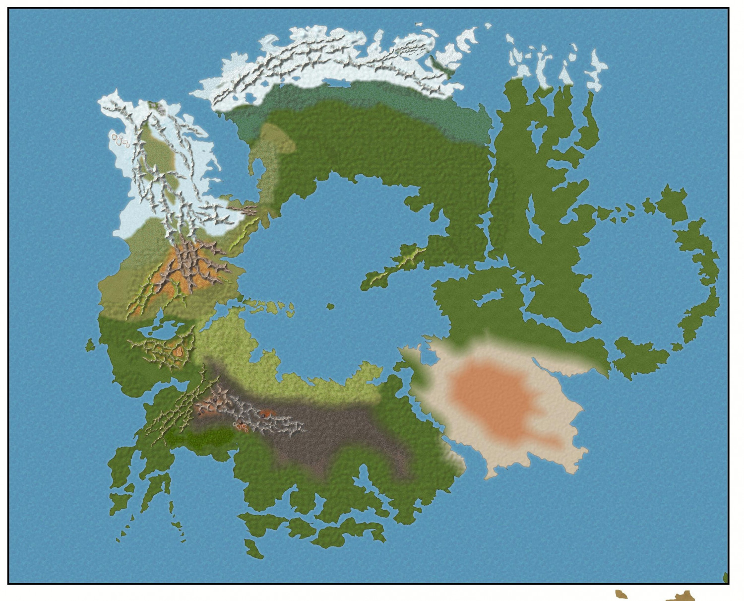
WIP: ESTONISCH CONTINENT BIRDSEYE
Sue,
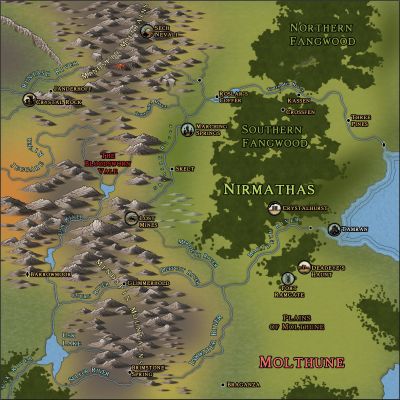
You see how the ripples in the image above are sometimes perpendicular to the main ridge line? Astonishing! That's eons of time, I'm guessing.
I must point out that you've done equally astonishing work here, capturing the look and feel of these kinds of maps. I love it.
Cal

-
WIP: ESTONISCH CONTINENT BIRDSEYE
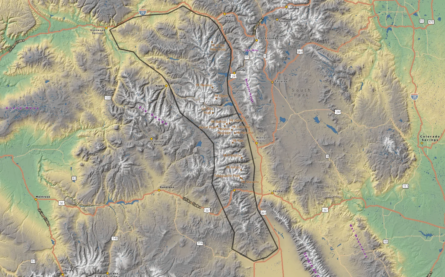
Here's a look at the Colorado Rockies:

-
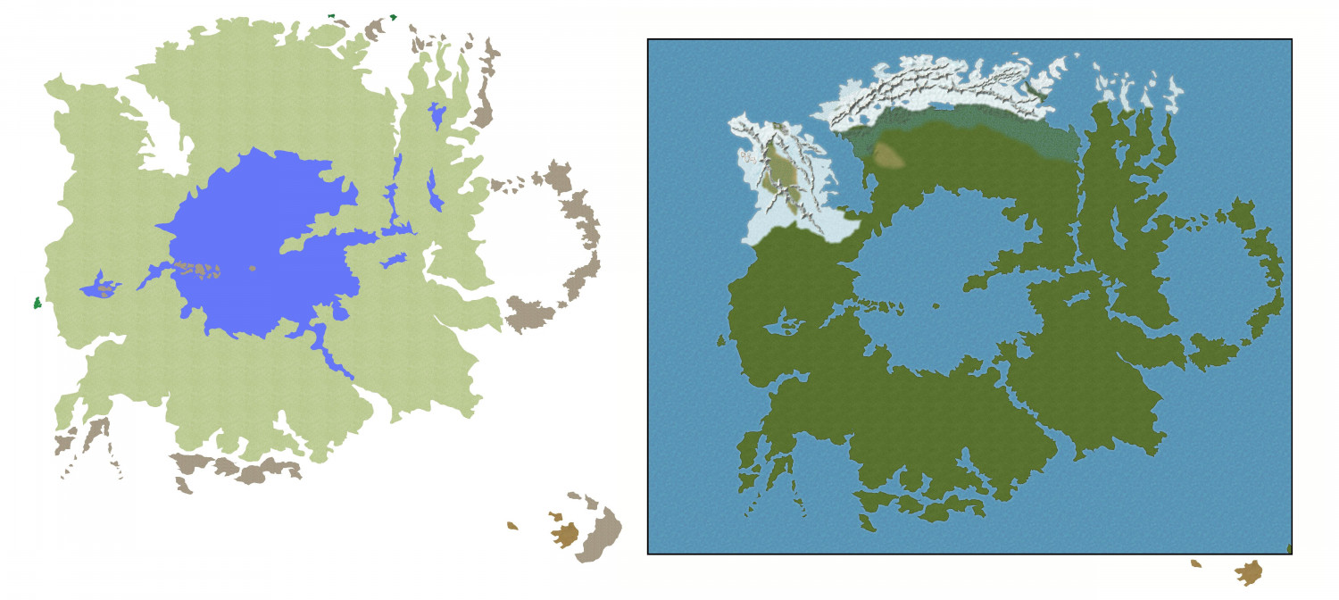
WIP: ESTONISCH CONTINENT BIRDSEYE
UPDATE:
Now, about the natural way ridges are supposed to go...I've studied a contour ridgeline map of the Himalayas and see the ridges going all over the place. What do you guys think?
Cal

-
WIP: ESTONISCH CONTINENT BIRDSEYE
WELL,
the process is slow, but steady. First, I had to copy over the original map then get my head around how the drawing works for Birdseye. That is, the background is the green grass and you must then draw in the water, blocking out the land as your map requires. So, I put a ocean/water rectangle over the grass fill, ensured the copied map was moved to the water (all) sheet, changed colors to magenta so Color Key would work, and here we go. I'll update progress.
thanks
Cal
-
CC4 Overland Development Thread
Ms. Sue
Those look absolutely perfect! Thanks for your hardwork.
PS: any ideas how this CC4 is going to work? Meaning, it's a completely separate program or will it upgrade CC3? My instincts tell me a completely new program....
Cal
PS: apparently, official sources indicate there is no difference between hills and mountains. There used to be, but both UK and US abandoned the distinction in mid 20th century. Generally, the old definition had a hill as rounded with a summit less than 1000 feet.

