


Monsen
Monsen
About
- Username
- Monsen
- Joined
- Visits
- 723
- Last Active
- Roles
- Administrator
- Points
- 9,029
- Birthday
- May 14, 1976
- Location
- Bergen, Norway
- Website
- https://atlas.monsen.cc
- Real Name
- Remy Monsen
- Rank
- Cartographer
- Badges
- 27
Latest Images


-
Community Atlas - The Ruins of Shurublau


-
Community Atlas: Ruins of Shadow Keep, Malhavania, NW Doriant
Thanks @Wyvern , these maps are now in the atlas.

-
Dungeon Level Symbols - Celtic Revival Room by Room
Cute girl Kert. And a lovely boy you have there Quenten. Also quite a handsome little fellah there Maidhc.
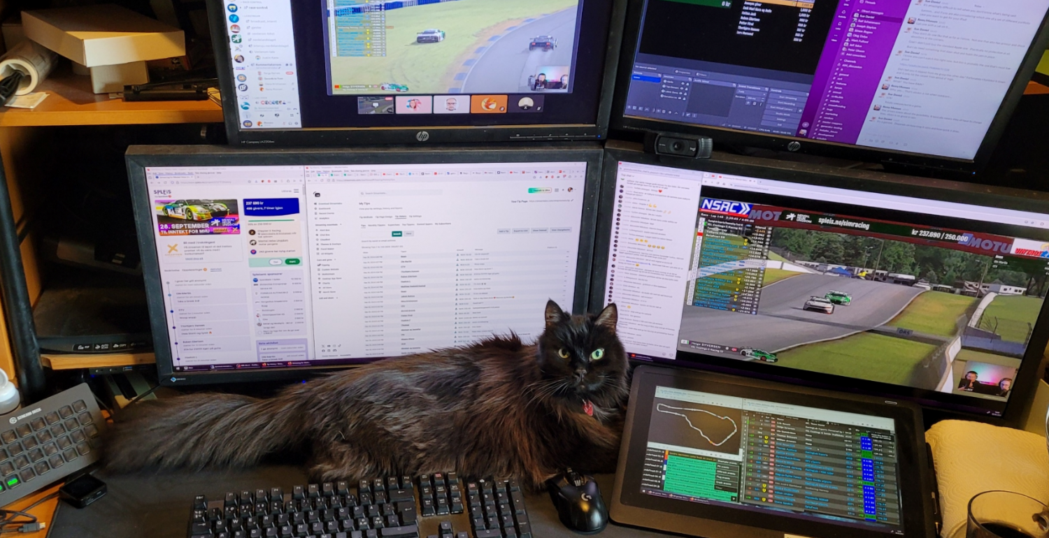
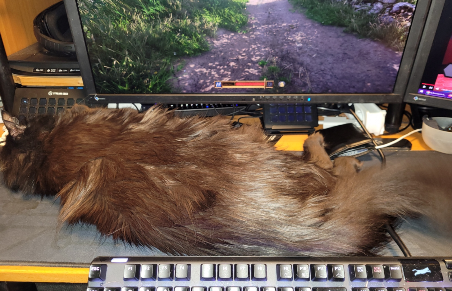
Here's Jack in one of his typical postures, usually pushing the keyboard off the desk and into my lap, or using his tail to do some touch-typing or hitting the mouse buttons (cat tails are much more proficient at both typing and clicking that I could ever have imagined before I got a cat)
(Shessar - Maybe we need a long-haired cat?)


-
Dungeon Level Symbols - Celtic Revival Room by Room
Those are absolutely lovely. Maybe you should do a household animal annual?
-
Dungeon Level Symbols - Celtic Revival Room by Room
Those looks great. But there doesn't seem to be a cat lounging on any of them??
