Monsen
Monsen
About
- Username
- Monsen
- Joined
- Visits
- 723
- Last Active
- Roles
- Administrator
- Points
- 9,011
- Birthday
- May 14, 1976
- Location
- Bergen, Norway
- Website
- https://atlas.monsen.cc
- Real Name
- Remy Monsen
- Rank
- Cartographer
- Badges
- 27
-
[WIP] Community Atlas - Gold Coast, Doriant
What did I miss that should be named?
Everything can be named of course, but I feel that huge plain between the desert and the coastal ares deserves a name. It is such a prominent feature. The rest of the mountain ranges, hills and forests would also love a name.
In the future, would be better to post the larger map in my galleries so that folks can zoom in?
If you want people to freely look around the map and zoom in where they want, the gallery is a better option, but if there are specific places you wish to highlight, it may be better to post those views in the post like this. But you'll always have the option of doing both as well.
-
Color matching in CA128?
Seems like that fill is set up with a darker fill than those used in the map.
There are a couple of ways to fix it:
1- Fixing it in-map:
- Draw the entity
- Unlock groups ("Locked" button in the very bottom right of the UI)
- Hit Change Properties
- Right click in map, pick More -> Fill Style
- Right click to bring up the fill style dialog, pick the bitmap file tab
- Select CA101_Parchment from the dropdown, make sure the radio button for "this is the currently selected fill style" is enabled, and hit ok
- Hit D for do it
- In the Change properties dialog, set fill style to CA128_Parchment A Light and hit ok
- Lock groups again.
(Edit. Forget the second way I just typed for now. Seems like there is something else happening when the tool is used. Investigating.)
Note that the fills here are all hatch styles, meaning they are vector entities, so map performance will not be much better compared to just using symbols, but it will certainly be easier to map larger regions.
-
Community Atlas 1000th map Competition - with Prizes [August/September]
@ABH_Cartographer wrote
I'd like to take a stab at this river valley in the Alarius Map.
While I am more than happy for you to make a local map out of that area for the atlas if you want to do that, it is after all quite a large area that might contain lots more villages than seen on the rather large-scale main map (Just check out that local map already made in that small rectangular area in the middle), remember that the competition is about creating a map of a single village, so I wouldn't be able to accept such an area map for the competition.
Of course, if you want to make a local area map, and then a village map of one of the villages in the new local area map, that would be perfectly fine, but otherwise, you should pick one of the villages in the area to map, not the entire area.
-
Community Atlas Project - Download information - Contributions Welcome
As I have just posted the competition for the 1000th atlas map, I will have to suspend regular submissions for a while. After all, since the competition is about the 1000th map, I don't want any side submission sneaking in and pushing us over outside the competition.
I may accept a few, since we are still 13 maps short, but no big map dumps until after September.
-
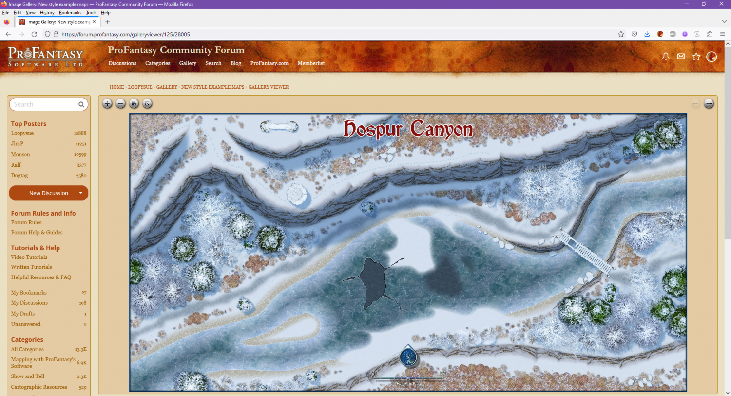
Changes to the Gallery Image Viewer
Made another tiny change to make the the forum fill the full browser width when the image viewer is loaded. This doesn't make sense for regular forum posts, because it is really hard reading texts that have lines as wide as a wide monitor, but for the image viewer, it made for a much nicer initial landing page, making it much nicer to use without having to go full screen (of course, full screen is still the nicest view of them all, and highly recommended on mobile devices)


