Monsen
Monsen
About
- Username
- Monsen
- Joined
- Visits
- 718
- Last Active
- Roles
- Administrator
- Points
- 8,999
- Birthday
- May 14, 1976
- Location
- Bergen, Norway
- Website
- https://atlas.monsen.cc
- Real Name
- Remy Monsen
- Rank
- Cartographer
- Badges
- 27
-
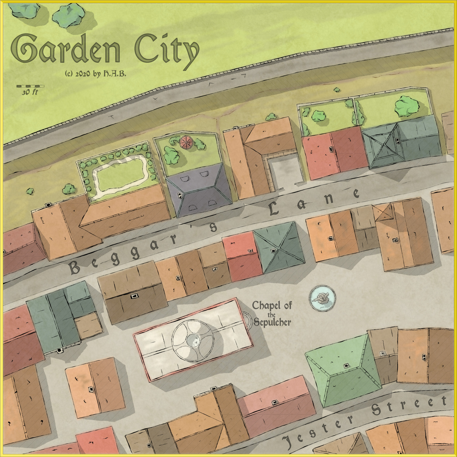
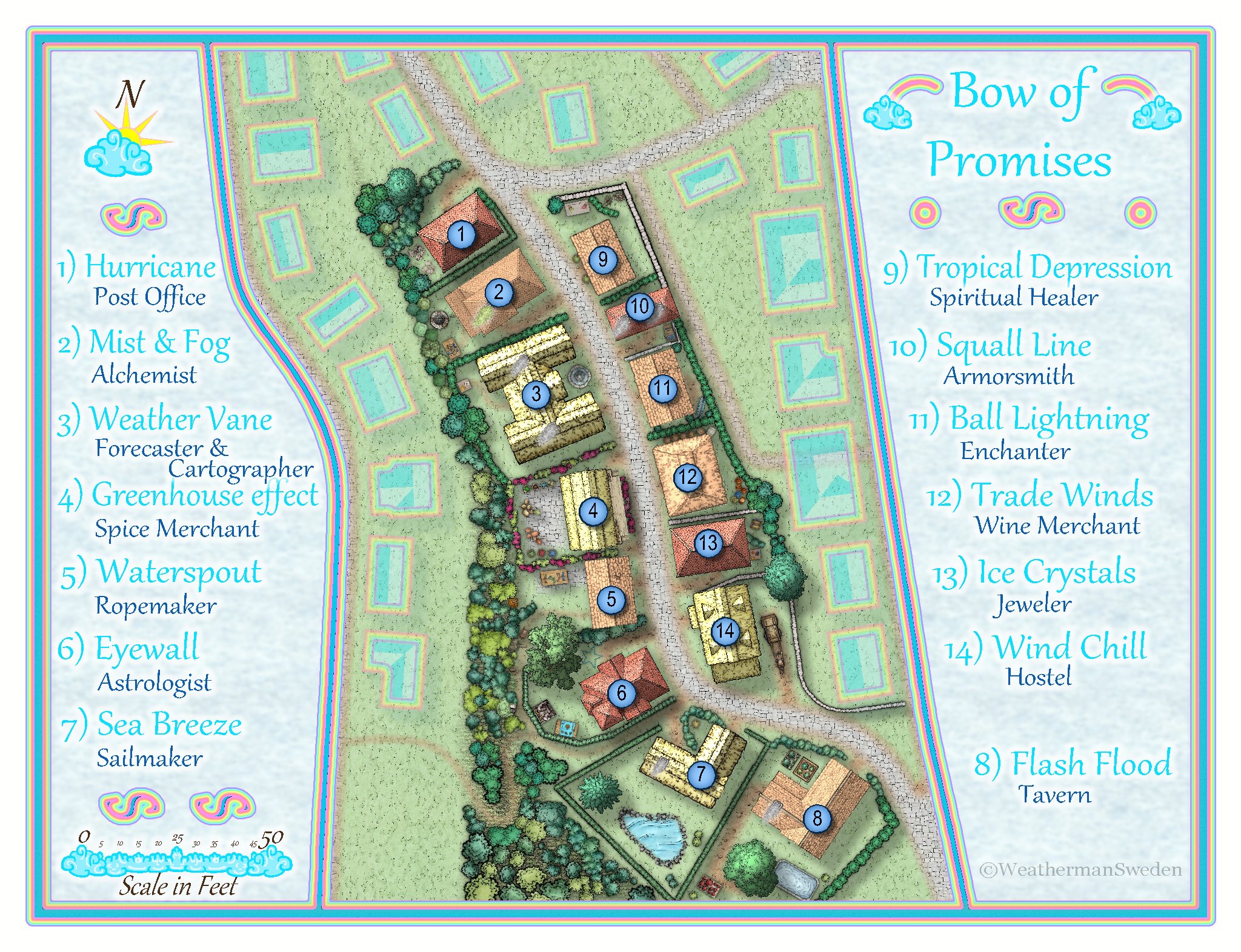
October Community Challenge - City Streets - VOTING POLL in first post
Time for voting is now over.
The winner of our little challenge here is @Lillhans with 38.89% of the votes. Congratulations.

@Maidhc O Casain and @WeathermanSweden shares second place with 22.22% of the votes each

 You have all been awarded badges for your efforts.Thanks to everyone who participated. Remember, these challenges are more about challenging yourself than something you enter to win, so please join the next one, no matter your skill level.I assume that everyone who have posted .fcw files want these included in the atlas, unless otherwise discussed. If this isn't the case, give me a note.
 -
CA167 Fills with map started with CA163?
Due to the way fill styles are defined on a per map basis in CC3+, old maps won't automatically have new fill styles.
Use Draw -> Insert file, and pick a new map that does contain the style. Now, with the map to insert on your cursor, simply hit Esc, and the fills will be inserted, but not the map itself.
-
Kingdom of Malderook - Lands of Dreswyk
-
The Red Centre
-
Kingdom of Malderook - Lands of Boonwood
You can still use html if you switch to the Wysiwyg editor. If not, you'll just have to put the hi-res link below the image instead.


