


Monsen
Monsen
About
- Username
- Monsen
- Joined
- Visits
- 723
- Last Active
- Roles
- Administrator
- Points
- 9,029
- Birthday
- May 14, 1976
- Location
- Bergen, Norway
- Website
- https://atlas.monsen.cc
- Real Name
- Remy Monsen
- Rank
- Cartographer
- Badges
- 27
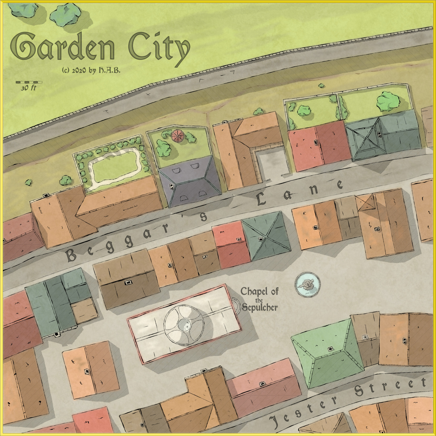
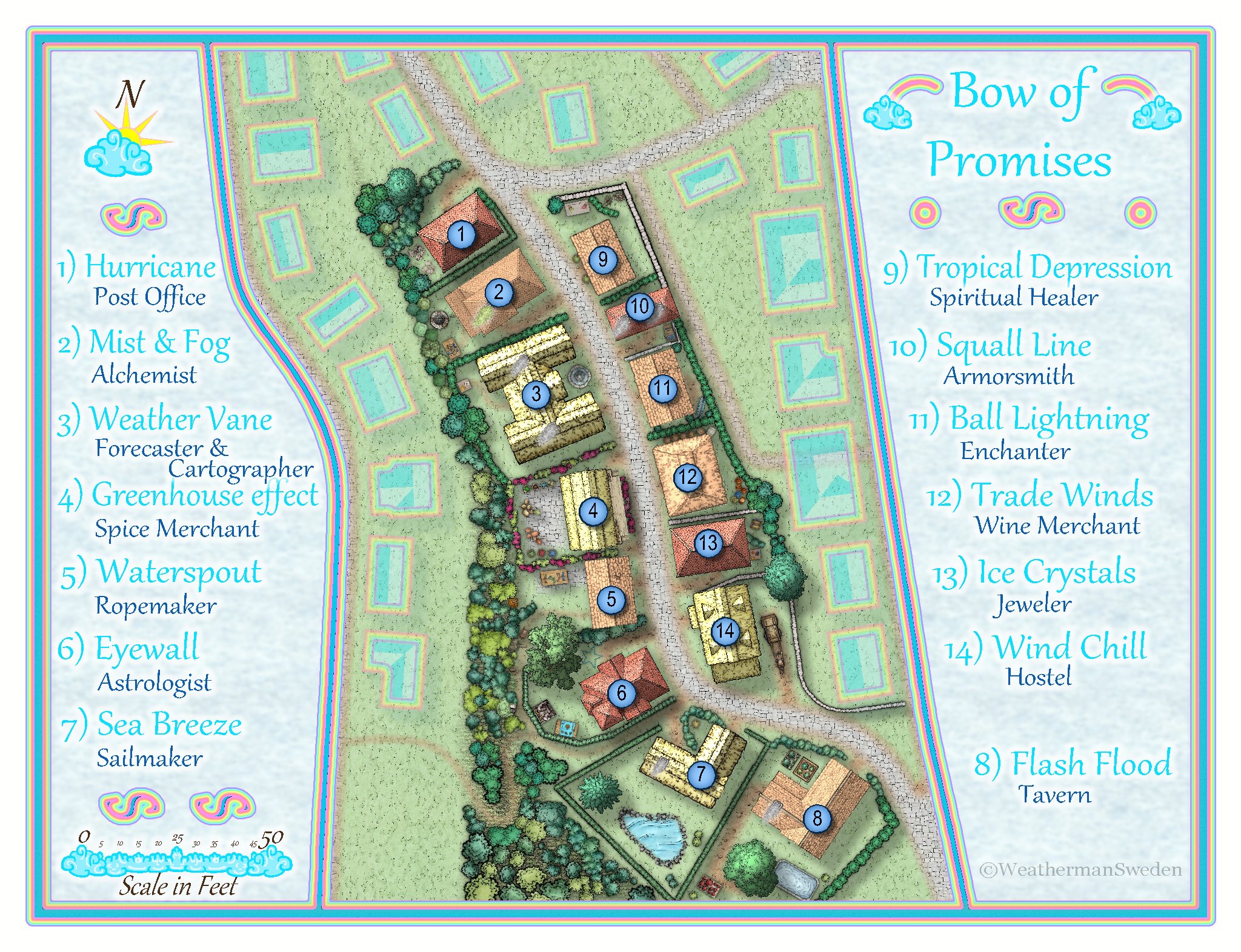
Latest Images


-
October Community Challenge - City Streets - VOTING POLL in first post
Time for voting is now over.
The winner of our little challenge here is @Lillhans with 38.89% of the votes. Congratulations.
@Maidhc O Casain and @WeathermanSweden shares second place with 22.22% of the votes each

 You have all been awarded badges for your efforts.Thanks to everyone who participated. Remember, these challenges are more about challenging yourself than something you enter to win, so please join the next one, no matter your skill level.I assume that everyone who have posted .fcw files want these included in the atlas, unless otherwise discussed. If this isn't the case, give me a note.


-
WYSIWYG Editor on Mobile
Thanks. Should be fixed now.
There is a separate setting in Vanilla for mobile editor, and that was set to be always the Rich editor, independent of user choice. For some reason, vanilla don't seem to keep these properly separated, resulting in the mobile editor being some kind of weird hybrid between those two. I've now changed the code to force the mobile editor to always be the same editor as you have selected yourself. It's working fine on my phone now at least.

-
October Community Challenge - Dunor - Oransje Klovn Street
Ralf has now reinstated those downloads, so they are now available for anyone (with DD3 and CD3 respectively) to download again.
-
New Blog Article: XP Development part 4: Interacting with CC3+
Those of you who are active blog readers may already have noticed since I did publish it a week ago, but part 4 of my XP development series is now out, and it focuses on interacting with some of the core functionality on the CC3+ side of things, namely being able to interact with macro variables and call CC3+ commands from an XP.
Sorry for taking so long for the 4th part. I love writing these, but they also take a lot of time to prepare.
![[Deleted User]](https://secure.gravatar.com/avatar/c75d9a245b74d9c59be0999ea81ca541/?default=https%3A%2F%2Fvanillicon.com%2F92add7f8c954488718110edc4896ad39_200.png&rating=g&size=200)


-
Converting old CC-DOS maps to CC3+
Since 2000px is larger than a post allows, I've uploaded all 12 images to my gallery, you should be able to grab them from there.

