Monsen
Monsen
About
- Username
- Monsen
- Joined
- Visits
- 723
- Last Active
- Roles
- Administrator
- Points
- 9,029
- Birthday
- May 14, 1976
- Location
- Bergen, Norway
- Website
- https://atlas.monsen.cc
- Real Name
- Remy Monsen
- Rank
- Cartographer
- Badges
- 27
Latest Images


-
Community Atlas 500th map and 4 year anniversary competition with prizes.
So, here's my entry. Full size version is in my gallery. And everyone else who want to participate and haven't handed in yet, remember that to participate, you do need to hand in your image in this thread before the deadline (end of February), don't forget.

![[Deleted User]](https://secure.gravatar.com/avatar/c75d9a245b74d9c59be0999ea81ca541/?default=https%3A%2F%2Fvanillicon.com%2F92add7f8c954488718110edc4896ad39_200.png&rating=g&size=200)


 and 5 others.
 -
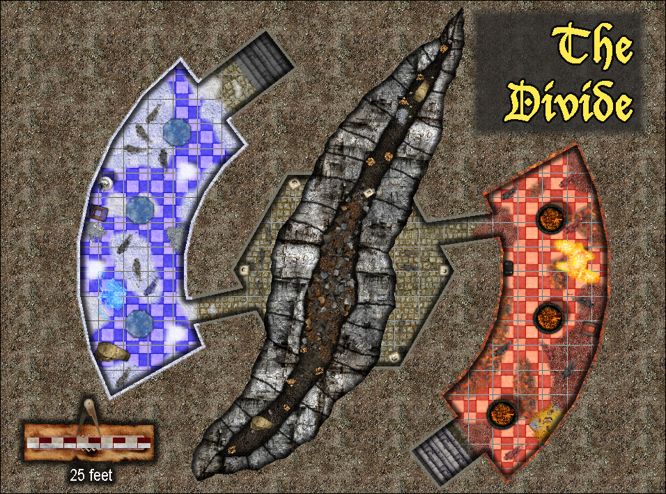
Atlas Competition - The Divide
Like this then:


-
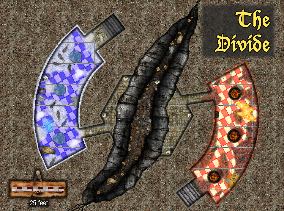
Atlas Competition - The Divide
Something like this?
-
Duplicating Effects Between Sheets.
There is a copy button in the effects dialog. Just highlight the effects to copy and hit it.

-
Atlas Competition - The Divide
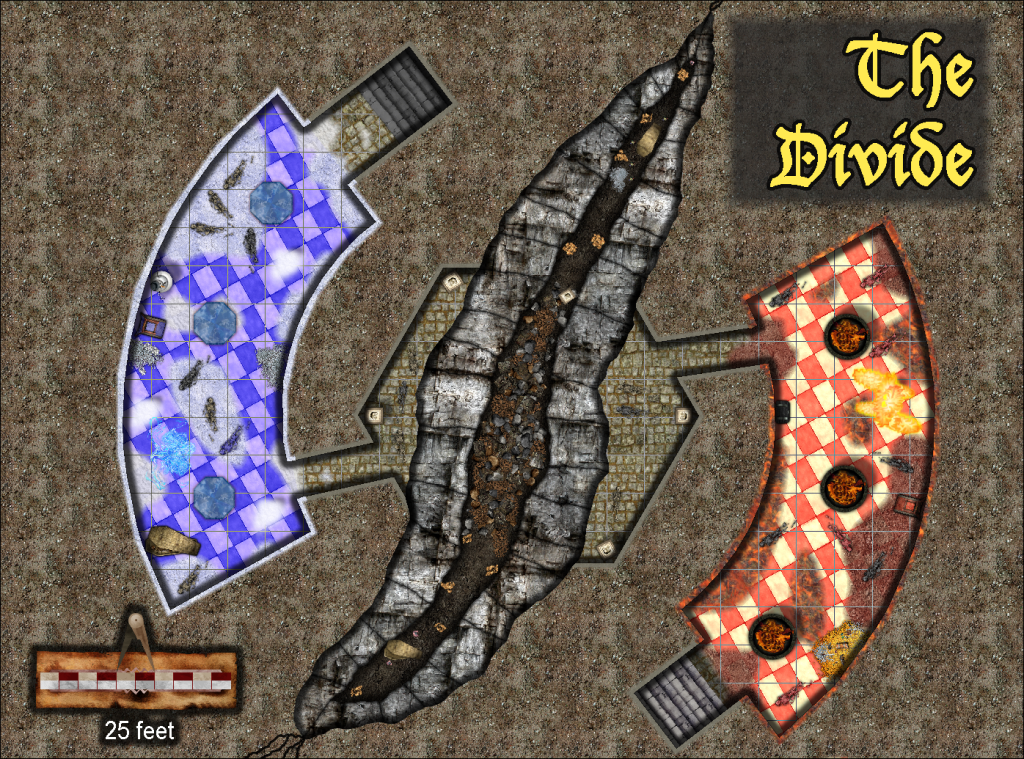
I think this is close to the final appearance for this map. Maybe some tweaks, but other than that, the map is done.
Image below shows map with a grid.
I am using a wall mask which is just the background multipolied with the floor to hide the grid and effects outside the walls. I am also using the color key effect both to break open the central room, as well as hiding the grid over the canyon.
This is intentionally a small place, but for a bigger map, pretend those are 10 foot squares instead of 5.