


Monsen
Monsen
About
- Username
- Monsen
- Joined
- Visits
- 723
- Last Active
- Roles
- Administrator
- Points
- 9,029
- Birthday
- May 14, 1976
- Location
- Bergen, Norway
- Website
- https://atlas.monsen.cc
- Real Name
- Remy Monsen
- Rank
- Cartographer
- Badges
- 27
Latest Images


-
Making new line style?
The premise is actually very much the same as in the video even for a more stylistic approach. The only way to place the perpendicular lines along the main line is by having them as symbols, but they can be very mush simpler than the symbols in the video, basically just a symbol made up from a single line. So I recommend just following the video instructions, just make everything simpler, and skip everything about effects setup, and you probably want to put everything on the same sheet since the separation was only for the sake of the effects.
It should be possible to just put all those commands into a macro that goes into a drawing tool to make a nice tool that then draw everything for you.
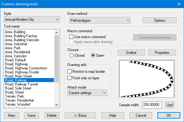
Another alternative is also to use a style similar to what is found in the "Annual Modern City" style. This tool is made by combining two lines, one solid, and one slightly narrower dashed line. This is simpler than the above procedure. but might be more stylistic than you want though, depending on the style of your map.


-
Tools not appearing...
The reason why it is not there is because CC3+ is a very style-based program, that is, the available tools and how they are set up are done individually for every style. The guides in the Tome use the CC3 Mike Schley overland style for the main tutorials, while your screenshots shows you are using CC3 Standard overland for your map. These are two different styles, the latter being quite a bit older, with different tools available.
These two styles does the sea contours a bit differently, but as Calibre said, you'll find all the drawing tools for a style by clicking the All Drawing Tools :CC2DRAWTOOLS: button. Selected tools often appear in the symbol catalog window for convenience, but it is here you will find all the tools.

-
moving grouped symbols
You're not holding down the ctrl key are you?
If you hold down the ctrl key when moving the mouse (including using the mouse accessibility keys), it will do scaling exactly as you describe.
If you are using sticky keys, depending on the config and how many times you hit the key, the ctrl key may stay enabled after using that ctrl+q for quick move causing this behaviour.
I did some testing with these settings on, and found that it is not hard accidentally enabling control.

-
Fractal Terrains Export to CC3
I think you may be misremembering. I was a bit unsure myself because I don't use this functionality too often, so I installed the older versions and tested, and none of the generated maps had links back up to the parent map.
Could you be confusing it with the html export (from the same dialog)? The HTML export do have the controls you talk about (parent, up/down/left/right)
-
How to draw a line with an arrow?
Try changing the style of the arrow heads, Tools -> Set properites -> Arrow Heads. The default settings are often WAY to small....
Or for the prettier arrows, use the WARROWD command.

