


Monsen
Monsen
About
- Username
- Monsen
- Joined
- Visits
- 726
- Last Active
- Roles
- Administrator
- Points
- 9,029
- Birthday
- May 14, 1976
- Location
- Bergen, Norway
- Website
- https://atlas.monsen.cc
- Real Name
- Remy Monsen
- Rank
- Cartographer
- Badges
- 27
Latest Images


-
Community Atlas: Embra - Villages
To make zoom-friendly glows for text, use the Percentage of View Width effect scaling option. This means the width will be relative to the current view, instead of the map. Of course, this also requires a very different size setting for the range of the glow.

![[Deleted User]](https://secure.gravatar.com/avatar/c75d9a245b74d9c59be0999ea81ca541/?default=https%3A%2F%2Fvanillicon.com%2F92add7f8c954488718110edc4896ad39_200.png&rating=g&size=200)

-
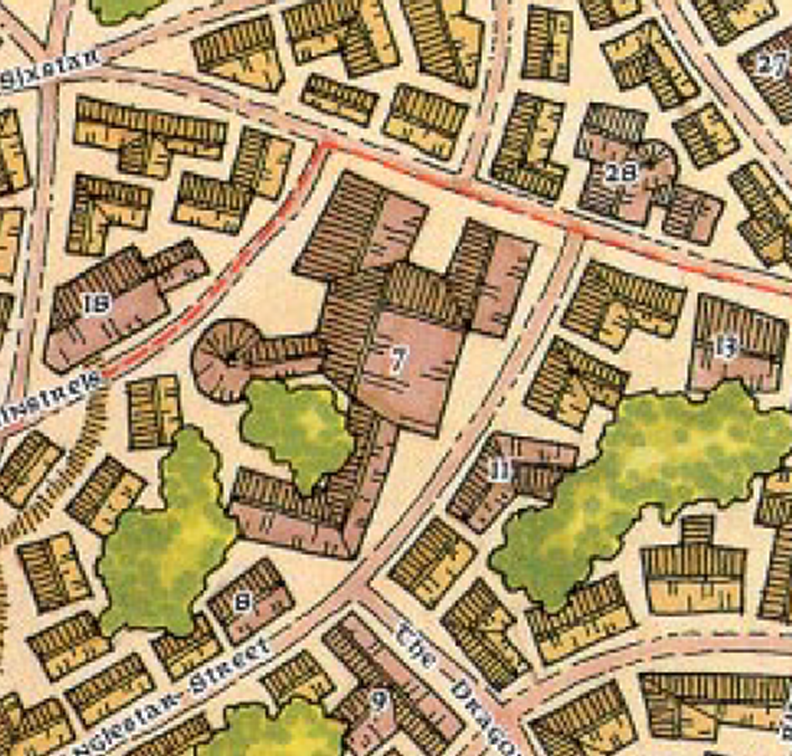
Community Atlas - Serkbergen / Peredur
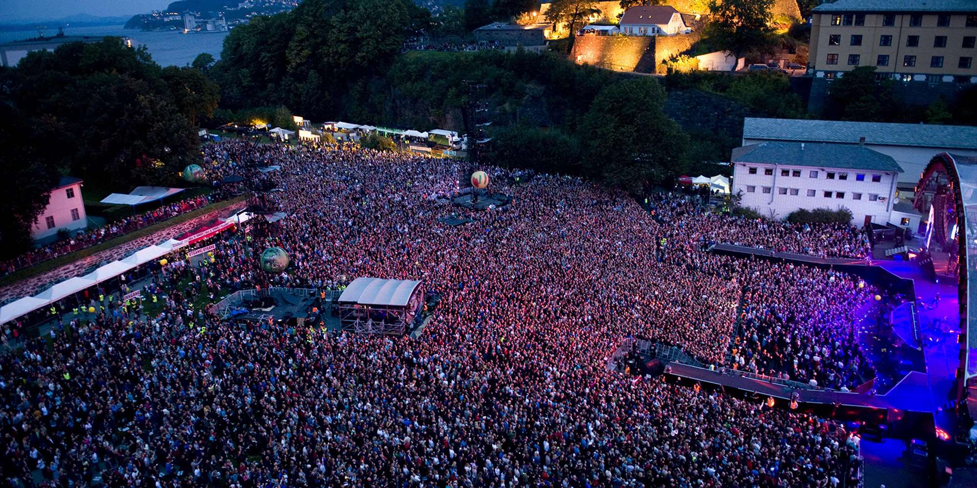
Nice. Bergenhus is an important historic site in my home town. Here's an illustration and some text of the real thing. Today, it serves as a museum and an outdoor concert arena.

-
How to create a custom template?
Ralf had a blog series about this:
He also has a live mapping session with the topic:
If you own the Tome, there is also a tutorial on this starting on page 154


-
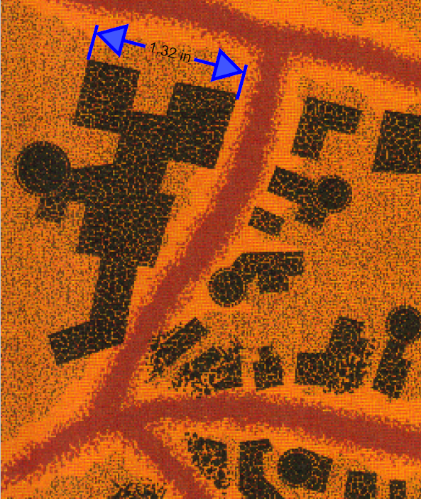
FRIA - Myth Drannor's scale
This is probably something that needs to be taken up with the original designer of the map. The FR Atlas map is just a faithful reproduction of an actual product map
The scale are from the original Myth Drannor maps from TSR.
The original Ruins of Myth Drannor Map specified 1 inch = 100 '. The non-ruin map that the one you posted is based on doesn't specify a scale as far as I can see, but it makes sense it is in the same scale as the ruins map, since it is the same place.
I looked at the original maps, and made some clips from the area around the building in the bottom left of your clip. Based on how the artist drew them, it certainly seems looks like they were drawing them like individual, to-scale buildings. But I do agree with you, the sizes is a bit large. So I'll probably chalk this down to a bit of a poor quality control with the original design. Lots of maps from those days played a bit loose with scale.
-
Reset Origin
Not sure why it happens, seems like it happens when the X-dimension gets too large. Since it preserves the aspect ratio of the image, try inserting it using 0,0 for the first corner and 10,10000 for the second corner. The 10 in the second coordinate is basically ignored because aspect ratio is kept. (But you need to use a number larger than 0, so 0,10000 doesn't work)

