


Frosty
Frosty
About
- Username
- Frosty
- Joined
- Visits
- 177
- Last Active
- Roles
- Member
- Points
- 150
- Rank
- Surveyor
- Badges
- 2
Latest Images
Reactions
-
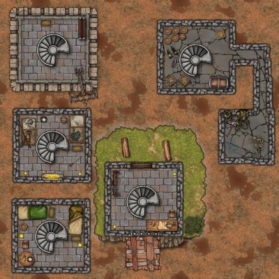
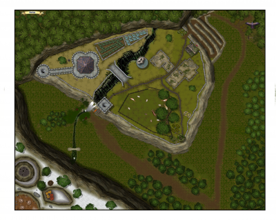
My First Map - Cthulhu Caves
When I am done will post them. Making a couple of maps using this trick. The first is one using Modern Journey where I dropped a partial map of 1920's earth in the background. And the other more involved one, that I might need to start over on, is 1923 Western South Dakota Map that I am using to get landmarks etc correct and will eventually hide it or delete it from the file. A big thanks for all the help and hopefully as I get better I will be able to give back to the community.


-
Call of Cthulhu Campaign Maps
Thanks JMAbbott I was looking at a few of those annuals and I am in 1923 SD at the moment but I have a trick up my sleave to get to Down Darker Trails. In the Maps for 1920's I was thinking of Trying the Western Style but also bring in some more modern style elements. Moody Mansions is one I have not looked at closely but will since it is in your list above.

-
Vector Mapping and natural Earth data from 2014 Annual
Hey folks, hoping someone can point me in the right direction. I recently purchased the 2014 annual and installed it and I noticed one entry was vector mapping using data from www.naturalearthdata.com. I followed the instruction and managed to convert the coastlines file and get a coastline image. The instructions then call for change properties to change the map color which seems to do nothing for me. I was also wondering if there might be a video or additional insturctions as I would ideally like to import most of the geographic data for a small map (not world) Maybe say South Dakota or part of South Dakota (USA).
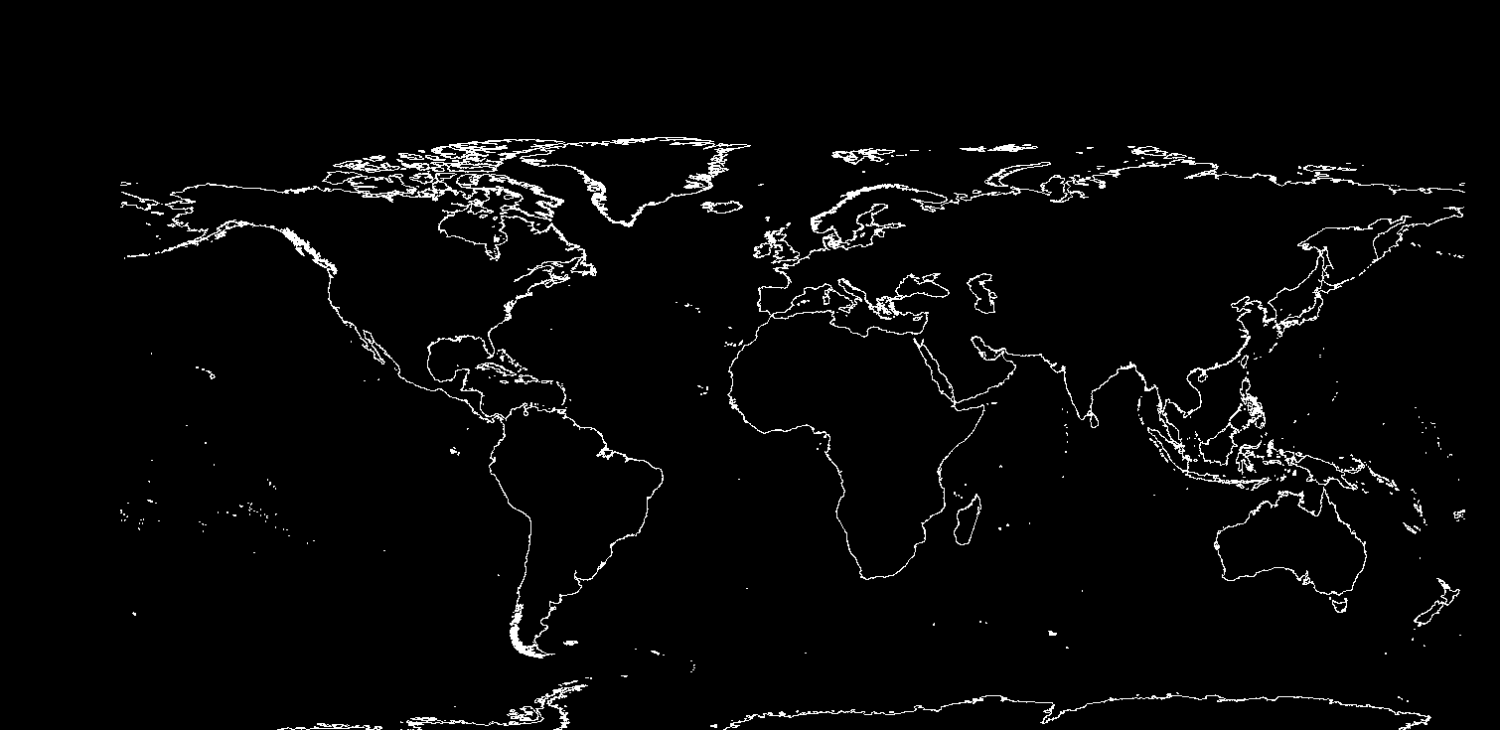
Annual instructions title - Vol 8 2014
Mapping Guide:
Using Real-world Vector Data in CC3

-
The Wittan Islands
That font your using with the interesting cahracters the O with the cross in it and the combined A and E is pretty cool. What is that? And I concur without shadows looks better, but at the end of the day it comes down to what you think looks better.
