Monsen
Monsen
About
- Username
- Monsen
- Joined
- Visits
- 718
- Last Active
- Roles
- Administrator
- Points
- 9,004
- Birthday
- May 14, 1976
- Location
- Bergen, Norway
- Website
- https://atlas.monsen.cc
- Real Name
- Remy Monsen
- Rank
- Cartographer
- Badges
- 27
-
Help with crash while exporting
When I try to work out where the problem lies, I often use a series of elimination step. Start by hiding half the sheets and testing, until I have narrowed down which sheet it is on, then do the same for the layers involved on that sheet. Then I start eliminating the entities on the sheet, half at a time.
Often, you can use quicker export options when you narrow down a problem. For example, exporting to bmp skips most of the final conversion step, and you can usually export at a lower resolution and turn off things like antialiasing, or even export without effects on. Just test with reduced export settings first to see if it still crashes, sometimes the conditions are no longer fulfilled for the crash when you do that, but if it still does, then it is no need spending 10 mins on each elimination step when you can spend 30 secs.
As for turning off progressive jpg, I have no idea whatsoever why that would help with anything. That option is used in the final conversion step, i.e. AFTER CC3+ have rendered everything, and have a complete bitmap to convert to jpg, while for me at least, it crashed during the actual rendering step long before that option can affect anything.
-
WIP: Local Map Ice Caves Exterior
I'm planning to use Ryecroft Town /and/ Spectrum Overland. So, of course, all scales are off.
Note that there isn't a single default scale for symbol that will work for both these sets of symbols, as these are not scaled in relation to each other. When mixing two different types of maps like this, you'll basically have to do a little work and experiment a bit with what scale works for the city symbols and for the overland symbols individually, and make a note of these two scales (hint: store it in a map note so it follows the map).
-
After Print - Zoom to extents shows blank white screen.
There are three entities in your map that is causing problems. Not sure how they occurred, but if you erase them, the zooming problem should go away.
These are entity numbers 114189, 114190, 115004
To erase an entity by it,s number, click :CC2ERASE: then right click inside the drawing area and from the selection pop-up, select
more->Entity Tag #. The command prompt should then show aTag #:prompt. Type in one of the entity numbers from my list above and hit enter. If you did this correctly, the command prompt should show that you have one entity selected. Now, right click again and selectDo It. Repeat for the remaining two entity numbers. -
CC3+ don't launch
Most probably there is a problem opening the map. CC3+ loads the last map on startup, so if something goes terrible wrong doing that, symptoms like that can manifest.
Easiest way is to make sure all instances of CC3+ are shut down (use task manager to kill them if required, or reboot your computer), then instead of clicking the CC3+ icon to start the program, double click on any map file instead as that will start the program with that map instead (Obviously, don't try to double click on the suspected problematic map, but try something known good, like one of the example files that came with the program)
-
Building a world from scratch
Nice work so far.
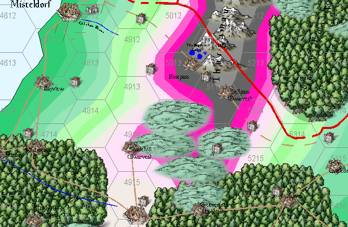
I was looking at your .fcw files, and I noticed that some of the colors around your mountain regions were a very bright pink. I am suspecting this is not intentional and is due to you having an non-default palette installed. If this is the case, I recommend attaching the palette to the drawing so it follows the file instead of having it in your CC3+ data directory as a separate file affecting all maps. You can attach the palette from the :CC2PRESETS: dialog.
-
Expansion to Ellis Prybylski Watercolor Style
A good style can never have too many symbols.
- Symbol varity is always good. Just variants of some of the same symbols would be great, like variant bridges and castles and towers and more
- Different races and cultures, as you mention elves, dwarves, halflings, orcs, but also culture-inspired like middle-eastern, far eastern, jungle tribes, aztec/maya inspired, bad/evil lands
- How about a mountain symbol with a dragon on top of it, and a volcano and a mountain with a mysterious cave
- Ships and sea monsters
- Windmills
- fruit trees
- a black cat pushing things off the edge of the map
- icebergs
- all kinds of ruins, cities, castles, towers, etc
- a snow and ice fill.
-
unsure what I've done to the border
Whenever you have issues like this, it is almost always something on the wrong sheet.
Sometimes the easiest way is to go through the sheets one by one.
If you issue the command
SAUTOHIDEONyou put CC3+ into only displaying one sheet at a time mode. You can then go to the next sheet with theSNEXTcommand or previous one usingSPREVcommand, or to a specified sheet by using theSSET SheetNamecommand.There is a small bug where the sheet indicator in the status bar says Common Sheet even if that is not the active sheet. Issuing a REDRAW command (or Ctrl +R) updates this to show the proper sheet.
Once you have identified what is wrong, which should be obvious when you work through the sheets like that, you can turn normal sheet display back on and show all sheets with
SHOWSHTF *. -
Merging 2 overlapping landmasses
Yes.
Editing a landmass is done using the same drawing tool you used to create it. Start the drawing tool, and if you look at the command line, it should offer you the option of pressing E for 'Edit'. Doing this will allow you to add to or remove from an existing landmass, by basically drawing the coastline again between two nodes. Just follow the prompts on the command line.
To merge two landmasses, you should delete the black outline of both landmasses first, then use Break [BREAK] to remove the parts of the landmasses where they will join (This will remove the fill of the landmass, don't worry about it, it will be restored), then use combine paths [CMB] to combine the outline paths into one path, then use Path to Poly [CLOSEPATH] to close up the polygon again (This will return the fill to the landmass). Finally, use outline in Black [OUTLINEB] to give the landmass an outline again. Now, if this results in some long straight connecting lines between the landmasses because they were a bit apart, use the Edit functionality as mentioned above to replace the straight line with a better coastline drawn by the drawing tool. -
Creating Symbol Catalog issue.
-
Odd behavior using Trim command
Trim does this when operating on splines. The reason is that the shape of the spline is dependent on the positions of the nodes, including the following nodes, so if you simply cut it and placed a node at the end, the shape would change.
Since CC3+ is a CAD program, having the rest of the shape change shape isn't really acceptable, so instead when you trim a spline, it just hides the rest of the shape instead of removing the nodes from the entity.


