


Quenten
Quenten
About
- Username
- Quenten
- Joined
- Visits
- 8,145
- Last Active
- Roles
- Member
- Points
- 3,110
- Birthday
- November 29, 1950
- Location
- Australia
- Real Name
- Quenten Walker
- Rank
- Mapmaker
- Badges
- 16
Latest Images


Reactions
-
My version of Lankhmar
This is obviously going to be slow going. But here is another block done. I will try to get a block done a day - see how I go - lol!!
I am using variants of the geomorphs that have been published. I have them as bitmap files and I insert them into the drawing as required.
For the main map, I am using this version: https://www.worldanvil.com/w/nehwon-ptahsekhet/map/30d7881c-3b29-439b-9f07-e29430492207
Here is today's extension. Still not happy with the roof fills, or the street fills, but they will do till I get the city complete. Easy to change over the fills.


-
Live Mapping: Handdrawn Fantasy - Bitmap vs Symbol Fills
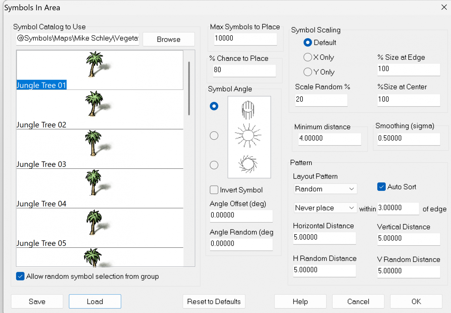
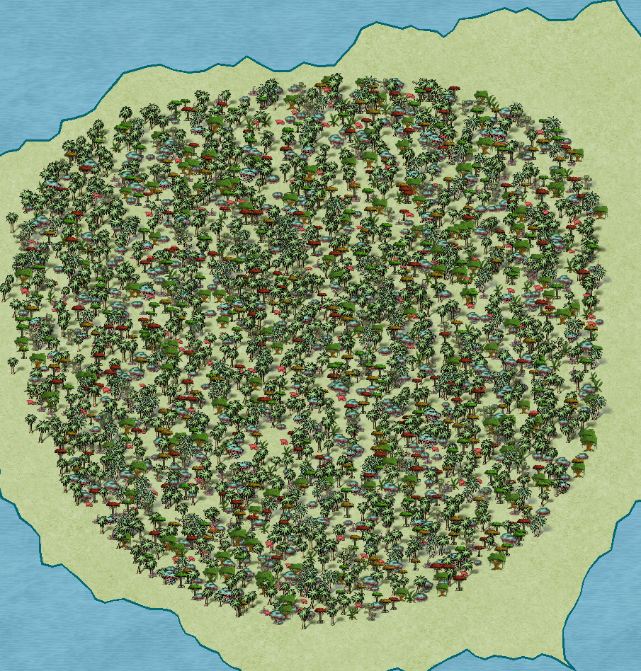
And for fun, an exotic jungle drawing tool.


-
Tatilana - Western Sergeevna
This is a quick map made in the new Silverman style (thank you Dan), showing a civilized area of the focus region for our new world. Not many labels.
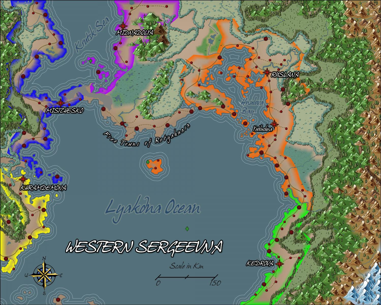
This is the area I got from my master map


-
Tatilana - Western Sergeevna
Update. The style is getting more to what I want. I have altered the mountain contours, and added ethnic groups, plus national borders, some forests and a marsh, and some more names.
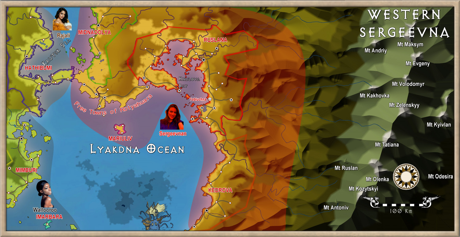
Sorry for the small text, but it is meant to be viewed at a larger canvas. When I have finished the text, I will put a 8Mb version in the gallery.


-
Ukadarlia
Finally, the main focus of the project:
The country of Zelenahavan (means Verdant Haven, or Greenharbour).
Two major ethnic groups: the Vynlings and the Kratirim, with all the tensions that this will imply.
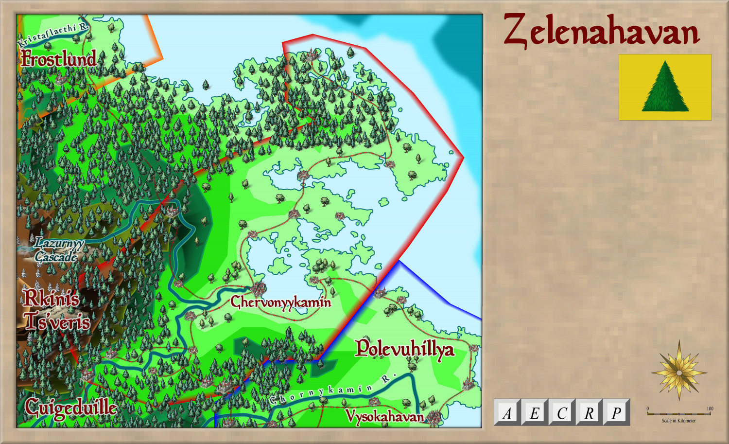
More detail on this will come of course.


-
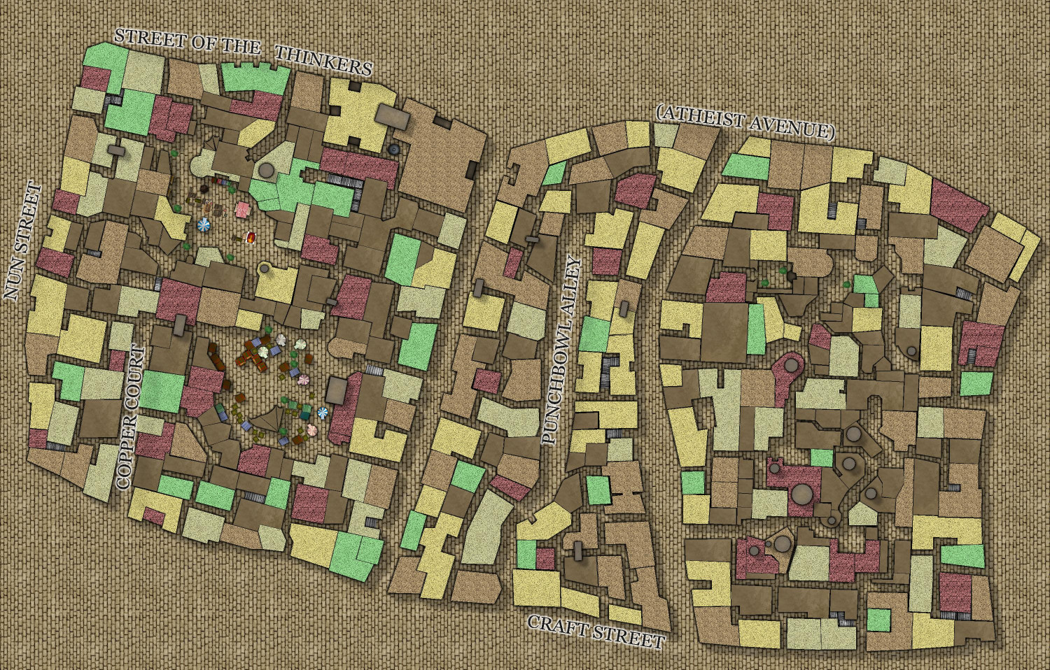
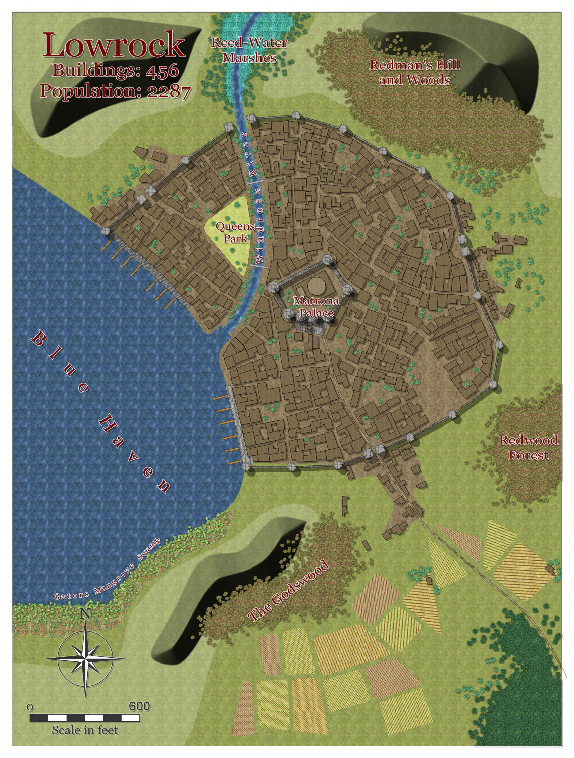
Watabou City REVISED (annual 157)
Here is a revised version of the Drawtools. so far, they all work with the Change Like Draw Tool command, including the towers and fields, which was not the case in the original watabou annual.
A bit more work needed on the effects to get it all to my satisfaction, but I think the drawing tools are now ready to go.
I guess the next step is to do an example map.

I need to work out how to revise the scaling of the Hatch files, and how to make sure they are imported into the style, so people can access them if they need to alter the dimensions etc


-
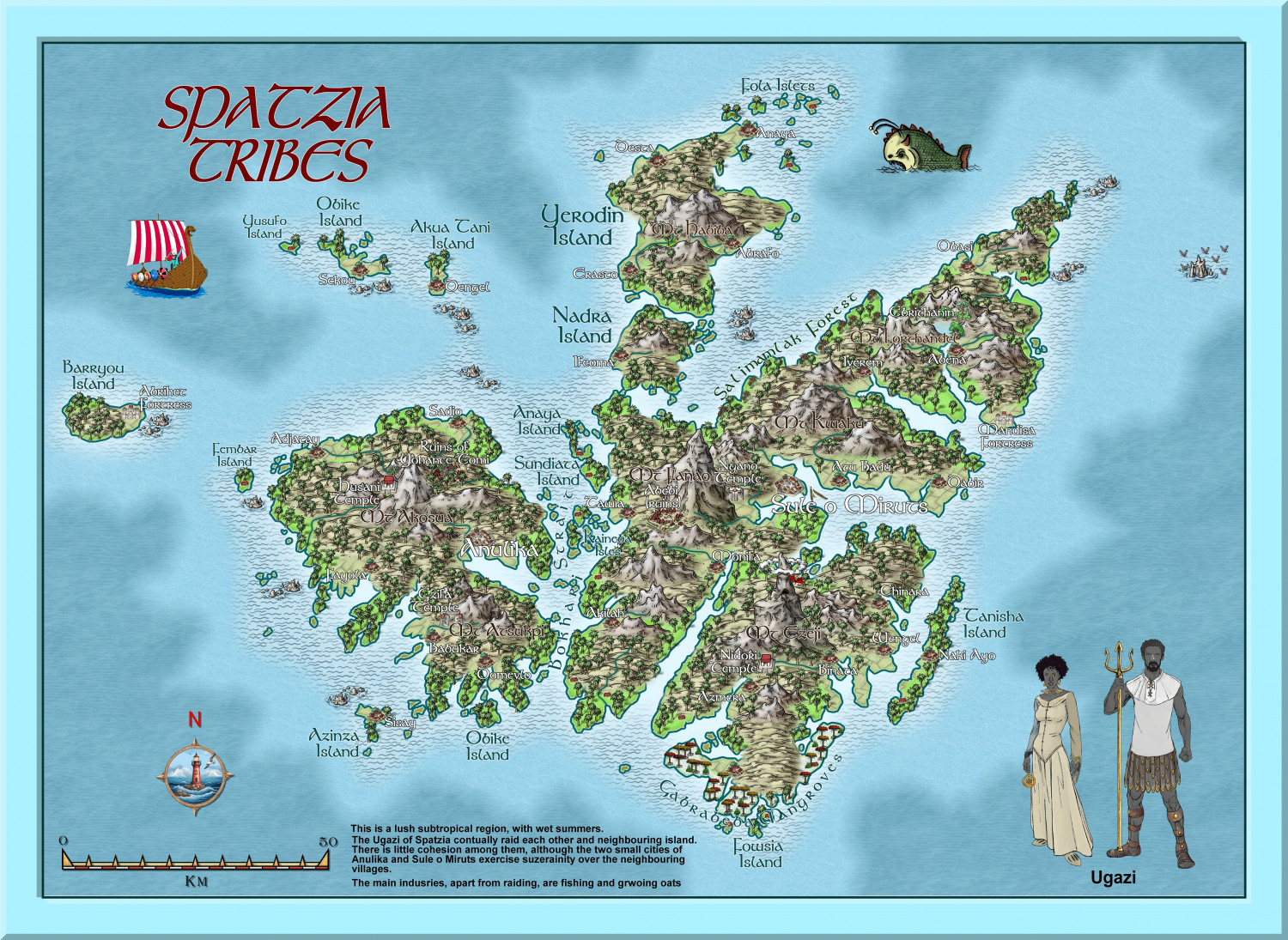
Hardin region of Myirandios
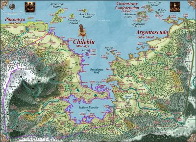
Another region completed - barbaric black-skinned raiders (of each other as well as other island groups), with a religion that practices human sacrifice to some degree - a mixture of full-on Viking and watered-down Aztecs, set in a subtropical archipelago. Which is based on somewhere on earth that most Europeans will recognize as being anything but subtropical - LOL.
Large version in the gallery:
Image Gallery: Hardin — ProFantasy Community Forum

-
Watabou City REVISED (annual 157)
The final step is adding all the extra bits and pieces - forests and trees, wetlands, roads and squares and city backgrounds, hills and contours, maybe extra buildings, buildings and towers on top of one another, even a gatehouse to replace the open walls in some places. And text and scale and compass, of course.
Here it is, partly completed.


-
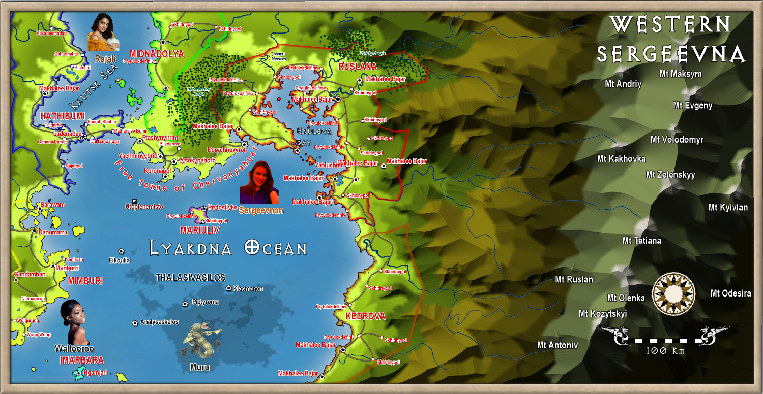
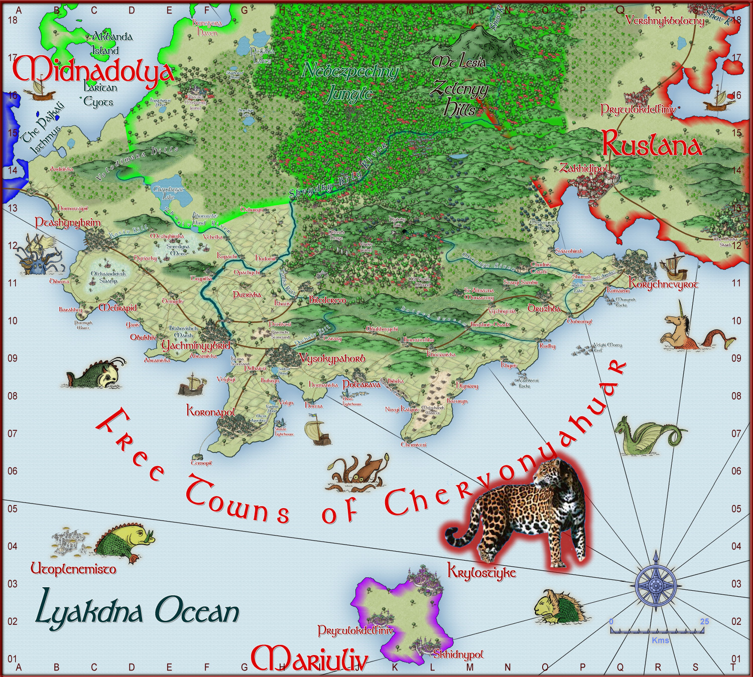
World of Tatilana - Free Towns of Chervonyahuar (Red Jaguar)
Here is a regional map of Western Sergeevna. It is the free towns of Chervonyahuar (Ukrainian for Red Jaguar). It is a tropical region.
Not yet complete. Larger version in gallery


-
Community atlas - Tombs
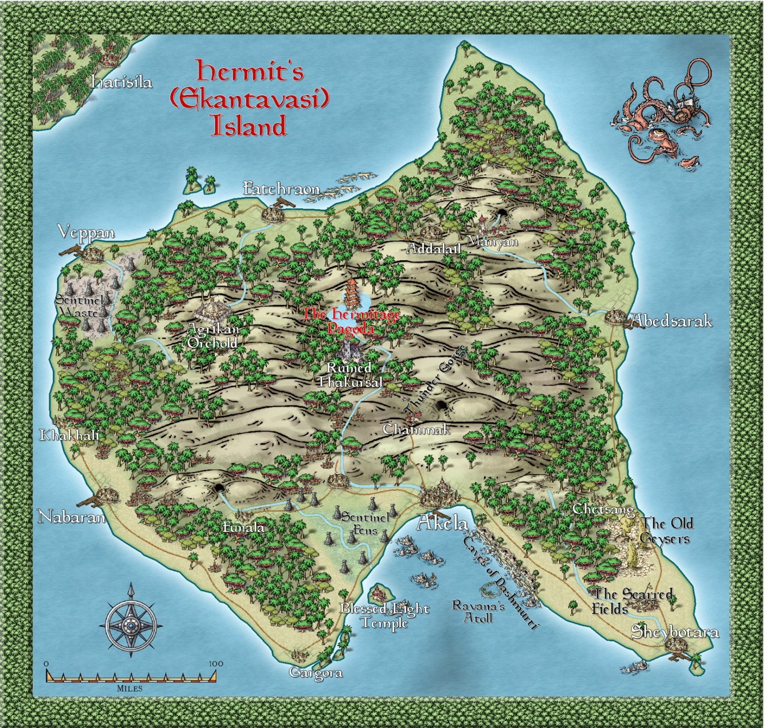
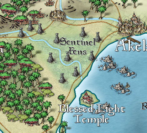
This is the Hermit island (the second version) set in Alarius.
I have only given examples of the maps I did - it is yo to others to suggest site on their maps.

