Loopysue
Loopysue
About
- Username
- Loopysue
- Joined
- Visits
- 9,996
- Last Active
- Roles
- Member, ProFantasy
- Points
- 9,871
- Birthday
- June 29, 1966
- Location
- Dorset, England, UK
- Real Name
- Sue Daniel (aka 'Mouse')
- Rank
- Cartographer
- Badges
- 27
-
Fantasy B&W Map
Ah. Sorry Julian - I got the toggle the wrong way around.
Now you've got it working you can experiment with other lighter parchments, or reduce the opacity of the Blend Mode.
Whichever - if you are wanting to print your map eventually on specialist paper or into a book, you would probably want to produce it without the parchment effect.
-
My first completed map utilizing CC3+
-
My first completed map utilizing CC3+
Hi Sam :)
I can see that you have spent some time thinking about this map. It shows in the details.
I have to confess that a wall of text is not an easy thing for me to absorb and process all in one go, so my comment is a general suggestion more than anything. I can also see that you're already doing some of these things.
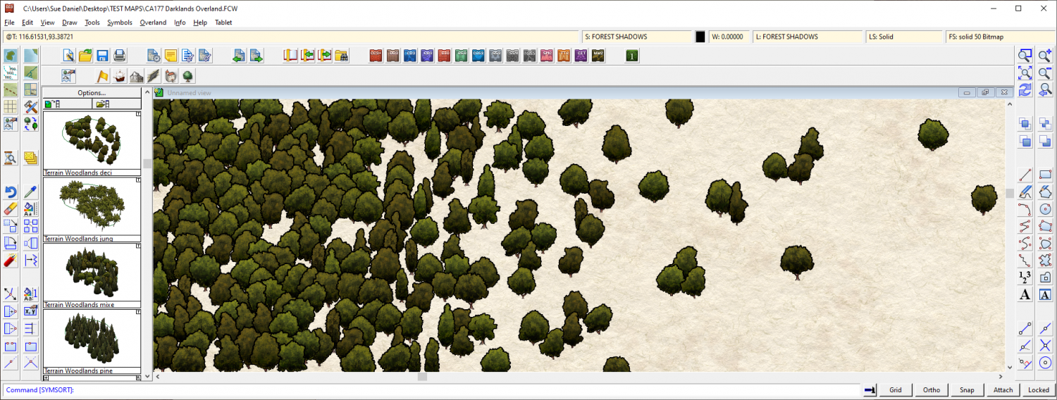
When you start a map get the coastline set down first and then lay down the mountains, deserts, plains, rivers, swamps and forests in that order, and spend some time tweaking each of those things as you work until you are happy with the entirety of the wilderness in its natural state. You might need to increase some of the Edge Fade Inner widths to make the blending of terrains look more natural, for example. I am forever doing that in my own overland maps, and can end up with EFIs that are hundreds of miles wide. But that's how it is in the real world. Normally anyway, unless mankind has interfered with irrigation or by mowing down the forest. Where you reach the edge of a forest and want to blend it into a more open savannah landscape, The trees need to be placed more gradually further apart, rather than suddenly being more spaced out. Its more of a sliding scale than a sudden change - a gradient fill of trees. Notice how they also tend to grow in small clumps of 3 or more. Isolated large trees with even spacing is more orchard-like - more manmade.
Once you are happy with your uninhabited world you can then consider where the best soil would be for farmland and how easy it would be for early settlers to get to it and use it. Then clear some of the forest or plough some of the plains and finally place the settlements where they would be most likely to occur, given the local availability of food, resources, trade and defendable situations.
Most villages grow up where fishing, mining, trade or farming is good. Those among them which also find themselves to be on a major trade route for everyone else also tend to become market towns, places of worship and administration - eventually cities if they also happen to be not too difficult to defend.
All of these are considerations I use myself. Some of them you might not agree with, but we each have our own way of working out what goes where. I hope at least some of it helps :)
EDIT: I forgot to say (because I was too busy trying to write suggestions without rambling too much) that's a pretty good map as it is :)
-
Festive Winter Card Challenge WIP: Frosty Village
-
Festive Winter Card Challenge - Ended - Please vote for your favorite


