Loopysue
Loopysue
About
- Username
- Loopysue
- Joined
- Visits
- 9,983
- Last Active
- Roles
- Member, ProFantasy
- Points
- 9,863
- Birthday
- June 29, 1966
- Location
- Dorset, England, UK
- Real Name
- Sue Daniel (aka 'Mouse')
- Rank
- Cartographer
- Badges
- 27
-
Community Atlas - Blackrock WIP
-
Fix Grid and Snap?
Yes, I've seen your page before.
Very impressive :)
I'm not so much into animation, having set a PC on fire one night a few years back when something went wrong on an 18 hour render. A person has to sleep eventually! That was the one I threw out of the window before it set the rest of the flat on fire.
I keep a fire extinguisher in the room these days ;)
-
October Community Challenge - Faeridge
I think it has much more character in it now. You have added your own personal little details without going overboard too far and just cramming it with lots of meaningless things.
How about if you straightened that little road to the fountain and made it end at the fountain by placing a dead end circle of road like a path around the fountain. And then, how about placing the fountain on a sheet of it's own without the shadow effect so that it sits on the ground?
-
Random Houses using CA161?
The House tool (and the Street tool, because that is dependent upon the House tool) uses filled and shaded polygons to construct each roof. The tool has limitations because of this, particularly where the style has details such as broad and detailed ridges, since all the House tool can do is a line of a fixed colour for these things.
It can also only do certain shapes of house. However, you can still do some quite complex things with House by combining 2 or more separate house entities as one building. This blog is about drawing cliffs, but I've linked it here because the city itself (with the exception of the open courtyard buildings) is made entirely of CD3 Bitmap B houses - and the FCW is available if you want to have a look and see how the more complicated shapes were made.
-
Random Houses using CA161?
-
Supplemental to Humble Bundle
Hi Punch :)
You seem to have quite a solid toolbox kit there. I hadn't realised quite how much of a good deal the last bundle really was!
The remaining stuff is mainly the annuals, which are sets of styles and tools or tutorials issued once a month and bundled into a year each year.
If you want to have some idea of what there is in the annuals you could use this thread here, where I created a wall of links to all the issues in one place.
If you like one of the issues you have to buy that year's annual, since the issues are not sold separately.
-
October challenge: City Street submission WIP
-
FT3 to CC3 export
This comes up a lot when people first use FT3 to generate maps for CC3.
The thing you see in FT3 is a heightmap with a smooth transition between all the thousands of individual data points describing your world.
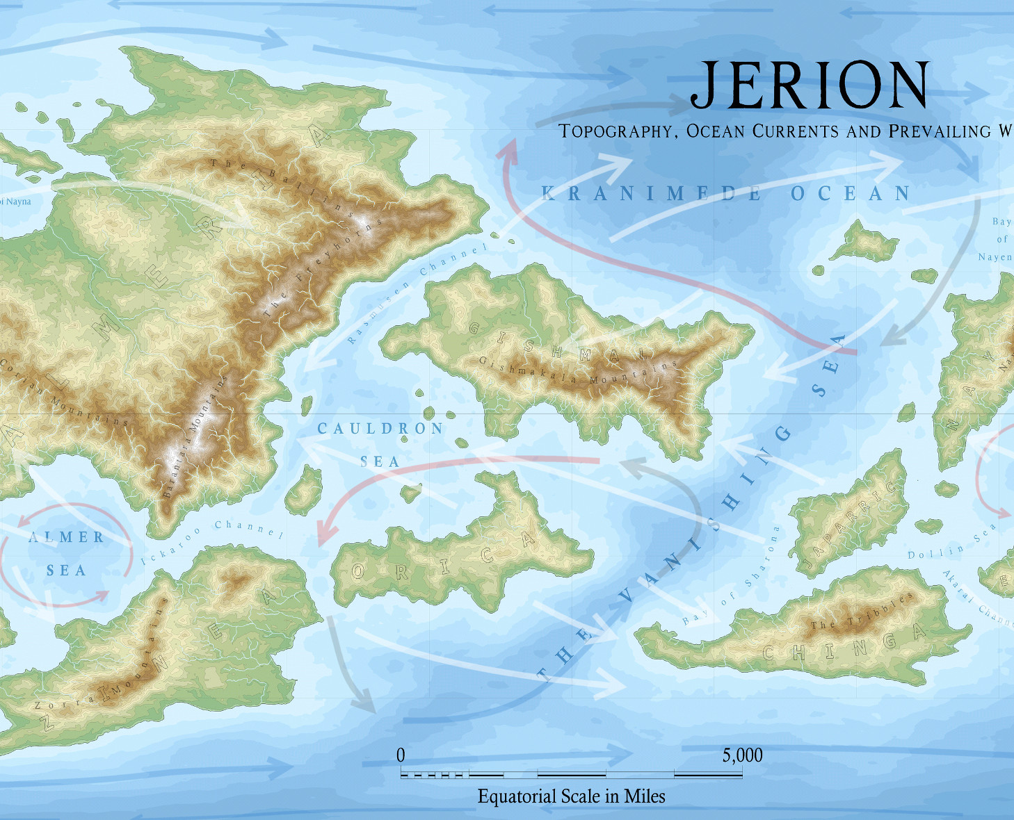
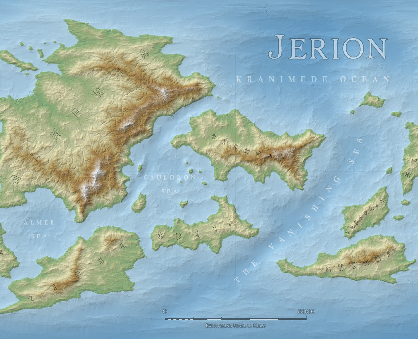
CC3 cannot yet express heightmaps as anything other than a bitmap image exported from FT3 and imported as that same a bitmap to CC3. Here are two example extracts of CC3 maps generated in FT3 and processed in two different ways, taken from the 2019 Cartographer's Annual November issue (CA155).
https://www.profantasy.com/annual/2019/2019-cartographers-annual.html#November
This first one is a contour map.
While this second one is the same extract using a bitmap background.
Both these maps have been taken through a step by step erosion process described in the above mentioned annual using a free app called Wilbur, which you can download and install here...
...and have colour schemes provided in the annual.
So to summarise there are 2 ways of getting a similar result to that seen in FT3. The first example is done by contours and self contained, and the second example is a bitmap image background that requires you to keep the bitmap in the same folder as the CC3 map that uses it.
-
Marholt - png map to FT3 - a commission
Looks great, Quenten :)
The thing about hand sculpting a world is that it is difficult to get all the mountain ranges to the exact same height across the globe. What normally happens is that you end up with just one mountain range being the tallest, with all the others graded below that maximum. Its not so bad if you really take care of what you are doing at the sculpting stage and try to stop just as you hit the red gamut marker for each and every range. That way, they will all have at least one mountain that is around 30,000 feet.
-
WIP: Irish-themed islands
I think this unnatural aversion to long slightly curved sections of coast we all seem to have may be why we find it so difficult to generate natural looking coastlines.
Straight coast tends to happen where the hinterland is rather flat and geologically homogenous, so that erosion doesn't eat little coves into it over time in the softer rocks.
It would only be unnatural to have long straight bits of coast if all the coast in the world was like that.


