


Loopysue
Loopysue
About
- Username
- Loopysue
- Joined
- Visits
- 9,968
- Last Active
- Roles
- Member, ProFantasy
- Points
- 9,853
- Birthday
- June 29, 1966
- Location
- Dorset, England, UK
- Real Name
- Sue Daniel (aka 'Mouse')
- Rank
- Cartographer
- Badges
- 27
Latest Images


-
Merry Christmas, Happy Solstice, and Happy New Year!
We're very happy to have you around, Royal :)
Happy Christmas, solstice and New Year back at you.


-
Birdseye Continental - style development thread
Snowflakes have 8 points if I draw them :)
Arctic version of the same symbol.

-
IDEA: Terrain over cutout rivers
Another alternative I've used in the past is to have the land as the background with all the terrain on top of that, and then add the water - a bit like a city map, but overland. I call it "sea over land". I think Darklands Overland is done that way. Birdseye Continental is definitely done that way. Oceans and rivers are drawn on the same sheet. A Color Key is used to cut island continents out of a rectangular map-covering ocean, and regular non-Color Key rivers drawn on top of the land and terrain on the same sheet.
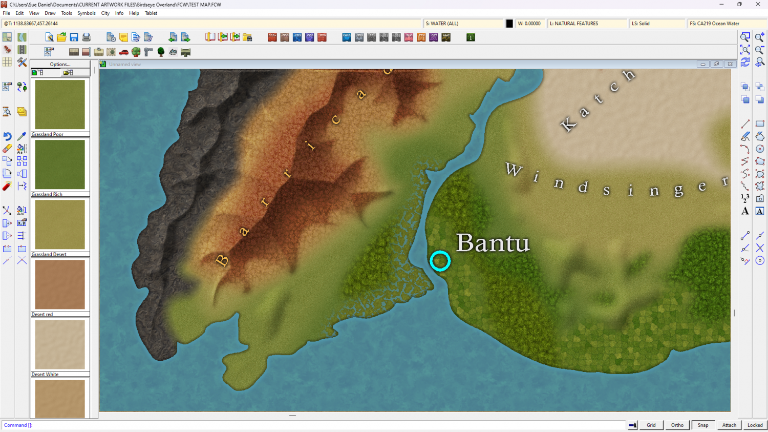
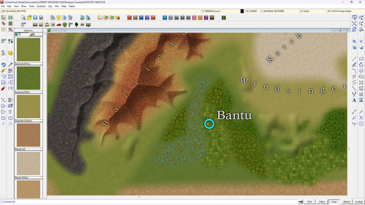
However, when you are revisiting an oder style it's best not to make major changes when the older style was originally what I call "land over sea". It's too confusing for new mappers.

-
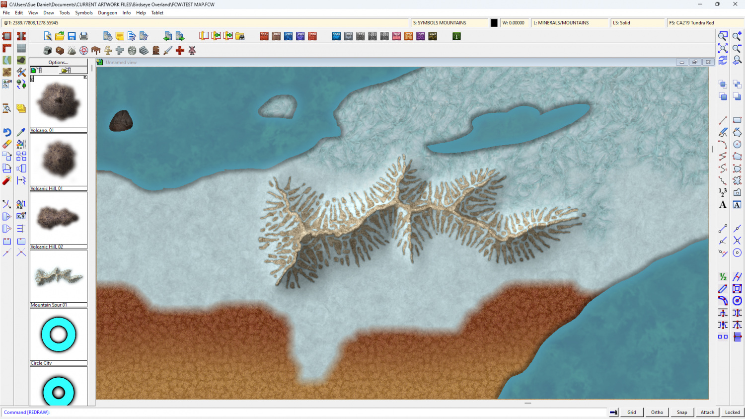
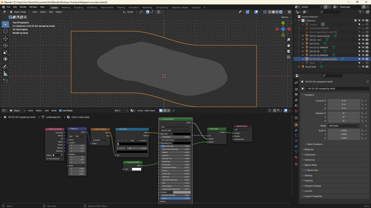
Birdseye Continental - style development thread
I thought you might like to see some of the process involved in creating the mapped mountains.
Here is the first prototype ridge - a simple edge faded thick line of the red tundra and a rocky texture for the spine.
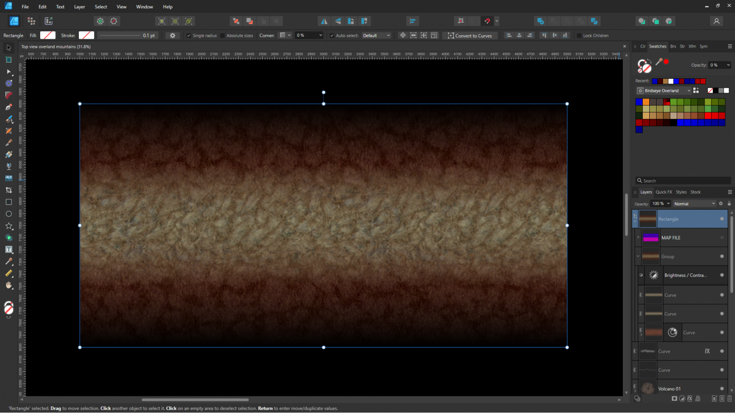
And here it is in CC3 combined with a crude map file to test colours.
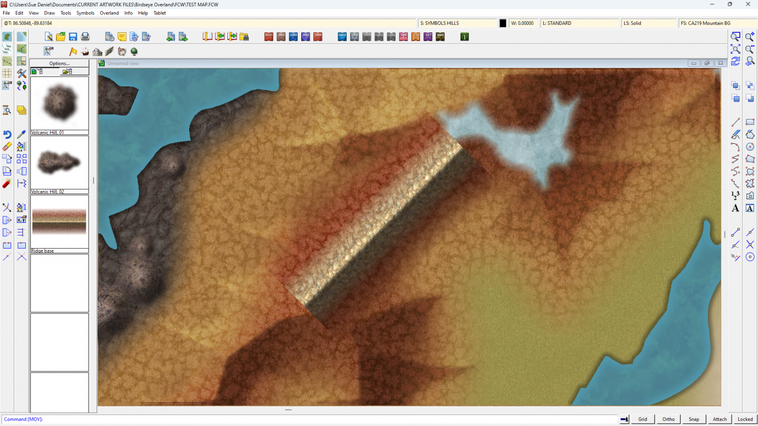
Don't worry - the volcanoes were just as crude when I started with them. This is just the initial stage - working out textures and colours.
-
Exploring the Annuals
If you click Add-ons in the Tools menu it will show you a list of all the add-ons and annuals you have installed. If you pick one of the annuals from the list you will be taken to the relevant webpage with a short description and links to the all the issues Mapping Guides. That will probably be more efficient way of finding things than having to search a huge volume of them all stuck together.
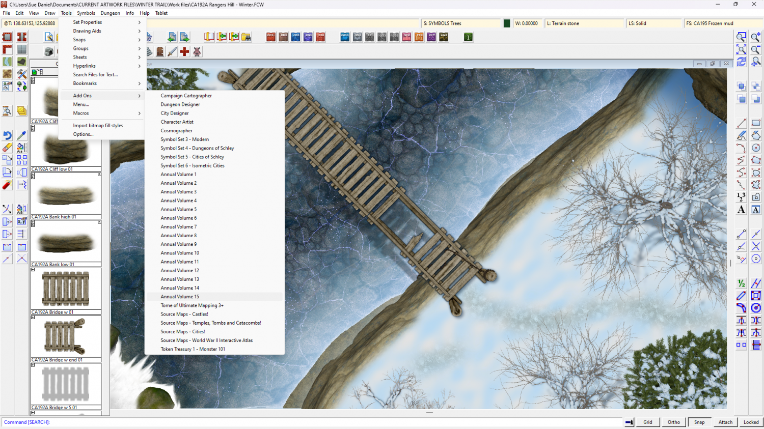
If you just want to look at a page of thumbnails to remind yourself of what's in each one, there's a slightly out of date one here:


-
Birdseye Continental - style development thread
They're solid grey, just a bit darker than neutral grey, and because they are mapped symbols I can use an Overlay Blend Mode to make them take up the colour of the terrain.
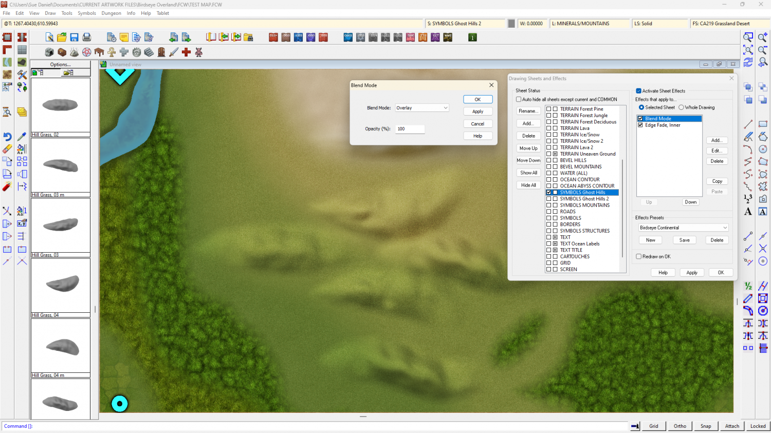
The blend mode does odd things around the edges if I feather the edge of the symbol, so the EFI after the Blend Mode is to soften the base and help the hill sit into the terrain.
They're relatively simple map files, exported from Blender. I made a material that could mimic a map file and put it on a very simplified 'Landscape' object. The blue part of the map material is a simple blue material that reflects more or less light from the 'BLUE SUN' directly above it. The red part of the material is a radial gradient based on the normals of the object faces, and expressed as an emission, rather than reflected light. That way it stays constant depending on the direction each face is facing, and regardless of the sun.
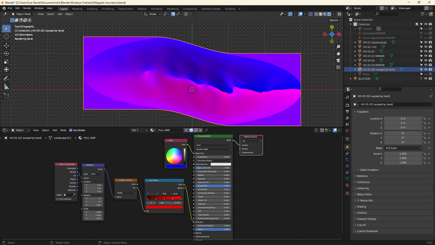
The grey image is a gradient material that maps only the parts of the ladscape above a certain point.
-
Several maps for (random forest) encounters
The default sun position in CC3 is from the north west. That's because most modern atlas maps with hill shading are shaded as if lit from the north west, even though the sun is only ever in that direction for real if you live in the southern hemisphere. The reason for this is that the human brain expects to see things as if shaded from 'above', as if the map is hung like a picture on a wall. It's easier for us to see the shape of those shaded hills.
That's just a lot of possibly quite useless information there, but it is the reason the default sun position is 315 degrees. I tend to leave it there unless there is a reason for changing it - dramatic effect, or some other reason.
But again - as Dalton says it really is a matter of personal preference.


-
Banners
(6 symbol connectivity test using the "bright" version of Title A style)
![[Deleted User]](https://secure.gravatar.com/avatar/c75d9a245b74d9c59be0999ea81ca541/?default=https%3A%2F%2Fvanillicon.com%2F92add7f8c954488718110edc4896ad39_200.png&rating=g&size=200)
-
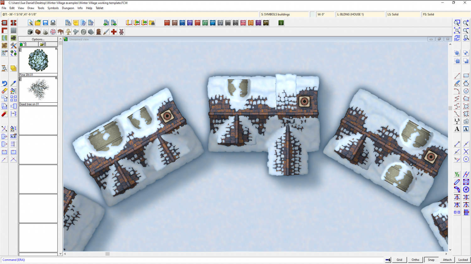
Winter Village style development (March 2022 CA issue)
Having fun with different kinds of dormer. This is the same basic building...

-
Sinister Sewers - Style Development Thread (CA207)
LOL! I know! The terrible sad truth is that I didn't even think of that until I already posted it.
I'm a really dozy artist.
It's like the time I bellowed out of the window at two drunken yobs sitting on a bench talking at the tops of their voices at 3am. "Do you mind! Some of us are trying to get some sleep around here!"
The next morning I mentioned that I was astonished at how quickly these yobs vanished without any backchat or anything offensive being said and was puzzled by the way my housemates started falling about laughing.
It didn't occur to me until it was actually pointed out that we were sharing a house at the gate of a graveyard, and the bench was inside the graveyard.

