Royal Scribe
Royal Scribe
About
- Username
- Royal Scribe
- Joined
- Visits
- 9,534
- Last Active
- Roles
- Member
- Points
- 3,353
- Birthday
- February 5, 1968
- Location
- San Francisco, California
- Website
- https://legacy.drivethrurpg.com/browse/pub/31814/Royal-Scribe-Imaginarium
- Real Name
- Kevin
- Rank
- Mapmaker
- Badges
- 16
Reactions
-
[WIP] Per-Nezahd
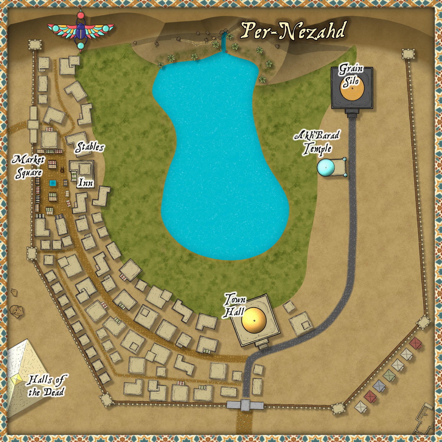
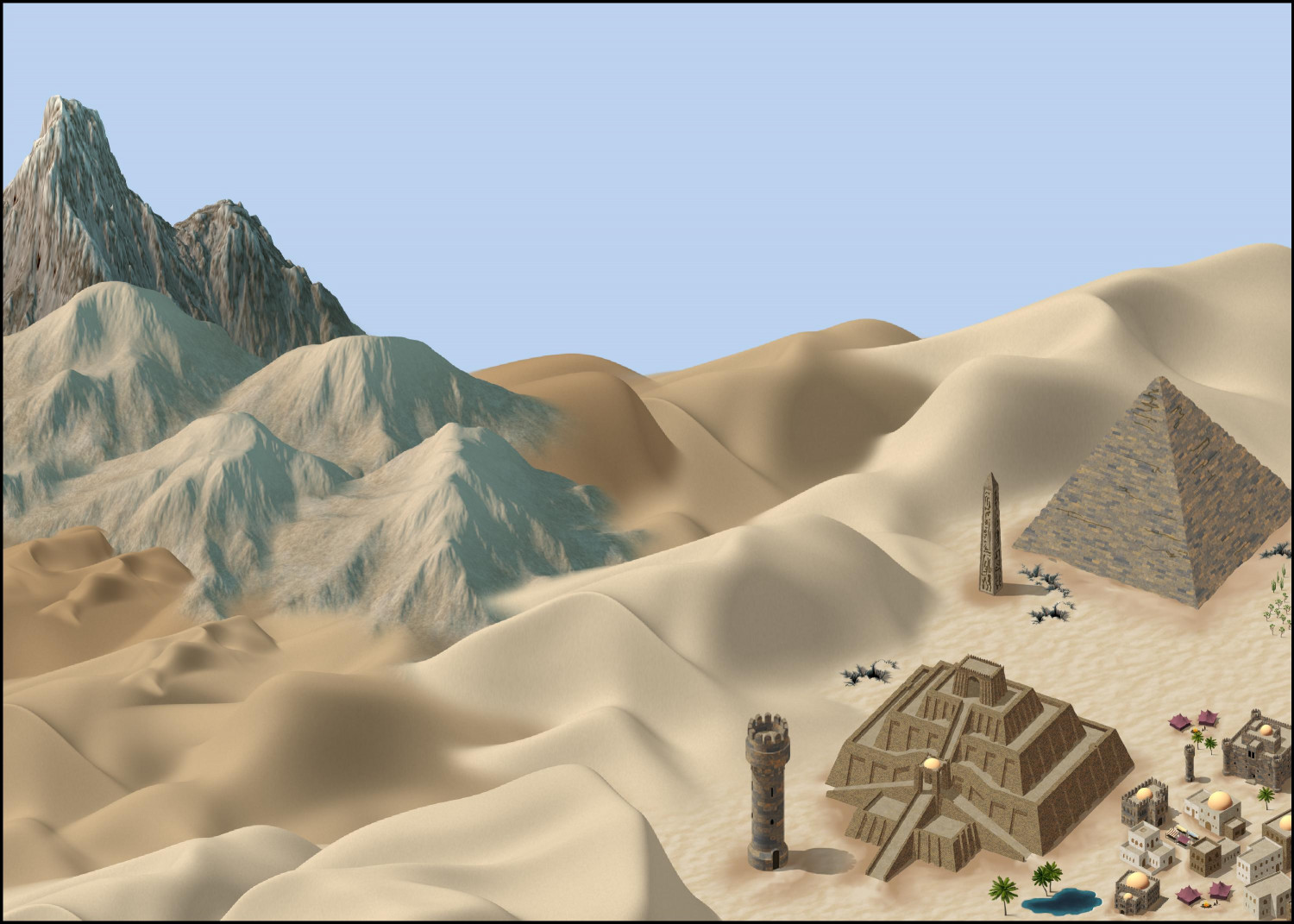
Working on a desert village using the Desert Oasis style, but now I'm wondering if it's turning more into a town than a village, even though it's only 500 feet x 500 feet.
I added a wall around it because I figured they'd be pretty protective of their water source and the crops it's able to sustain. Added an inn and stables because I figured that traders would be coming through. And a pyramid outside of the walls as the Halls of the Dead (either tombs or a columbarium). All of this is making it feel a little big for a village -- which is fine, I can always add it to the Atlas outside of the competition and do another desert village for the contest.
Thoughts?
-
[WIP] - Sakherma Ruins
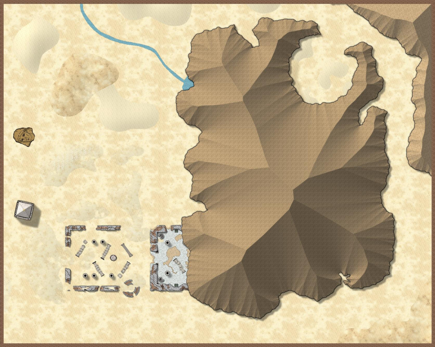
Here's what it looks like with those new sheet effects. I can add more dunes as well -- either a few big ones, or more smaller ones? Also, I may have attached the wrong FCW file before.
-
[WIP] - Sakherma Ruins
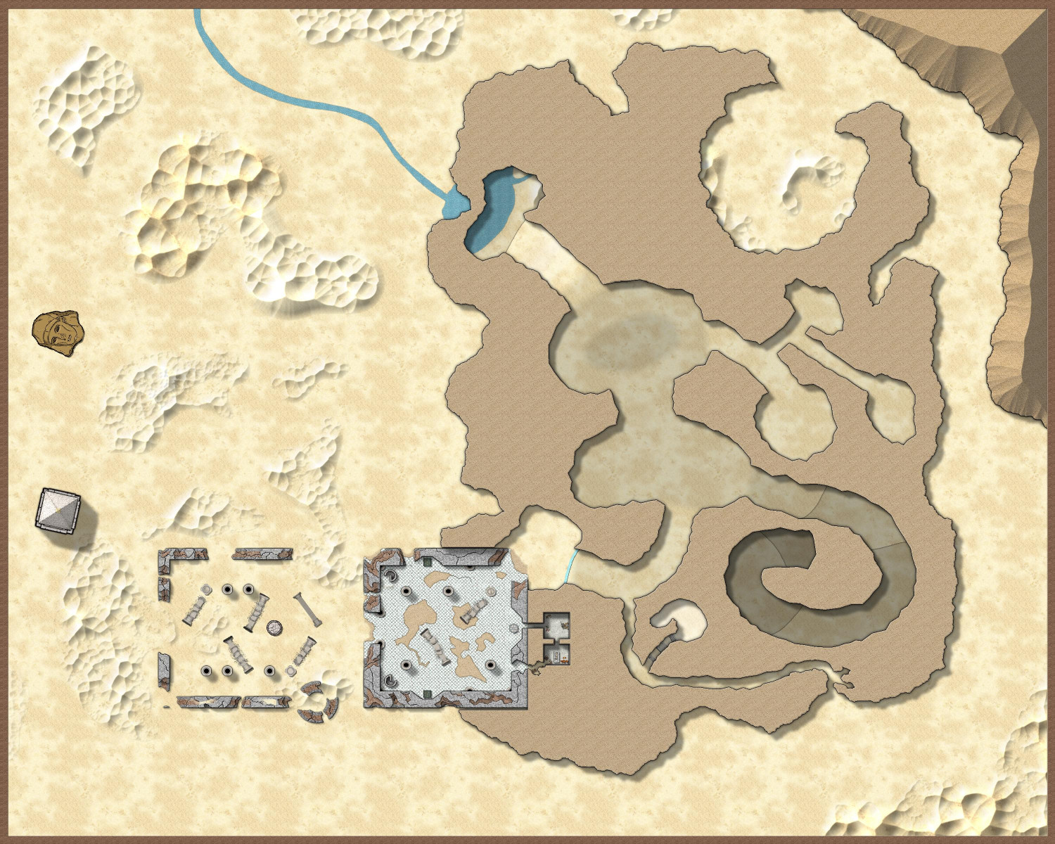
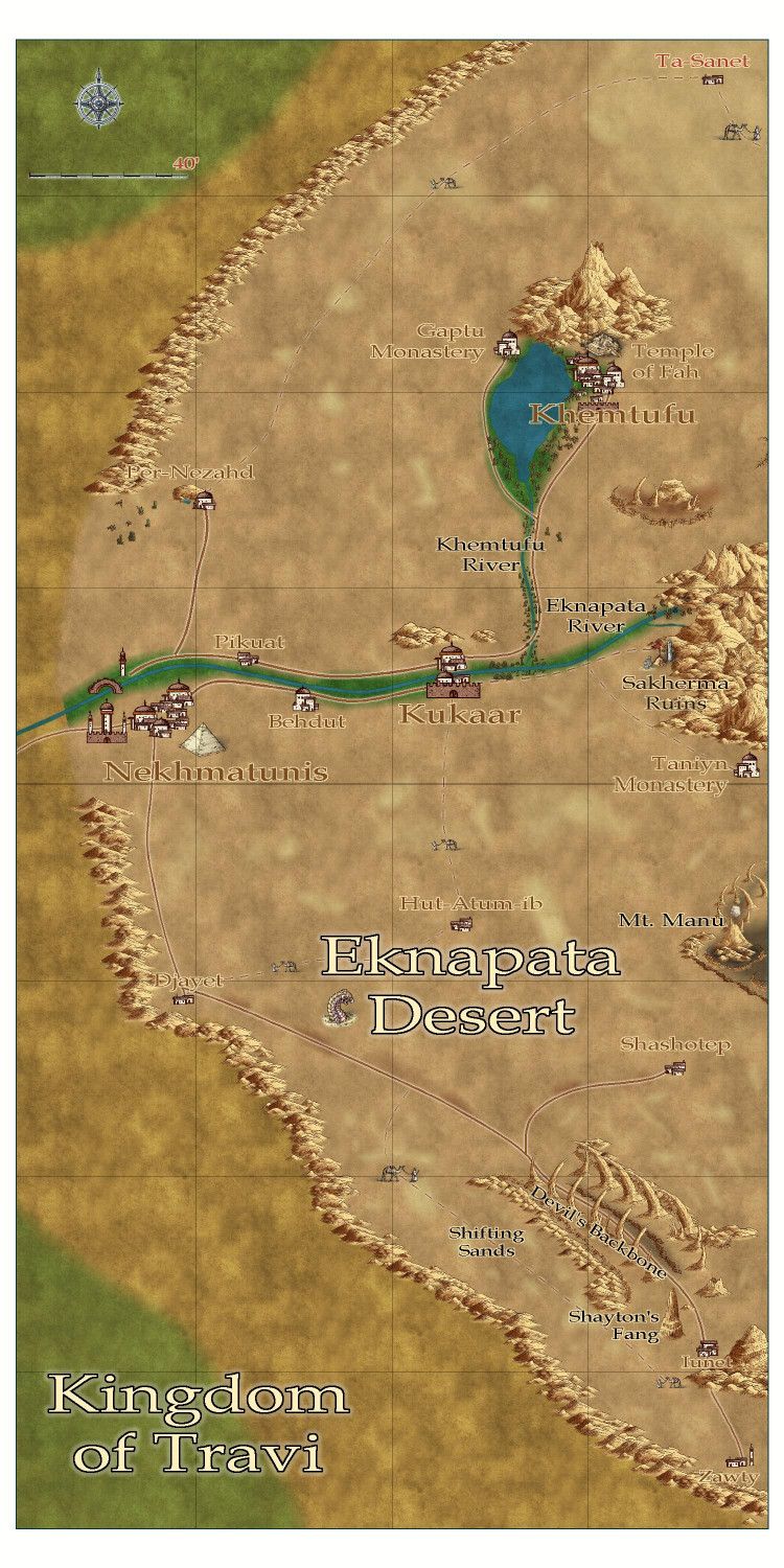
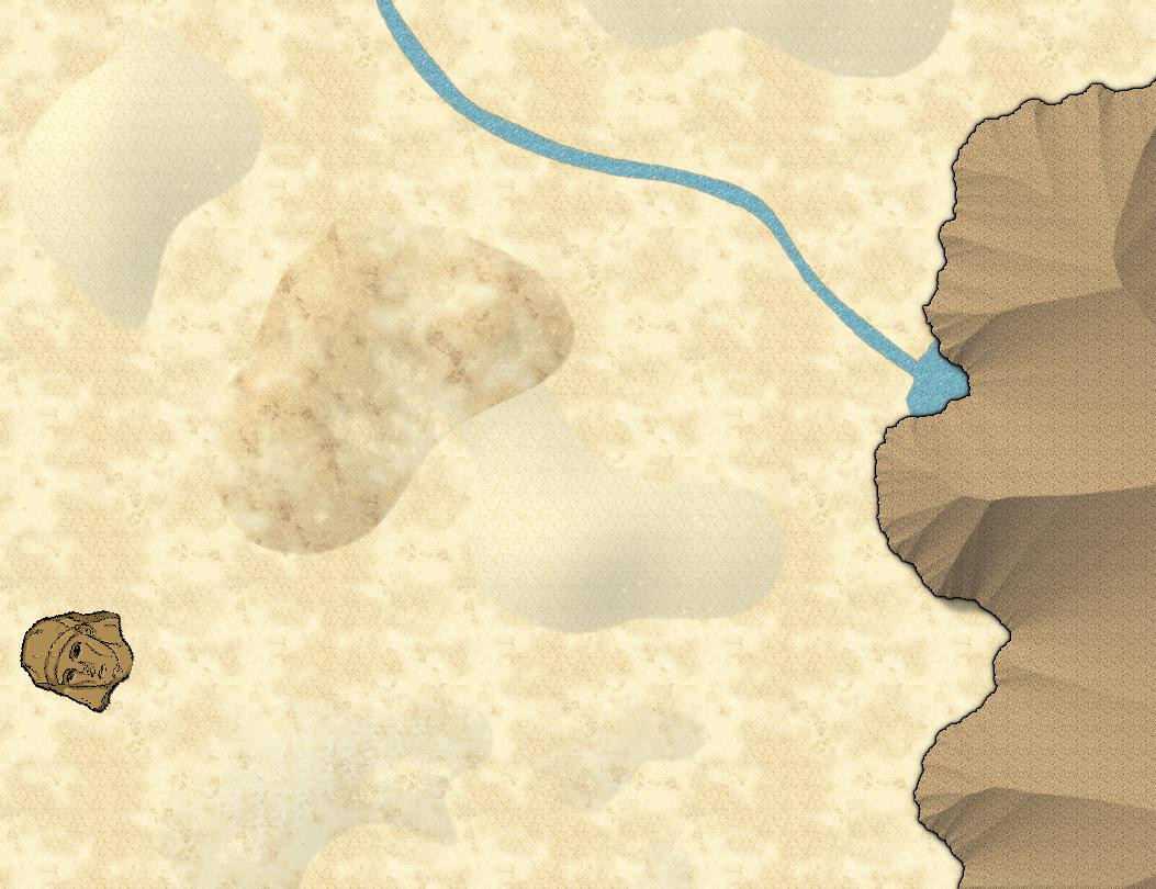
Working on the Sakherma Ruins, a ruined desert temple in the Mike Schley style. For reference, the ruins are at the edge of a mountain range (middle right) in the Eknapata Desert below.
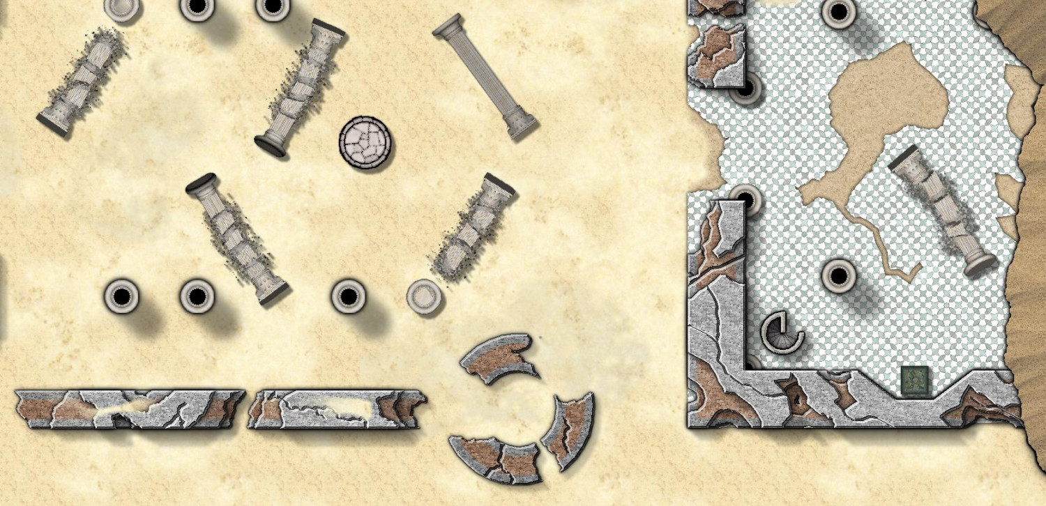
The temple was built with a covered temple partially constructed into the hills, with a courtyard surrounded by walls but open to the sky. The bronze plates that made up the roof were stolen long ago by scavengers, so now what was the interior of the temple is also open to the sky (except for the portion beneath the hill).
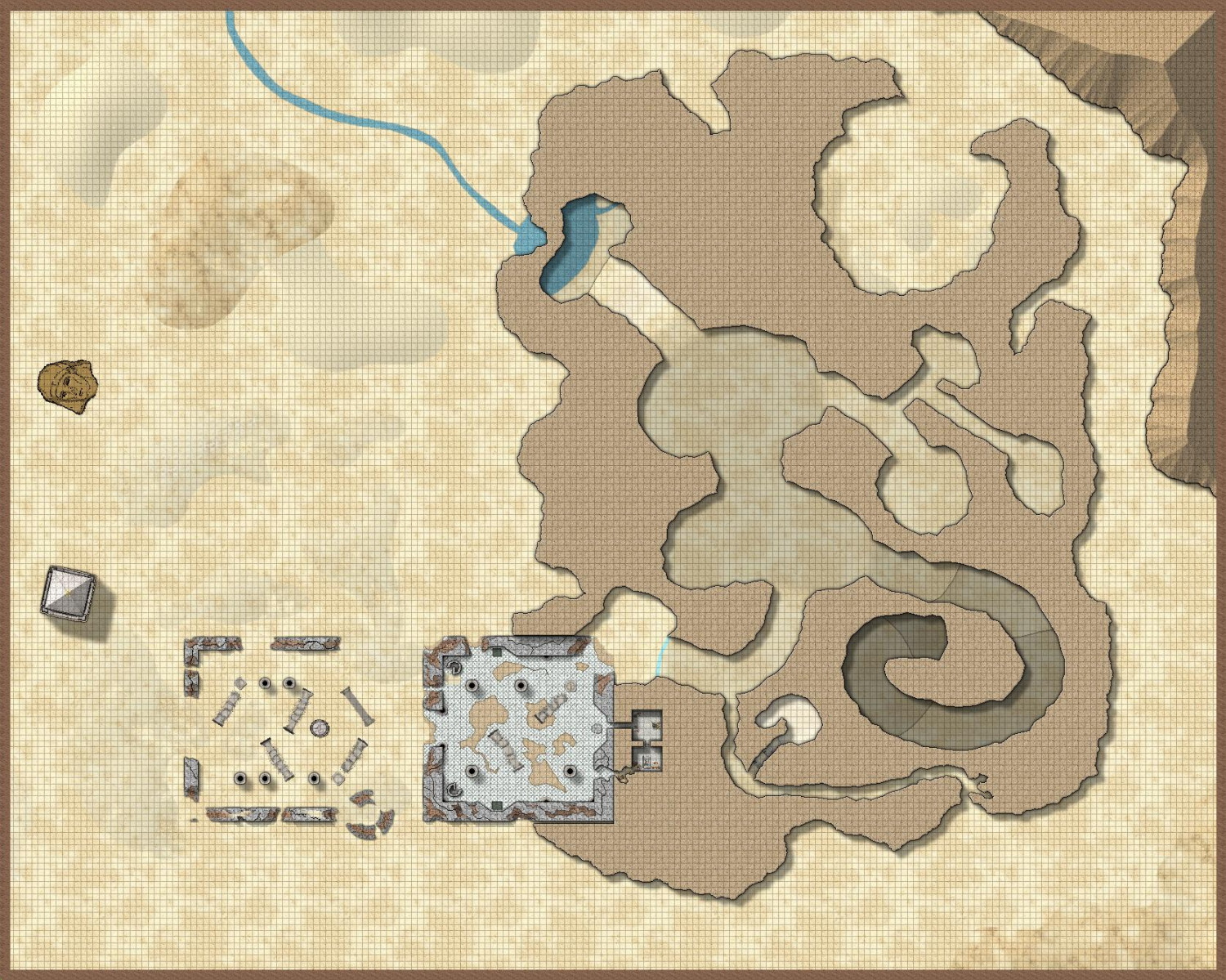
Here's the above-ground portion. The other things in the desert are an obelisk, and the head of a once-gargantuan statue, both appearing on the parent map. The river is a small stream that feeds into the Eknapata River on the parent map.
I tried different approaches with the sand dunes. Some are a lighter shade of the sand, some are a partially-transparent darker shade. Let me know what you think.
I fabricated ruined walls by constructing them in three layers and then using the color key cutout to carve out bits of them. They're supposed to have a brown stone core with a lighter gray stone surface. (The Corinthian pillars come from CA49.)
Now for the inside. I tried to show elevation changes using the techniques that Ralf recently demonstrated in the Height Transitions demo. Most of it shows more gradual changes, using Edge Fade effects rather than the Glow effects that Ralf used. The passageway that spirals down to a level below (not yet mapped) used the Glow effect to show sharper transitions. And there are a few areas with higher elevation. One is a small "chamber" off of a narrow passageway -- there are even stairs in that passageway. The other is the wider passageway leading to the underwater lake. It slopes up and then back down to the water.
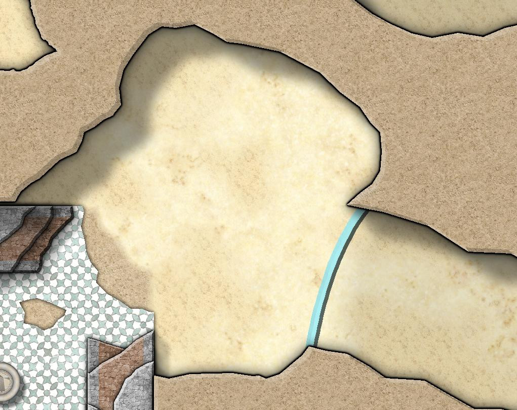
That blue line? That's supposed to be a wall of glass. I added a bevel and a transparency to it. Not sure it works, and I am very much open to suggestions for how to improve it.
Here's the FCW file if anyone wants to suggest different effects to improve the wall of glass, sand dunes, or anything else.
-
Feature Suggestion Thread
I have thoughts on things I'd love to see in future Annuals, but if I mention something that already exists in an older Annual, please advise and I may go buy it!
- Greco-Roman symbols (both City and Dungeon level) - aqueducts, baths, forums, temples, amphitheaters (and at the dungeon level: couches, statues)
- Elven Village (if in a Mike Schley-compatible style, could expand on his elven homes in SS5, or could be totally unique) - tree houses, swan boats and canoes, henges, colorful/exotic flowers and plants, fairy circles, and specialty animals: deer, swans, exotic birds, unicorns, pegasuses (pegasi?), giant eagles and their nests
- Airships - dirigibles, hot air balloons, magical flying ships, Spelljammer-compatible ships
- Academy/University - not sure what this would include, but I will need to design one at some point
- Botanical Garden
If Mike Schley is still doing monthlies:
- Throne Room - thrones, dais, crowns and other regalia (perhaps with pillows to display them on), banners, shields (upright as wall decorations), red (or varicolor) carpets that can be combined into a long strip (or as a fill?), couches or lounge chairs, suits of armor.*
- Library - more bookcase options, more open/closed books, varicolored scroll cases, rolled-up scrolls tied with varicolored ribbon, ink jars with feathered quills.**
- Gnome or Artificer Workshop - though there are some alchemist supplies already
- Mines - tracks, handcarts, pickaxes, individual gems (as opposed to a pile of gems)
- Fairs or festivals - the marketplace symbols have a lot, but I'm thinking about things for performers: juggling pins and balls, musical instruments
- Harbor / Docks / Shipyard - nets, tridents, fish (in open barrels, in piles, and individually), coils of rope
(* With these, I dug through the Mike Schley symbols and found some that could work -- the varicolor "chair ornate" could make for a golden throne, and there's standing armor in weapons. But I haven't found any couches or lounges, just benches and chairs. And there's small area rugs but nothing I saw that could make for a long stretch of carpeting.)
(** The temples and necromancer sets have some of these, though I don't recall seeing feathered quills.)
Also, I have some great photorealistic fills for these sorts of things already, but I'd love more illustrated-style fills for granite, more marble, maybe carpeting?
-
[WIP] Spectrum Desert
-
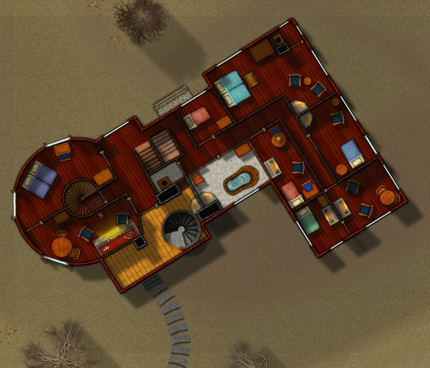
[WIP] Haunted Mansion
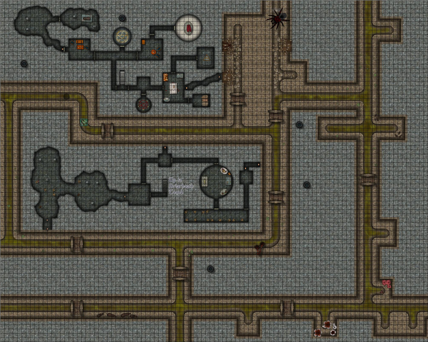
Still writing up the proper description but in the meantime, I figured I'd post what I think is the final version of the final map. More sewer encounters, including a giant spider, some rats (both giant and ordinary-sized), a gelatinous cube, and some hungry foliage. (Of course, a proper battlemap would use moveable tokens, but this is for flavor -- the creatures are on a layer that can be hidden.)
Oh, and a whole bunch of skeletons, and a few zombies -- an explanation for those empty crypts!
-
[WIP] Temple of Fah (May Annual: Stairs and Steps)
I've been playing around with Wyvern's great suggestions.
I tried to give the ziggurat a more weathered look by using the FRACTALIZE command. The default settings were way off but I played with it enough to think that with time, I could get it to look right. The problem was that I tried it on a single layer of the temple, and even with just that single layer, it added so many nodes that it slowed everything way down -- and that was just the first of eighteen levels of the temple! So I think my temple won't look weathered after all. Maybe the gods are preserving it. ;-)
Then I hid the desert symbols so that I could play with the different textures and effects to create the illusion of dunes. The Dungeons of Schley style has five sand fills (with 1 being the lightest) and five corresponding partially transparent textures to overlay. The main background in my map was the middle one, Sand 3_SS4. Over the entire map, I also added the Sand 2 T_SS4 texture on a sheet called SAND TEXTURE 1 BASE, which has an inner edge fade to soften it. I then added another sheet called SAND TEXTURE 2 PATCHES, where I drew patches of the textures 1, 4, and 5 (2 already applied to everything, and 3 being the same as the main sand).
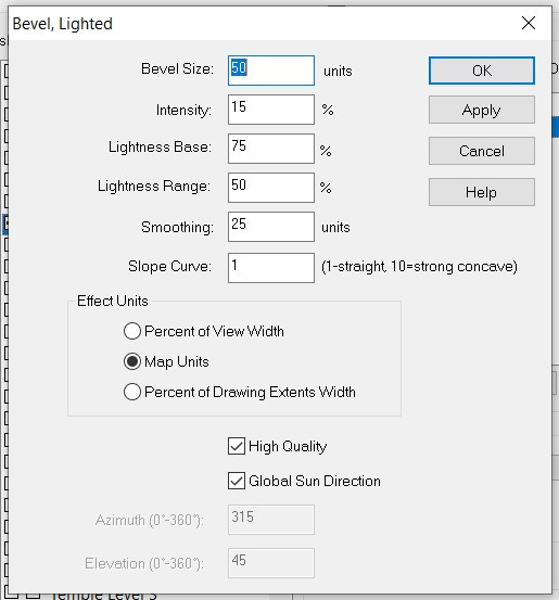
For the dunes, I added another sheet, SAND TEXTURE 3 DUNES. It has three effects: Edge Fade, Inner; Bevel, Lighted; and Blur. I then added dunes, trying with first the Solid 10 fill and then some of the sand ones -- but actually, I kinda think the Sand 3 blends in best.
Here's how it looks:
Here's my Bevel settings:
And here's the FCW:
Thoughts? More dunes? More sand patches? More anything else?
As an aside, learning these desert techniques is very helpful. Last November, one of the first maps I attempted was a Blue Dragon's desert lair. I abandoned it, but I've learned so much in the last six months -- time to revisit it!
-
[WIP] Haunted Mansion
-
[WIP] Duchy of Achalus (Fantasy Realms Reimagined)
I was going to render a part of my Fractal Terrains campaign world in the new Sarah Wroot Revisited style, just to play around with the new style, but I decided to wait until Ralf has a chance to do a tutorial first. In the meantime, I went back to the January 2024 annual that I never really played with, Fantasy Realms Reimagined, to try it with that.
I was going to render the Republic of Lumadair area of my map that I have done before in the Parchment Worlds, Jerion Shading, and Mike Shley styles, but I decided that it was too massively oversized for this style. Those maps are 6,109 by 2,445 miles! (I think we calculated that Lumadair is slightly smaller than Australia, and the map includes part of the mainland continent of Lenoch, which I wanted to include to be able to do more mountains and rivers.)
So I picked a prominent river in the main kingdom I am developing, the Achalus River, and decided that it would run through a duchy named after the river. This is a much smaller map than Lumadair, but it is still 1,343 by 537 miles.
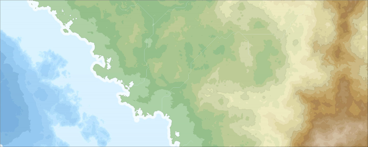
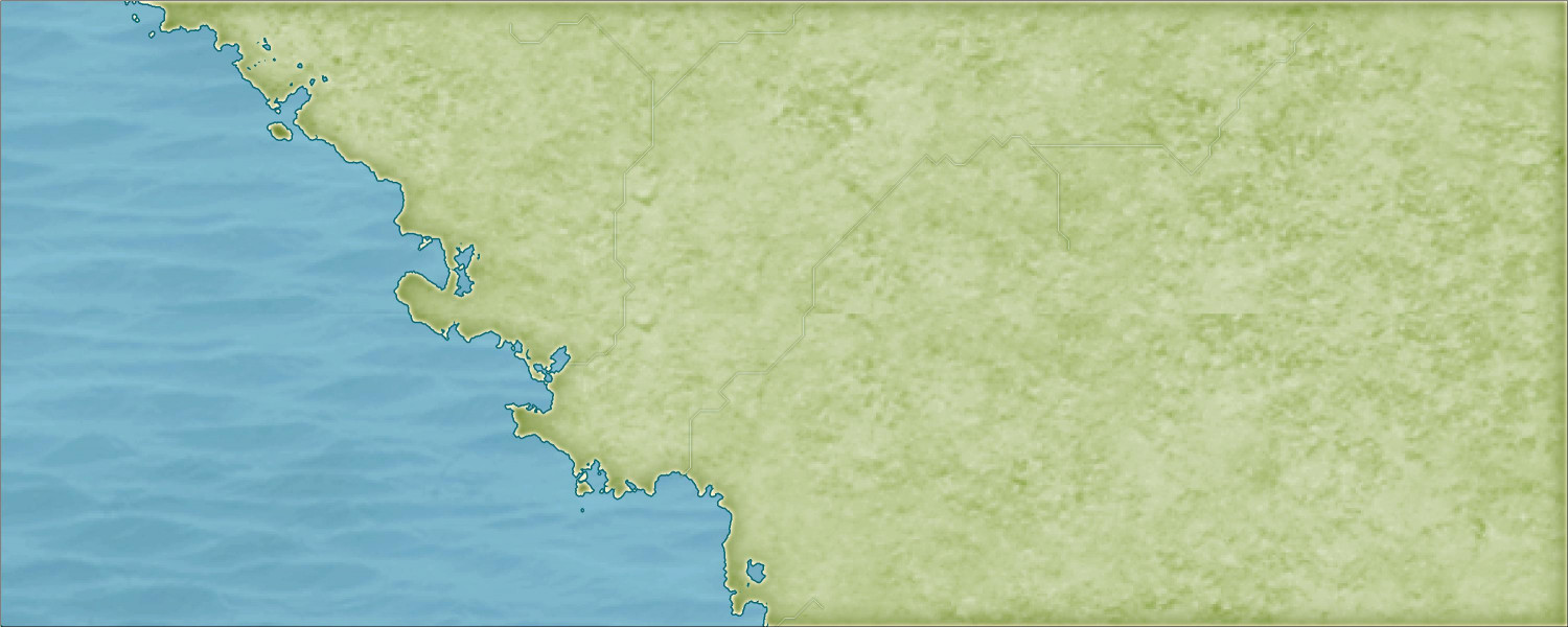
Anyway, here is the Fractal Terrains output in both the Jerion and Schley styles, just for frame of reference:
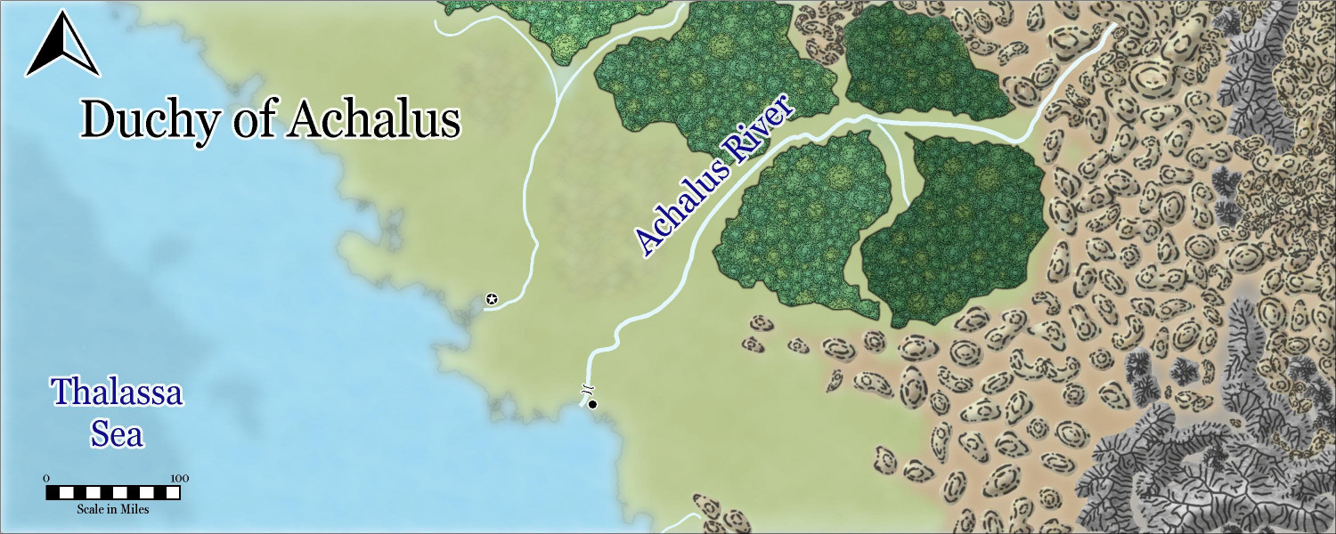
And here is what I did in Fantasy Realms Reimagined:
I copied over a mid-level elevation contour from the Jerion export to serve as a temporary drawing guide for the hills, and then another higher elevation as a temporary guide for the mountains. This style doesn't actually have a hills or mountains background the way the Schley style does (I mean, it does, but just for the individual hill or mountain itself: it renders onto a layer for the hill or mountain itself, with the ridge lines going on another layer). But I decided it was helpful as more than just a drawing guide, so I changed the hill background to brown and the mountain one to gray, put them on separate sheets, and added Edge Fade and Blur effects.
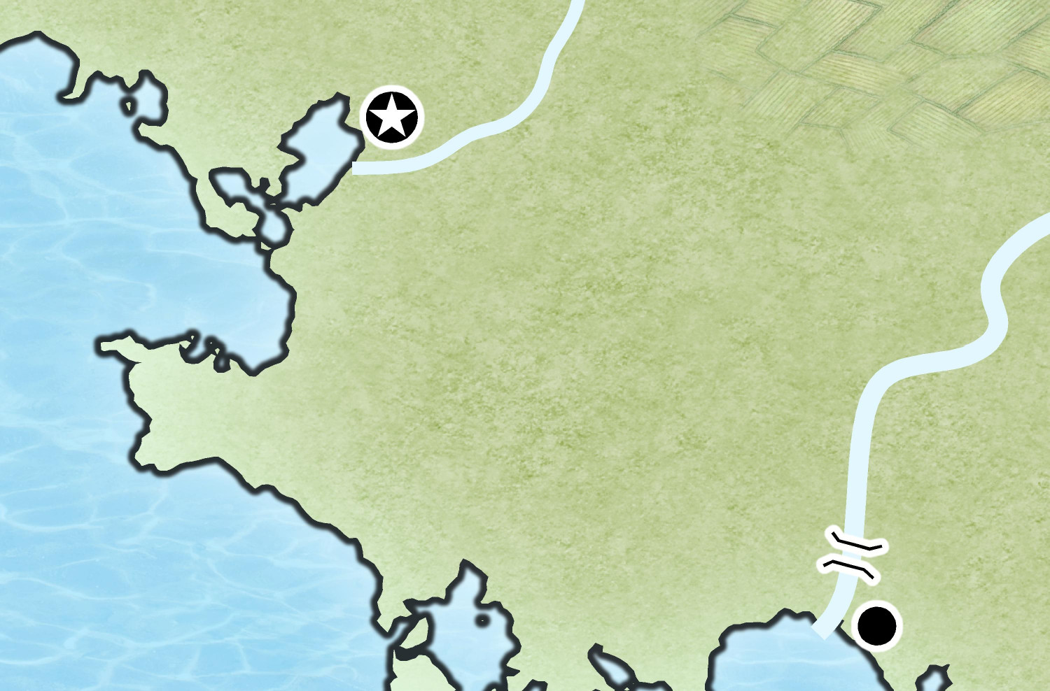
The coast looks blurry, but that's just because the map is so large. Here's how it looks zoomed in (it has a bevel effect on the LAND sheet instead of having a separate outline on a Coast sheet):
Even though I labeled this post as a Work in Progress, I probably won't do much more on this particular map. We'll see how much more I do when I have a chance to revisit it with the Sarah Wroot Revisited style. I may end up adding all the extra stuff when I flesh out the entire kingdom, which I suspect I will do in the Mike Schley style. This was just for fun and practice -- and it gave me a chance to use a style from this year's annual that I haven't really worked with before (other than using the hills in a back-burnered rendering of the Wizard of Oz map that I'm working on).
-
Live tutorial suggestions
In one of the recent Live video tutorials, Ralf asked for suggested topics for future Lives, as many of the mapping styles and annuals have been done. I thought I would create a thread here where people could add their suggestions.
Before adding my own, I wanted to mention (for the sake of completeness) the request from someone else for a tutorial about OSR Dungeons from the 2015 annual.
My request is to learn more about creating and using house symbols.
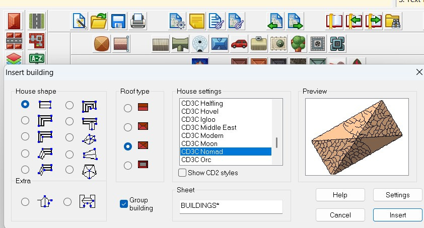
I'm not talking about the City Designer tools for creating houses, or drawing streets of houses. Ralf has shown that in a lot of tutorials (shown in this screengrab), such as the Big City Project tutorials from a few years ago, among others.
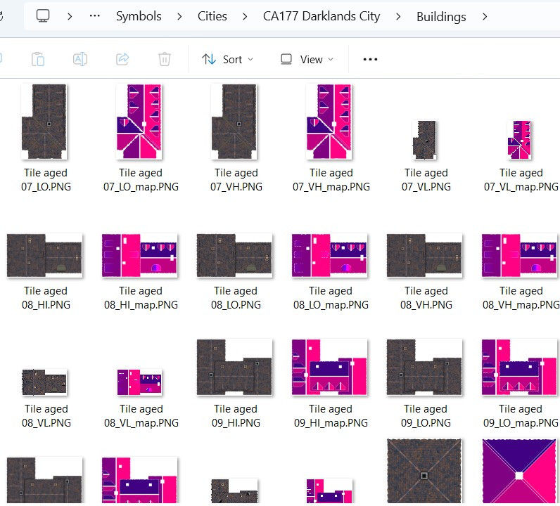
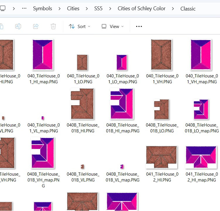
I am specifically curious about creating house symbols. They come with a shading file that I am curious about, and they respond to sheet effects in ways that many other symbols don't.
Here are some screen grabs of the symbols with the shading files to explain what I'm referring to:
What are those shading files for? (I understand it has to do with how the building reacts to the global sun, but I am curious to learn more.)
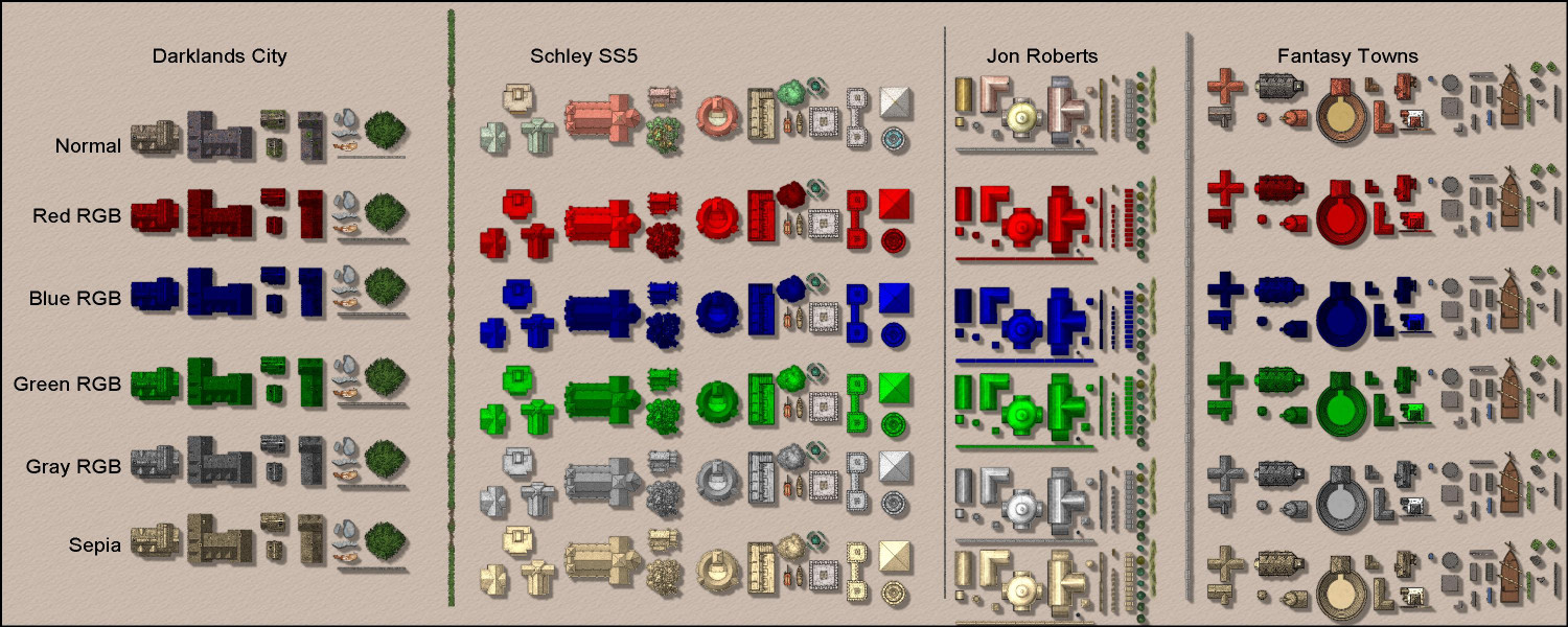
These buildings respond to sheet effects that (usually) don't affect other symbols. For example, here's a mockup I did for use on this forum only* showing the RGB Matrix effect on building symbols from different styles. I also included some non-building symbols to show how the RGB Matrix doesn't always work on them (though apparently it does work on some but not all of Mike Schley's symbols).
Anyway, a tutorial on how these buildings work and how to create building symbols would be different and super informative.
If folks have other ideas for Live videos they'd like to see, maybe this thread can be used for those suggestions.
Thanks!
* Please don't share this mockup outside of this forum, as it is a violation of the End User Licensing Agreement to share images of rows of CC3 symbols, as they could be used to steal ProFantasy's intellectual property. Admins: please delete this image or thread with my apologies if it itself would be considered a violation of the EULA.


