What am I doing wrong when using "Change Fill Style"?
 hsv216
Surveyor
Hi,
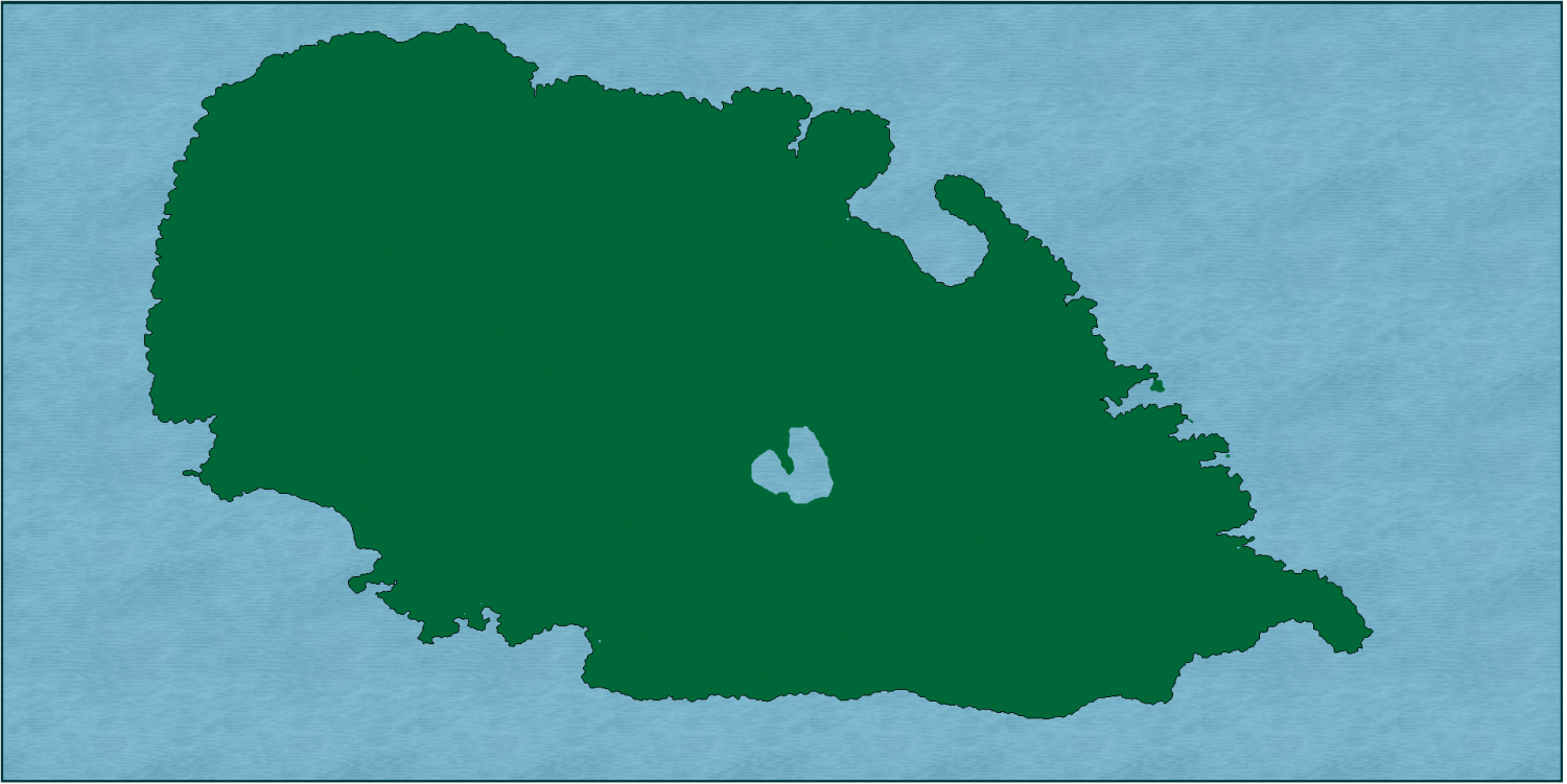
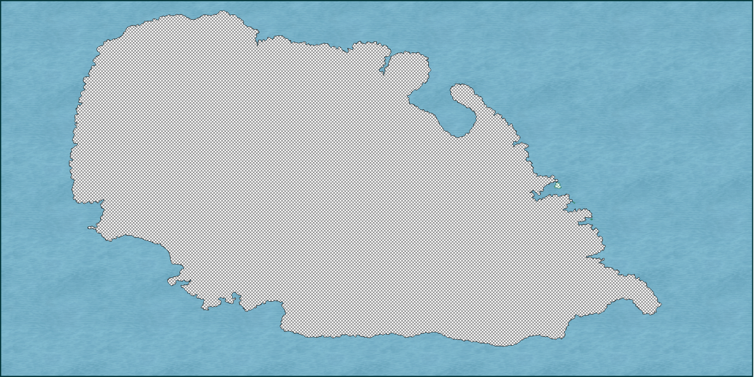
I have the below landmass, but when I do Change Fill Style, it fills in the lake / inland sea. I have tried to follow Ralf's video where he did the import from FT to CC, but his land mass did not have an inland sea or lake.
This is a landmass that I have brought in from FT3 and then done the copy and paste to a new instance, etc. Screenshots show before and after. I am just using crosshatch as an example, but does not seem to matter what style I use, it still fills in the lake / inland sea.
I just don't know what I am doing wrong, or why it is fillilng in the little lake, and then what I can do fix it! :)
Thanks in advance.


Comments
Can you post the drawing file (FCW). This will depend very much on whether your landmass is one multipoly or two separate polygons for the land and the lake.
One thing you might want to try is to hide everything but the landmass. Then, change the fill on the landmass. After that, turn the other sheets back on to see if the lake shows now.
Thanks Julian, I did try that, and no luck. :(
@Ralf please find attached file. When doing the info list it does show a lot of polygons within polygons, and I think you may be onto something. :) Thank you. :)
The problem you are encountering here is that there is both an outline and a landmass. When you use change properties, you end up changing both of them (or all 3 in this case). You need to select just the land poly.
In your case, the easiest way to do that is when using schange properties to select the landmass by the edge of the inner lake, instead of the outer coastline. There should only be one entity there. This saves you from doing other tricks to select only the right entity.
Thank you Remy, that has helped and only changed the landmass! I think I may have noticed it picked up multiple entris, but could not tell what it was picking up. Thanks a lot. :)