Problems with CC3+ 3.94 crashing...
 TalonJon
Newcomer
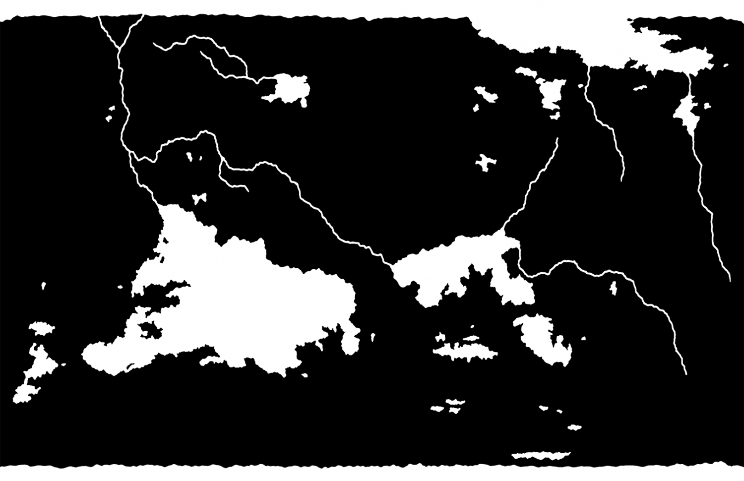
So Im trying to make my first "real" map with the program. Ive got a map I built in CorelDraw, saving it is a transparent .png. I open up the program, create a new Overland map using the Mike Schley overland as my base, setting it to 2550x1650 (Im basically trying to create a world map 11x17 for later printing for our CAV game universe).
After opening the map, I set up a "bitmap" sheet above "land", set the layers to temporary, and insert the file. I use the CONTOURSM (and have tried it with TRACE as well) and it does it fine. From there the program just keeps crashing. Ive tried it on two computers, one with a fresh install of 3.94, and same results. What am I doing wrong?
On a side note, Im hoping to put together our own "style" as I havent been wild about the sci-fi overland stuff Ive seen so far. Any suggestions on which one you think is best?
I have attached the .png Im using (without transparency so you can see it). Its 1632x1056 with a res of 96.
Any help would be much appreciated!


Comments
Once you have used TRACED, if you then use Info->List on the resulting trace, how many nodes do you have?
2814..sorry that is one part of it. Trying to get total of all lines now. 14695 total nodes.
Hmmm. That's not actually all that many compared to some maps, so it can't be a case of too many nodes.
Would you mind uploading the FCW with the trace done so we can see what's making it crash?
Not really related to crashing, but that image of yours isn't the best to trace. You don't really want those narrow rivers represented as holes in your landmass. Same with lakes really. (There are some advantages to doing it that way, but in general it complicates things.)
Honestly, I am a bit confused about that image, my mind can't really process it. If the white is water, your landmass in black loos really odd with those straight water section north and south, and if the white is landmasses, then what is the white lines? But in general, when you are using traced, you'll want to start with just the landmasses. Ocean and rivers can then be made as a separate polygon in a separate pass.
15,000 nodes will make it very slow, but it shouldn't really crash. More likely to green-screen you than crash. You get a green screen when the refresh is having to work overtime with too many nodes.
Is that what is happening?
No. It traces and I see the lines in creates and then click on any button and the program closes. I tried it earlier and typed in simplify and click on biggest part. It worked, and then i deleted the image and saved. So far its still "working." I tired to just redraw it but the coasts Im getting are just to jagged and dont look very natural to me on a bigger world map.
To Monsen, the water is white with frozen glaciers on the top. Not sure whats wrong with N-S rivers though?
I think the only way to be sure of what is happening is if you let someone have a look at the FCW. Right at the moment its the middle of the night in Europe and an hour later for Remy than it is for me, so it might have to wait for a while now.
You are quite welcome to private message either of us with the file if you don't feel like sharing it in public.
We won't be able to see the image, since it is not on our PCs, so if you could send us one that you have already traced, but which is still crashing that would be great. Thanks
Thats the problem. Once I got it to finally not crash, I saved over the old one and its worked since. No idea why, it did it for 2 days on 2 computers and of course, once I posted, it stopped. Ive attached the file but it seems to work now.
Yes, it does seem to be working ok now.
That's good :)
Now that we have solved that problem I do agree with Remy above where he admits to being a bit confused about what is what with the map. The way we do rivers normally is to draw them on top of the landmass. I hope cutting them out of the land this way doesn't lead to more problems down the road, but let us know if it does.