Community Atlas - Kentoria - Shoenia
Here is an addition to the Kentoria continent, using Sue's great new Spectrum style.
Not finished yet - text, documentation and other prettying up to do.
Not finished yet - text, documentation and other prettying up to do.


Comments
You may notice, unusually for me, that they bear uncanny similarities to various mappers' names. This is because I set a challenge to the following to map their namesake for inclusion into the Atlas.
Shessaria (a town of about 2-5000) - Shessar to do.
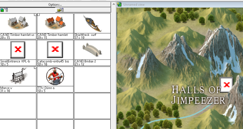
Halls of Jimpeezer (dwarf mansions which are NOT ruined) - JimP
Holy Christina Shrine (temple/monastery complex and site of regular pilgrimages) - Christina Trani (Lorelei)
Clithgow Light (south-west Lighthouse ?smugglers den) - Clithgow
Sudanil Island (the largest offshore island with lighthouse and hamlet) - Loopy Sue if/when she has time - a quickie, not a marathon, Sue.
Wreck of the Ralfshemm (wrecked ship) - Ralf (to encourage you to do a video tutorial on a ship)
Monseignor (largest city in the region - at least 10,000) - Remy Monsen, to keep him occupied and also distracted from his teaching career.
Wyvern Citadel (large castle) - Wyvern.
Thanks for the island, though - I need somewhere to go where I will be free of the tourists now flooding out my hometown.
edit:
I doubt I can get to it this week; however, I will need the fcw file. Thank you.
I will now work on Duke Walker's Citadel. What an egotistical mapping journey this is. 3:)
Do I need to add more? Do I need to label more?
What do you think of the way I have done the contours?
The paving at the citadel looks weird though. Those tiles look way to large to be actual tiles, and if they are smaller decorations made up to be tiles, it look weird, since it doesn't really align to any features in there.
I also just noticed that your walls aren't casting shadows.